AgriSens DEMMIN 4.0 will continue

AgriSens DEMMIN 4.0 will continue

February 8, 2023

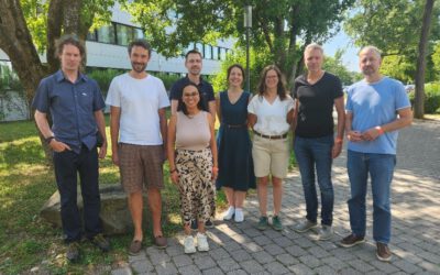
We are pleased that the Federal Ministry for Food and Agriculture (BMLE) last week confirmed the extension of our AgriSens DEMMIN 4.0 project for the next two years. Together with our project partners, we are very excited and look forward to further developing applications of Remote Sensing and Geoinformation for agricultural actors in Germany.

Our specific task during this time is to strengthen the applicability and functionality of our DataCube in close cooperation with our partners.


you may also like:

🗺 Exploring Map Visualizations

🗺 Exploring Map Visualizations

Within our EAGLE courses our students have to learn a wide variety of skills - beside the fundamental earth observation theory and practice also skills like map creation is part of the curriculum. One of our students Ronja Seitz has created three visualizations guides...

Successful Completion of UNIversInternational Certificate

Successful Completion of UNIversInternational Certificate

In line with its internationalization strategy, the University of Würzburg supports administrative staff in their task of advising and supporting international students, guests, and academics. To this end, it has launched the "UNIversInternational" certificate...

The “Geolingual Studies” team visited the DLR EOC

The “Geolingual Studies” team visited the DLR EOC

The "Geolingual Studies" team of the University Würzburg visited the DLR-EOC on 3 and 4 July 2025. Geolingual Studies is an innovative area of research and teaching which takes a decisively applied linguistic approach and combines methodologies from linguistics,...

Course on Object-based image analysis

Course on Object-based image analysis

Dr. Michael Wurm from the German Aerospace Center (DLR) gave a class about Object-based image analysis (OBIA) using the eCognition Software for the EAGLE students. The course gives an insight into the theoretical basis of OBIA and using different datasets and tasks...