FOSSGIS 21.-24. März 2018: deutsch-sprachige Konferenz über Open Source, Open (Geo-)Data und Open Standards

FOSSGIS 21.-24. März 2018: deutsch-sprachige Konferenz über Open Source, Open (Geo-)Data und Open Standards

April 4, 2018

Ziel der jährlich stattfindenden Konferenz ist die Verbreitung von Freier und Open Source Software für Geoinformationssysteme. Hier trafen sich Anwender und Entwickler zum gemeinsamen Austausch über Anwendungs- und Arbeitsmöglichkeiten sowie neuste Entwicklungen in diesem Bereich. Es ging um Webmapping, Geodateninfrastrukturen, Geodatenmanagement, GeoProcessing und Desktop-GIS und um freie Geodaten, wie OpenStreetMap.

Mich als WebGIS-Programmiererin am Lehrstuhl für Fernerkundung interessierten v.a. die neuesten Entwicklungen auf den Gebieten, die ich bereits im CAWa-Projekt für das Open-Source WebGIS „WUEMoCA“ (Water Use Efficiency Monitor in Central Asia, siehe auch hier) verwende:

  • relationale Datenbanken mit räumlicher Erweiterung (Postgres/PostGIS),
  • Kartenserver (GeoServer),
  • JavaScript-Webkarten-Applikations-Bibliotheken (OpenLayers, GeoExt),
  • Legenden-Styles (Styled Layer Descriptor, CSS),
  • OGC-konforme Kartenservices (WMS, WFS),
  • JavaScript-Bibliotheken für Web-Applikationen und Applikations-Architekturen (Sencha Ext JS)


aber auch Neuerungen und Alternativen, die ich gern in zukünftigen Projekten ausprobieren möchte:

you may also like:

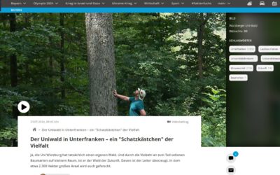
Our research site and project covered by BR

Our research site and project covered by BR

The University forest at Sailershausen is a unique forest owned by the University of Wuerzburg. It comes with a high diversity of trees and most important is part of various research projects. We conducted various UAS/UAV/drone flights with Lidar, multispectral and...

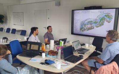
Meeting of the FluBig Project Team

Meeting of the FluBig Project Team

During the last two days, the team of the FluBig project (remote-sensing.org/new-dfg-project-on-fluvial-research/) met at the EORC for discussing the ongoing work on fluvial biogeomorphology. After returning from a successful field expedition to Kyrgyzstan a couple of...

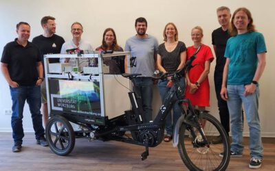
‘Super Test Site Würzburg’ project meeting

‘Super Test Site Würzburg’ project meeting

After the successful "Super Test Site Würzburg" measurement campaign in June (please see here: https://remote-sensing.org/super-test-site-wurzburg-from-the-idea-to-realization/ ), the core team from the University of Würzburg, the Karlsruhe Institute of Technology,...

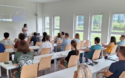
EORC Talk: Geolingual Studies: A New Research Direction

EORC Talk: Geolingual Studies: A New Research Direction

On July 19th, Lisa Lehnen and Richard Lemoine Rodríguez, two postdoctoral researchers of the Geolingual Studies project, gave an inspiring presentation at the EORC talk series.   In the talk titled "Geolingual Studies – a new research direction", they...

EO support for UrbanPArt field work

EO support for UrbanPArt field work

From May to September, Karla Wenner, a PhD student at the Juniorprofessorship for Applied Biodiversity Science, will be sampling urban green spaces and semi-natural grasslands in Würzburg as part of the UrbanPArt project. Our cargo bikes support the research project...

Cinematic drone shots

Cinematic drone shots

We spend quite some time in the field conducting field work, from lidar measurements to vegetation samples in order to correlate it with remote sensing data to answer various research questions concerning global change. Field work is always a 24/7 work load and...