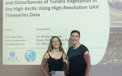
![]() On 09/10 February 2015 the LaVaCCA project team from Würzburg met with the project consortium at the Al´ Farabi National Kazakh University, Kazakhstan. The initial project meeting focused on the presentation of the working packages and important organizational issues.
On 09/10 February 2015 the LaVaCCA project team from Würzburg met with the project consortium at the Al´ Farabi National Kazakh University, Kazakhstan. The initial project meeting focused on the presentation of the working packages and important organizational issues.
The LaVaCCA project addresses the identification of hotspots of decreasing land production and gaining knowledge about the drivers of change in land production and LD by analysing socio-economic and ecological indicators. Economic assessments of land use options under given ecological conditions will be elaborated. A strong methodological focus is set on remote sensing, geographical information systems (GIS), indicator systems, land use modelling, and economic optimization. The generated information will be bundled and presented as a tool of discussion support for politicians and decision makers in their efforts to increase food security and combat environmental degradation in the irrigated areas of CA.

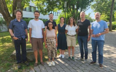
LaVaCCA project consortium members at the kick-off meeting
After the very successful meeting, the project partners from Germany, Uzbekistan (SIC-ICWC, KRASS) and Kazakhstan (Al´ Farabi University) started planning the extensive field surveys in the lowlands of the Amudarya and Syrdarya river deltas, which are the only rivers flowing into the Aral Sea. Methodological focus is set on measuring biophysical parameters, e.g. fPAR and soil salinity for remote sensing based assessments of crop yields and salinity, respectively. Also, interviews with farmers and socioeconomic assessments of alternative land use options on degraded or abandoned agricultural lands are recently being conducted.
For further information on this project, or interest in B.Sc. or M.Sc. thesis in the context of the LaVaCCA project, please contact Dr. Fabian Löw.