


The student Jakob Rieser from the department’s international EAGLE graduate program dedicated his thesis to the remote-sensing based classification and analysis of biological soil crusts (biocrust) in the Lieberoser Heath in Brandenburg, eastern Germany. His thesis is the first of its kind aiming at the detection of biocrust by optical Sentinel-2 data and its seasonality and activity in response to rainfall in a large-scale steppe-like landscape (> 500 ha) in Germany. This study was conducted in cooperation with Dr. Maik Veste from the Chair of Soil Protection and Recultivation and the Brandenburg University of Technology Cottbus – Senftenberg and supervised by Dr. Sarah Schönbrodt-Stitt from the Department of Remote Sensing, University of Würzburg.
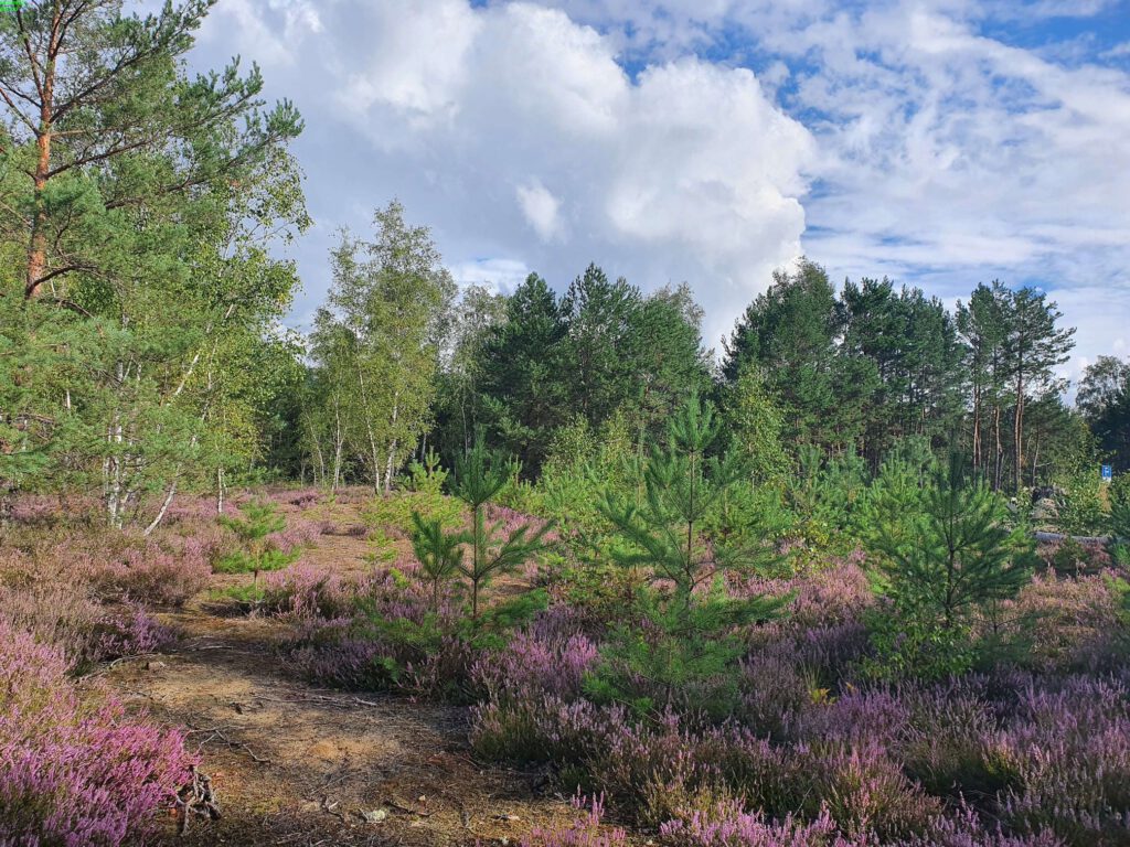
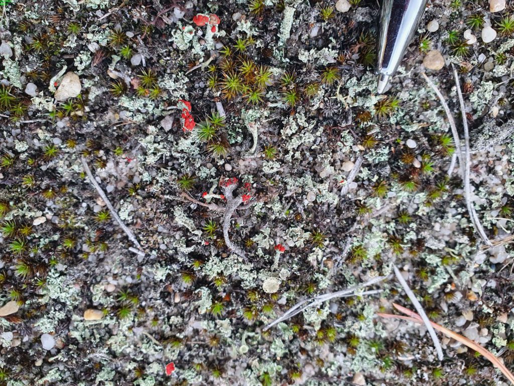
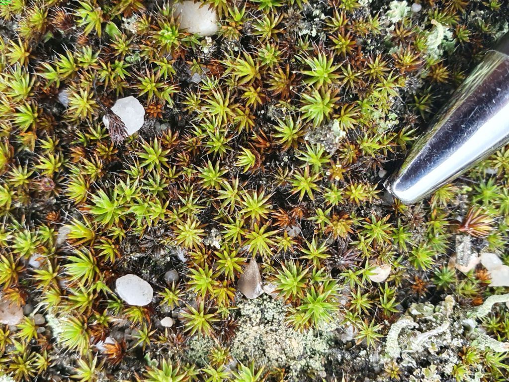
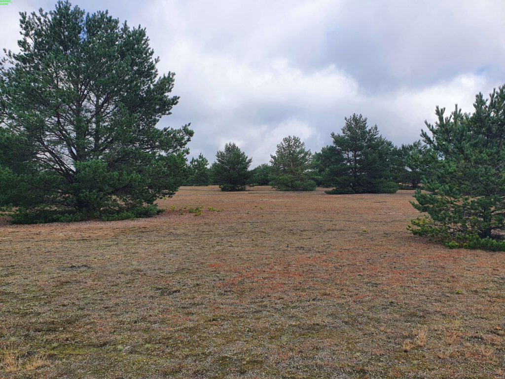
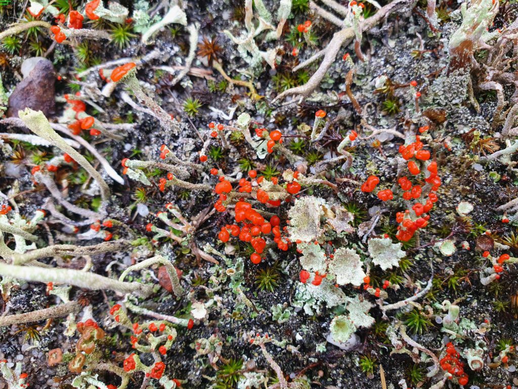
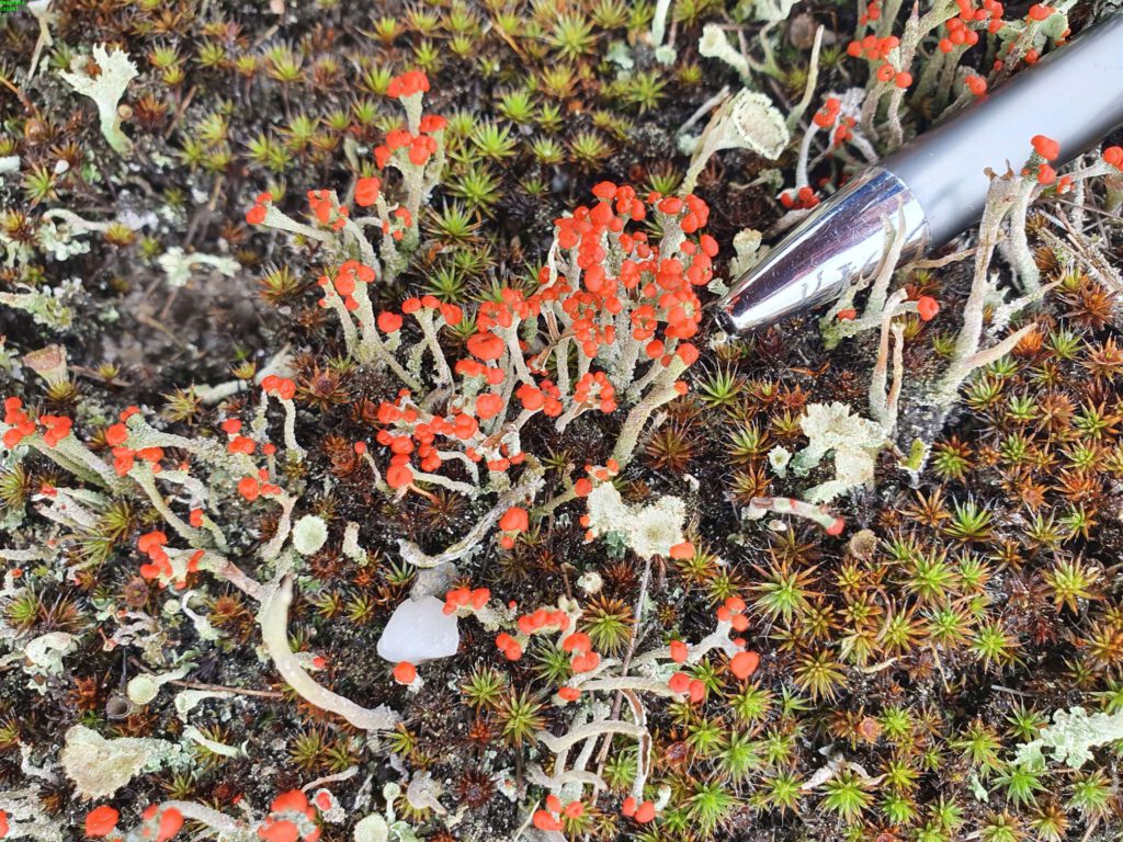
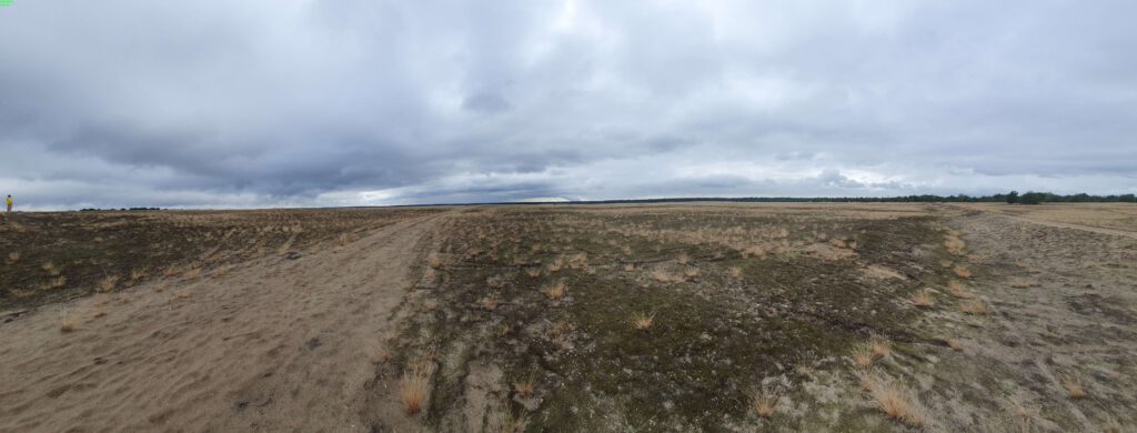
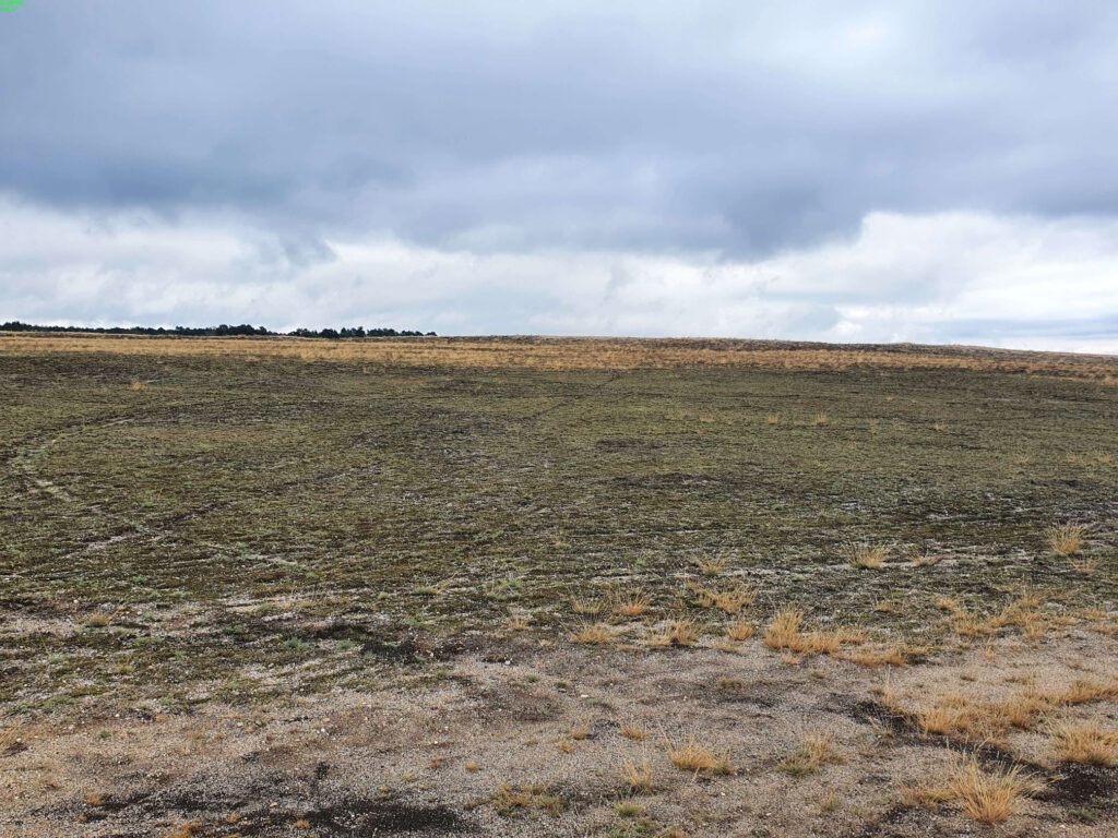
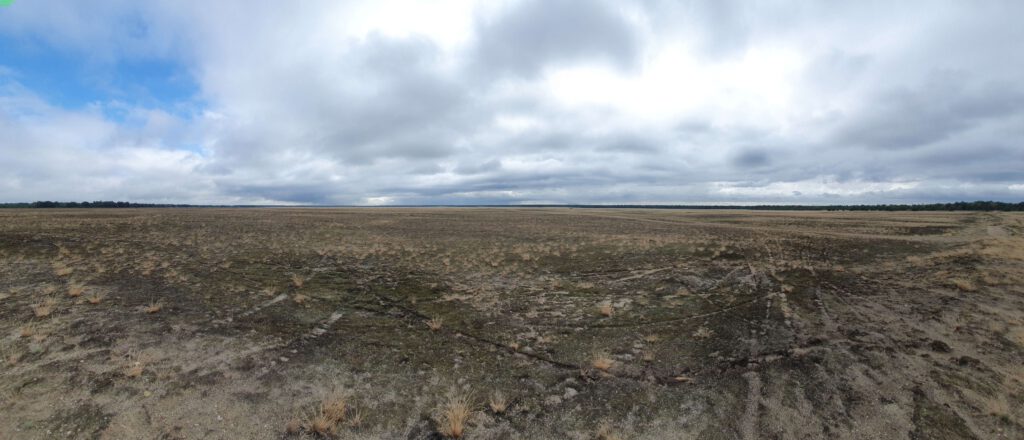
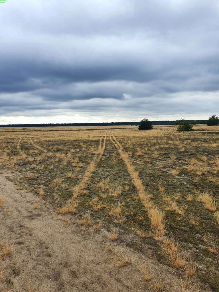
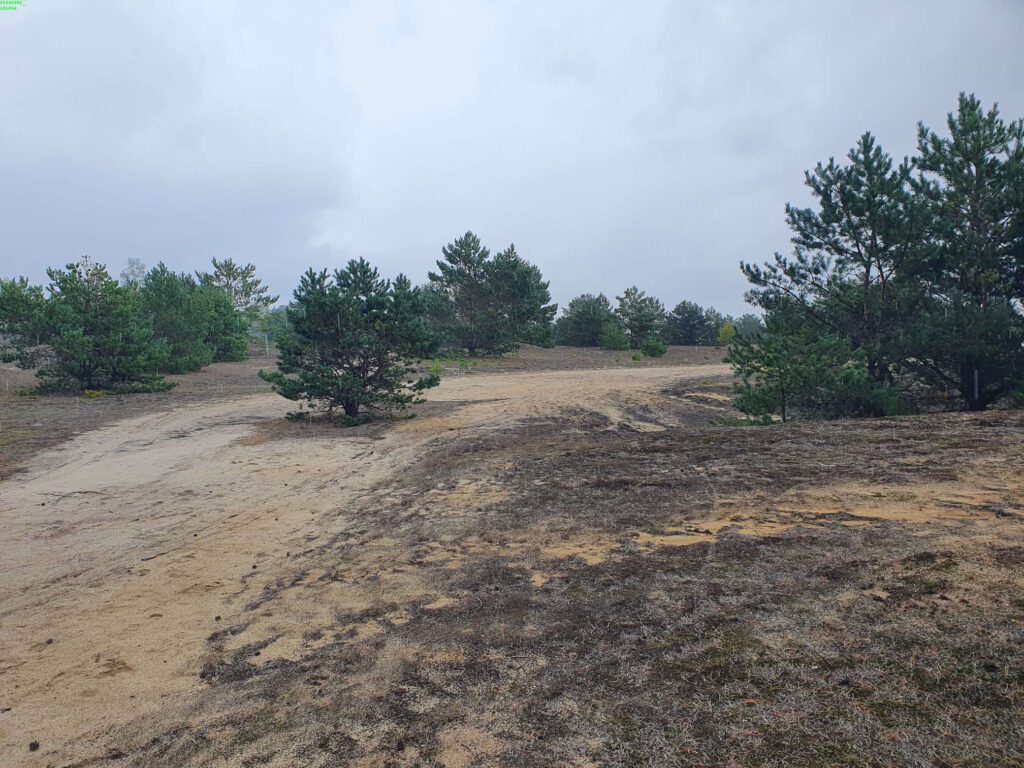
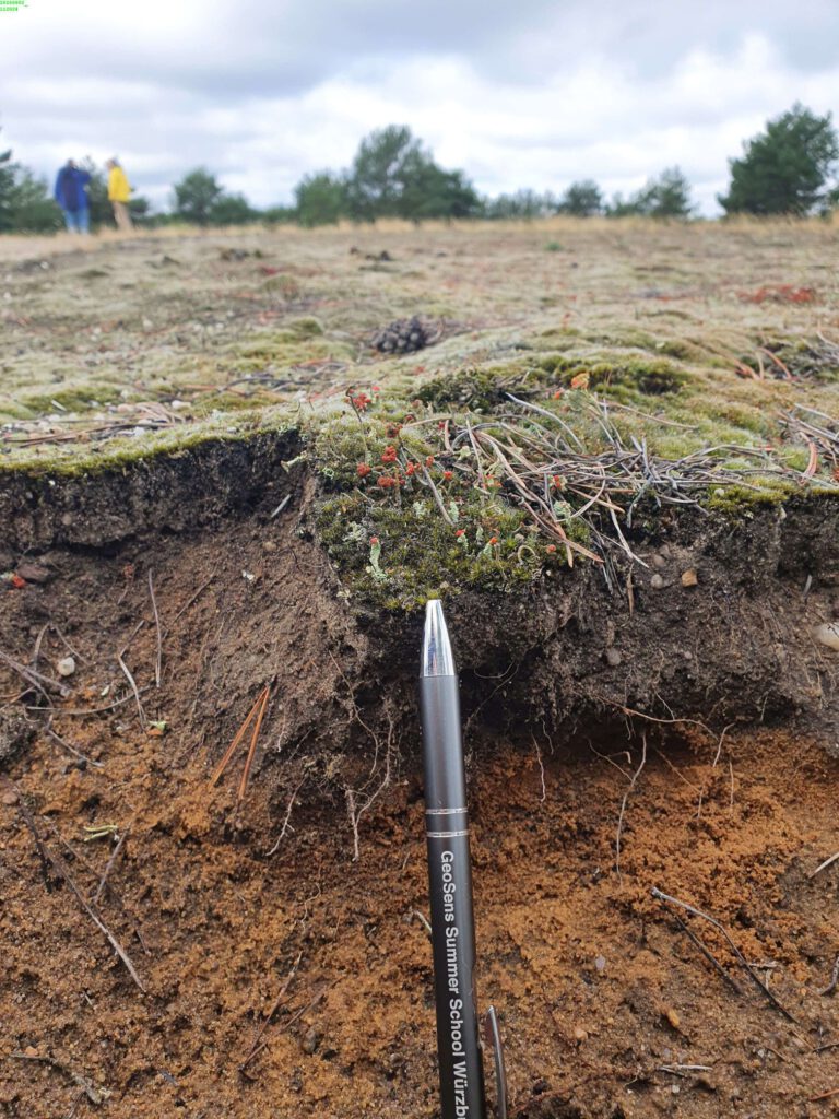
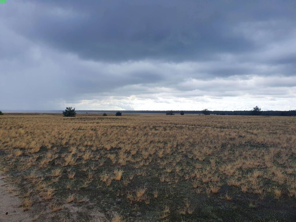
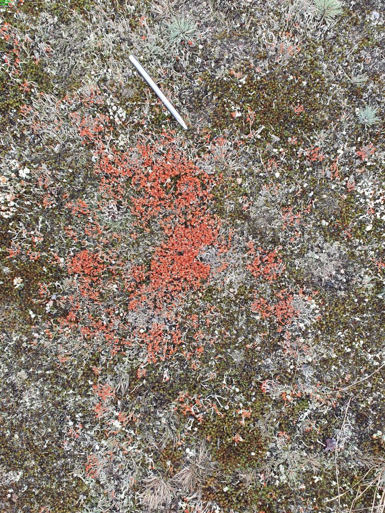
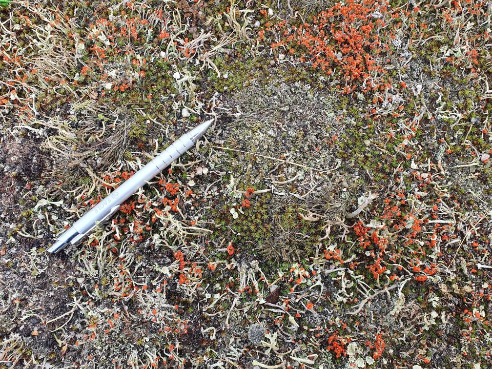
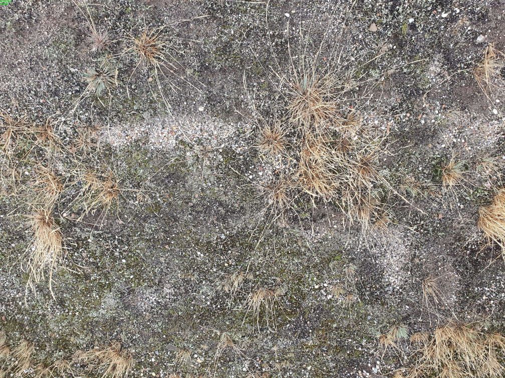
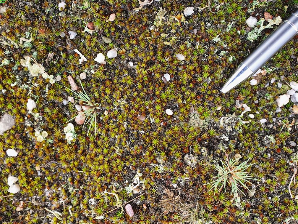
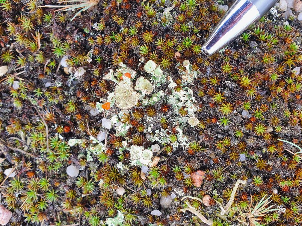
Impressions from the visit of the Lieberoser Heath at the beginning of September 2020. Pictures by S. Schönbrodt-Stitt.
From the thesis abstract
“Biological soil crusts […] are a thin microbiological layer, developing under very unfavorable conditions. This includes regions, where no higher plants are able to settle due to low precipitation rates and high temperatures or areas with intense human impact and frequent disturbance. […] The ecological functions of biocrusts are often underestimated as they are influencing water availability, limiting soil erosion, and affecting local and global climate by controlling air quality. They are also highly contributing to global soil carbon and nitrogen stock and atmospheric ozone production. In times of rapid global change, they are highly endangered, especially by the rising temperatures, as reduced soil moisture is exposing biocrusts to high evaporative stress. […]. The desert of Lieberose is a very unique area located in eastern Germany. It features desert- and steppe-like vegetation including biocrusts on inland sand dunes that did not originate from it being part of a dryland. Its vegetation was burnt down and frequently disturbed by being used as a tank firing range over the course of the last century. It is the largest biocrust-covered area in Germany. However, the distribution of biocrusts was never mapped as the area is contaminated with ammunition part of a highly protected natural conservation area since the withdrawing of military in the 1990s. […] This study marks the first time, that biocrusts are analyzed using remote sensing beyond drylands and in Germany. Its main goal is to detect the response biocrusts show to rainfall events by increasing their photosynthetic activity on a temporal and spatial scale. As comparable studies only have been conducted in said drylands, it is now evaluated how good the methods can be adapted to Germany. Hereby, a full workflow is provided featuring Sentinel data acquisition and preprocessing as well as the analysis based on derived spectral indices, topographic information, and climate data. […] This study also illustrates the high value of the Lieberoser desert towards biocrust research and shows possible survey capabilities based on the results that can be conducted in the future.” (Thesis Jakob Rieser)


