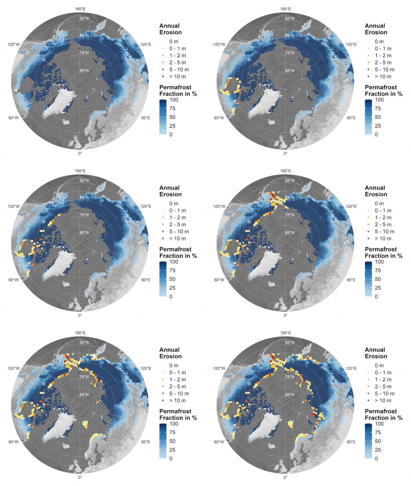
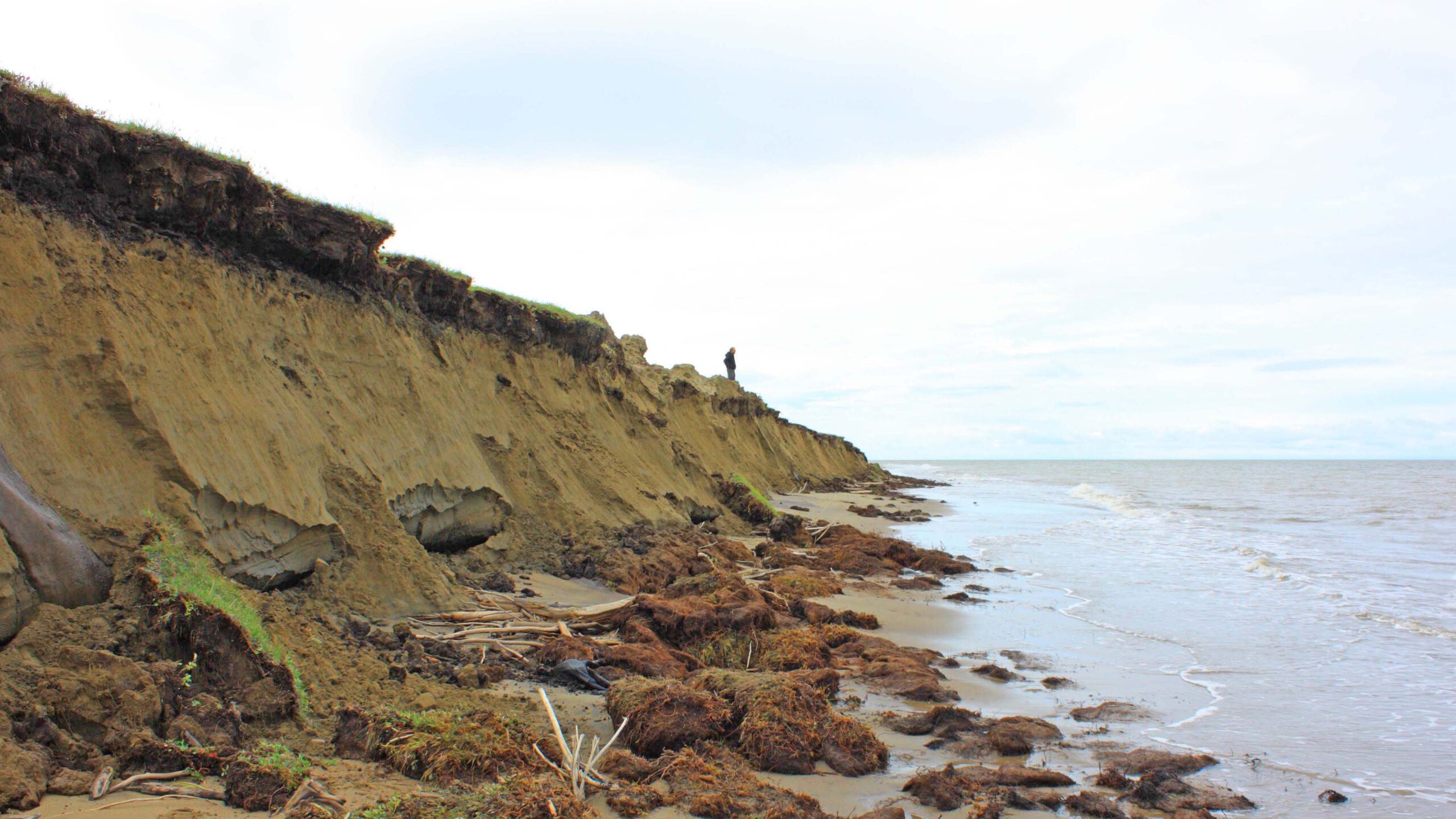
I’m happy to share my newest publication on quantifying circum-Arctic erosion rates at high spatial resolution and on an annual basis via Synthetic Apertaure RADAR data, deep learning, and change vector analysis. Co-authored by Andreas Dietz, Tobias Ullmann and Claudia Künzer.

From the abstract: This study demonstrates a circum-Arctic monitoring framework for quantifying annual change of permafrost-affected coasts at a spatial resolution of 10 m. Frequent cloud coverage and challenging lighting conditions, including polar night, limit the usability of optical data in Arctic regions. For this reason, Synthetic Aperture RADAR (SAR) data in the form of annual median and standard deviation (sd) Sentinel-1 (S1) backscatter images covering the months June–September for the years 2017–2021 were computed. Annual composites for the year 2020 were hereby utilized as input for the generation of a high-quality coastline product via a Deep Learning (DL) workflow, covering 161,600 km of the Arctic coastline. The previously computed annual S1 composites for the years 2017 and 2021 were employed as input data for the Change Vector Analysis (CVA)-based coastal change investigation. The generated DL coastline product served hereby as a reference. Maximum erosion rates of up to 67 m per year could be observed based on 400 m coastline segments. Overall highest average annual erosion can be reported for the United States (Alaska) with 0.75 m per year, followed by Russia with 0.62 m per year. Out of all seas covered in this study, the Beaufort Sea featured the overall strongest average annual coastal erosion of 1.12 m. Several quality layers are provided for both the DL coastline product and the CVA-based coastal change analysis to assess the applicability and accuracy of the output products. The predicted coastal change rates show good agreement with findings published in previous literature. The proposed methods and data may act as a valuable tool for future analysis of permafrost loss and carbon emissions in Arctic coastal environments.
Access the full article: Philipp, M.; Dietz, A.; Ullmann, T.; Kuenzer, C. A Circum-Arctic Monitoring Framework for Quantifying Annual Erosion Rates of Permafrost Coasts. Remote Sens. 2023, 15, 818. https://doi.org/10.3390/rs15030818


