new publication: Measuring rural settlement expansion in Uzbekistan using remote sensing to support spatial planning

new publication: Measuring rural settlement expansion in Uzbekistan using remote sensing to support spatial planning

April 29, 2015

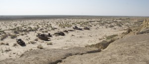
Aral Sea / ship graveyard in Muinak, Uzbekistan

Photo by C. Conrad

In this publication we focused on methods to measure the outcome of population growth in rural Uzbekistan. Bi-temporal change detection based on 2.5m SPOT data gave insights into the competition for valuable land resources.


Conrad, C., Rudloff, M., Abdullaev, I., Thiel, M., Löw, F., Lamers, J.P.A., Measuring rural settlement expansion in Uzbekistan using remote sensing to support spatial planning, Applied Geography, Volume 62, August 2015, Pages 29–43. http://www.sciencedirect.com/science/article/pii/S0143622815000831

you may also like:

Guided tour of the Märkisches Viertel in Berlin

Guided tour of the Märkisches Viertel in Berlin

Guided tour of the Märkisches Viertel in Berlin   As part of our research work on large housing estates, we had the opportunity to take part in a guided tour through the Märkisches Viertel in Berlin on 17.04.2024. The Märkisches Viertel has around 17,000...

preparation of official CAIDAS opening

preparation of official CAIDAS opening

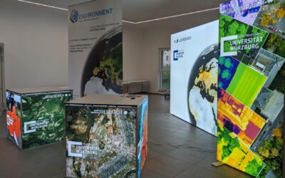
On Friday the CAIDAS center will be officially opened and we are part of this great AI initiative at the University of Würzburg. For this event all members prepare specific showcases and info walls - we decided to show our Earth Observation research using interactive...