Online course on Agricultural Land Use Mapping

Online course on Agricultural Land Use Mapping

May 10, 2022

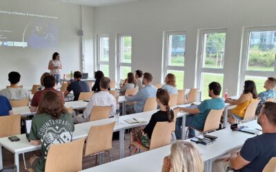
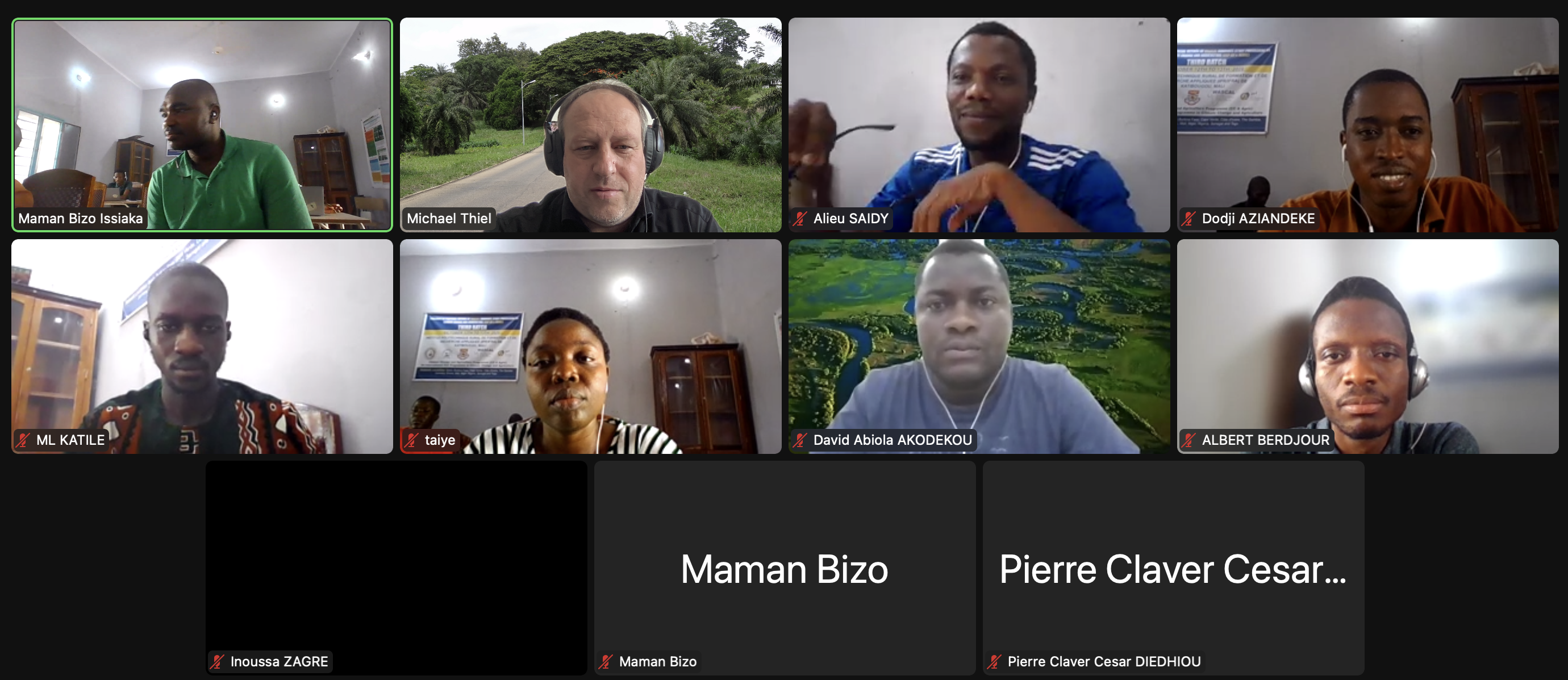
Last week our colleague Michael Thiel gave an online course on Agricultural Land Use Mapping at WASCALs Doctoral Studies Program on Climate Change and Agriculture, which is based on the IRP/IFRA Campus in Katibougou, Mali.

The course content included theories on Remote Sensing and practical exercises on field data collection and map creation.

you may also like:

Guided tour of the Märkisches Viertel in Berlin

Guided tour of the Märkisches Viertel in Berlin

Guided tour of the Märkisches Viertel in Berlin   As part of our research work on large housing estates, we had the opportunity to take part in a guided tour through the Märkisches Viertel in Berlin on 17.04.2024. The Märkisches Viertel has around 17,000...

preparation of official CAIDAS opening

preparation of official CAIDAS opening

On Friday the CAIDAS center will be officially opened and we are part of this great AI initiative at the University of Würzburg. For this event all members prepare specific showcases and info walls - we decided to show our Earth Observation research using interactive...