publication on Tropospheric NO2: Explorative analyses of spatial variability and impact factors

publication on Tropospheric NO2: Explorative analyses of spatial variability and impact factors

January 4, 2022

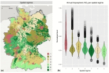
A new publication by Hannes Taubenböck and his team is available online about “Tropospheric NO2: Explorative analyses of spatial variability and impact factors”, published in Remote Sensing of Environment. From the abstract: “In order to study spatial patterns of nitrogen dioxide (NO2) and its impact factors, consistent and area-wide information is essential. With TROPOMI aboard Sentinel-5 Precursor (S-5P), daily tropospheric NO2 observations have become available with an unprecedented spatial resolution of 3.5 km × 5.5 km. However, a systematic study of tropospheric NO2 patterns on a national scale and with preserved high spatial resolution is still pending. In addition, the increasing availability of area-wide, high-resolution data for large study areas presents new challenges for analyzing impact factors, such as spatial heterogeneity. Based on the annual mean tropospheric NO2 of Germany (September 2018 to August 2019) resampled to a 1 km × 1 km spatial resolution, the subject of this study was twofold: on the one hand a hot and cold spot analysis was performed, on the other hand, non-meteorological factors influencing tropospheric NO2 were investigated within spatial regimes of different land use / land cover (LU/LC) compositions. A total of 24 national hot spots were identified with the majority located in urban areas. The spatial regime-based impact factor analysis revealed that most correlation coefficients between LU/LC and tropospheric NO2 are highly dependent on the location. Some other factors, however, were found to have a strong impact on tropospheric NO2 independent of the location (impervious surfaces, population and road density). Although this study is based on tropospheric column data, and meteorology has not been considered yet, the analyses demonstrate the contribution of Sentinel-5P/TROPOMI data to a better understanding of the high-dimensional and complex relationship between NO2, the atmosphere and the composition of the land surface and its use.”

Read the full article at https://www.sciencedirect.com/science/article/abs/pii/S0034425721005599?via%3Dihub

you may also like:

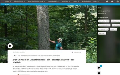
Our research site and project covered by BR

Our research site and project covered by BR

The University forest at Sailershausen is a unique forest owned by the University of Wuerzburg. It comes with a high diversity of trees and most important is part of various research projects. We conducted various UAS/UAV/drone flights with Lidar, multispectral and...

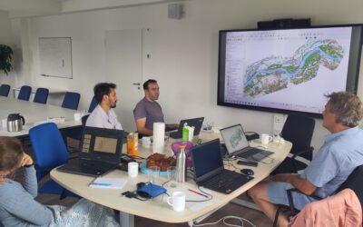
Meeting of the FluBig Project Team

Meeting of the FluBig Project Team

During the last two days, the team of the FluBig project (remote-sensing.org/new-dfg-project-on-fluvial-research/) met at the EORC for discussing the ongoing work on fluvial biogeomorphology. After returning from a successful field expedition to Kyrgyzstan a couple of...

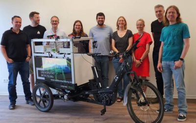
‘Super Test Site Würzburg’ project meeting

‘Super Test Site Würzburg’ project meeting

After the successful "Super Test Site Würzburg" measurement campaign in June (please see here: https://remote-sensing.org/super-test-site-wurzburg-from-the-idea-to-realization/ ), the core team from the University of Würzburg, the Karlsruhe Institute of Technology,...

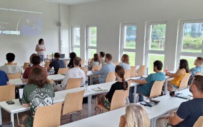
EORC Talk: Geolingual Studies: A New Research Direction

EORC Talk: Geolingual Studies: A New Research Direction

On July 19th, Lisa Lehnen and Richard Lemoine Rodríguez, two postdoctoral researchers of the Geolingual Studies project, gave an inspiring presentation at the EORC talk series.   In the talk titled "Geolingual Studies – a new research direction", they...

EO support for UrbanPArt field work

EO support for UrbanPArt field work

From May to September, Karla Wenner, a PhD student at the Juniorprofessorship for Applied Biodiversity Science, will be sampling urban green spaces and semi-natural grasslands in Würzburg as part of the UrbanPArt project. Our cargo bikes support the research project...

Cinematic drone shots

Cinematic drone shots

We spend quite some time in the field conducting field work, from lidar measurements to vegetation samples in order to correlate it with remote sensing data to answer various research questions concerning global change. Field work is always a 24/7 work load and...