R package for field map creation

R package for field map creation

m

October 30, 2019

A new R package was designed by Marius Philipp for the automatized generation of map booklet pdfs based on user defined ggplots.

This package allows to create a map of your study area and a defined number/resolution of smaller maps which can then be used for field work analysis.

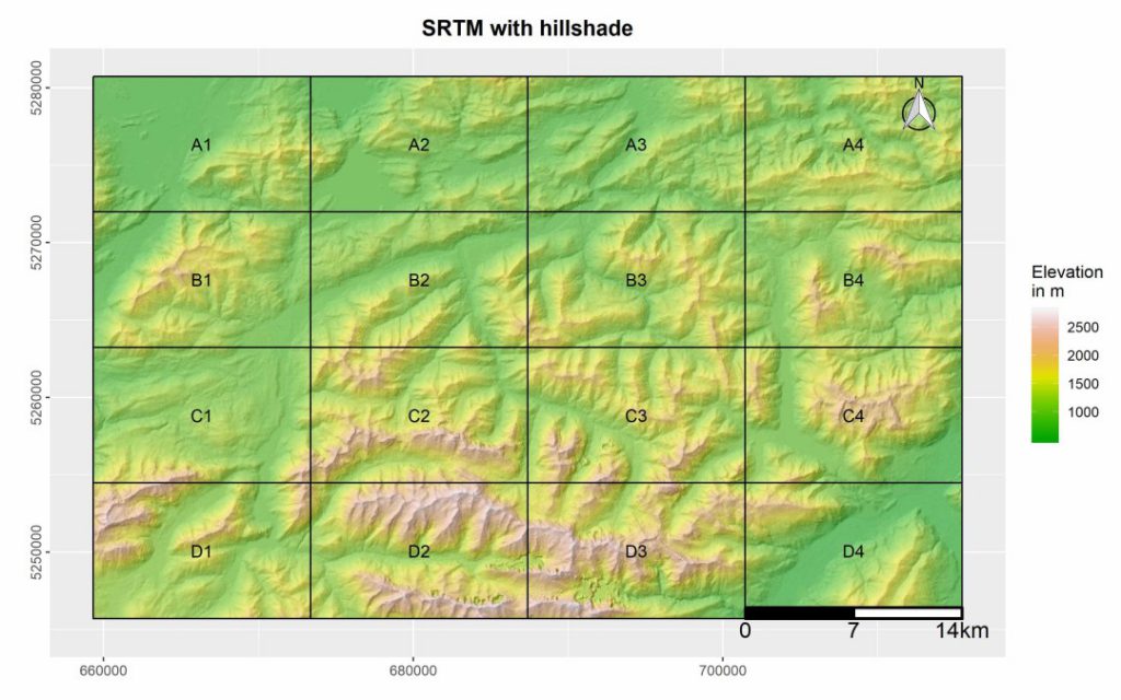
The package contains currently two functions, one of which creates a fishnet polygon from the extent of the user input data. The second function uses this fishnet polygon in combination with a user defined ggplot map for the creation of a map booklet, including an overview map, as well as a submap for each tile.

more details here: https://github.com/MBalthasar/MapBooklet

you may also like:

Guided tour of the Märkisches Viertel in Berlin

Guided tour of the Märkisches Viertel in Berlin

Guided tour of the Märkisches Viertel in Berlin   As part of our research work on large housing estates, we had the opportunity to take part in a guided tour through the Märkisches Viertel in Berlin on 17.04.2024. The Märkisches Viertel has around 17,000...

preparation of official CAIDAS opening

preparation of official CAIDAS opening

On Friday the CAIDAS center will be officially opened and we are part of this great AI initiative at the University of Würzburg. For this event all members prepare specific showcases and info walls - we decided to show our Earth Observation research using interactive...