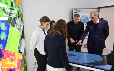
We welcome Clement and Mensah Yaw in Würzburg at our Department. Both visit us the first time in order to work on their PhD and gain new expertise with colleagues from our university on Remote Sensing time series analysis. Both are students of WASCALs Graduate School on Climate Change and Land Use at the KNUST, Kumasi (Ghana).
 Clement Nyamekye, is visiting researcher at the Department of Remote Sensing at the University of Würzburg for six months a part of the scientific visit to help analyze and process his data. The six month visit is split into two with the first visit from 9th January, 2018 to 29th March, 2018 and the second visit at the later part of the year.
His research topic is Assessing the effect of erosion measures on vegetation cover in Burkina Faso using coarse scale images (Modis NDVI data). He graduated with Master of Science degree in Geomatic Engineering in 2009 at KNUST. His thesis focused on Classification by Time series of NDVI for assessment of land cover change in Ghana using NOAA/AVHRR data. He also pursued second Master of Science in Environmental and land planning Engineering with specialty in Geomatics from Politecnico di Milano, Italy with thesis on Amplitude versus Offset Analysis (AVO) using seismic data.
 Mensah aw Asare graduated 2011 with Master of Science in Geomatic Engineering with specialization in GIS and Remote Sensing at the Kwame Nkrumah University of Science and Technology (KNUST), Kumasi-Ghana. His research topic was ‘River Inundation and Hazard Mapping – a case study of Susan River, Kumasi-Ghana’. It mainly entailed integration of GIS and Remote sensing data with a hydrologic model for creation of flood hazard map along the Susan River. From 2011 to 2013 he worked as a GIS technician at Clarke Sustainable Resources Development Limited Ghana (a member of Triton Logging Incorporated, Canada). The mandate of this organization was to harvest submerged timber in Lake Volta, Ghana. He coupled as a GIS database manager and a hydrographer, responsible for survey and mapping of submerged trees to be harvested. In August, 2013, he was appointed as an Assistant Lecturer at the Department of Geomatic Engineering, KNUST and was promoted to a Lecturer in 2016.
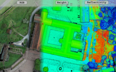
His PhD research is on ‘Evaluating the effect of soil erosion control on vegetation cover in South-West Burkina Faso – a fine scale remote sensing perspective in the Ioba Province’. My research entails analysis of NDVI time series and the use of UAV for monitoring plant height and density in erosion controlled and non-erosion controlled areas.