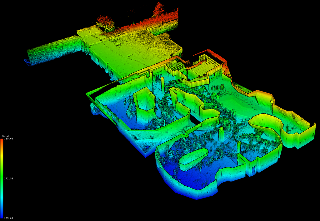
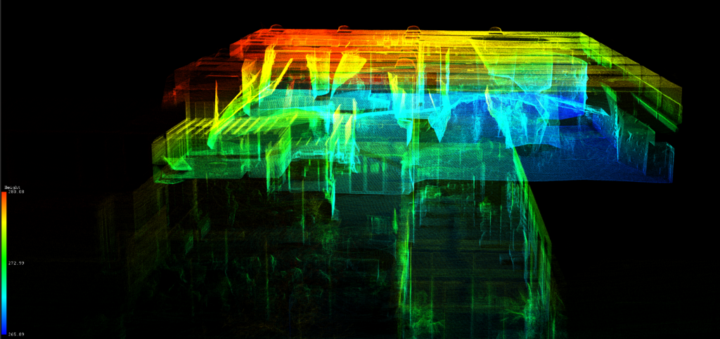
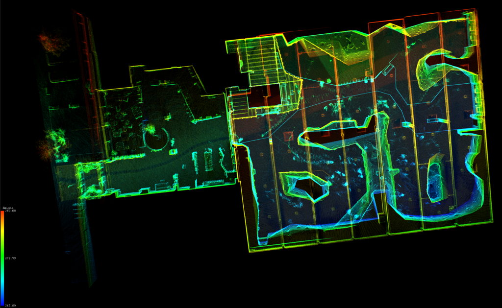
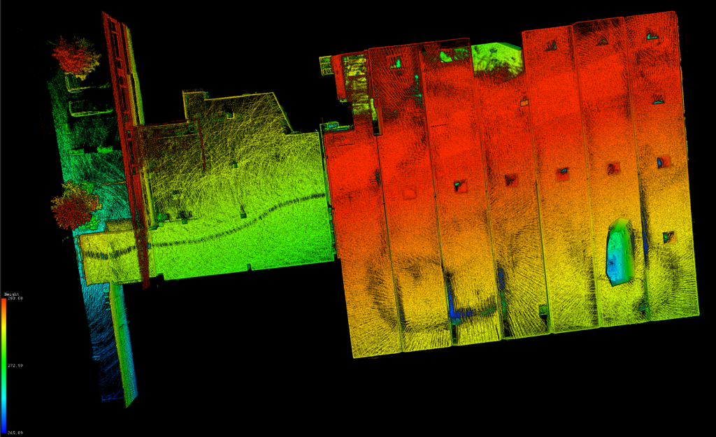
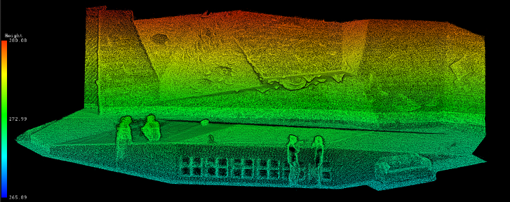
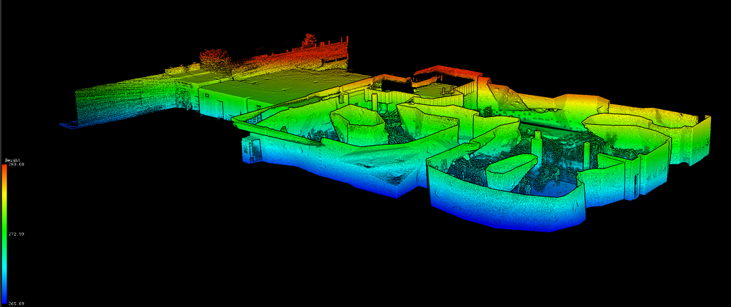
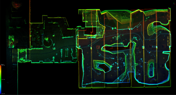
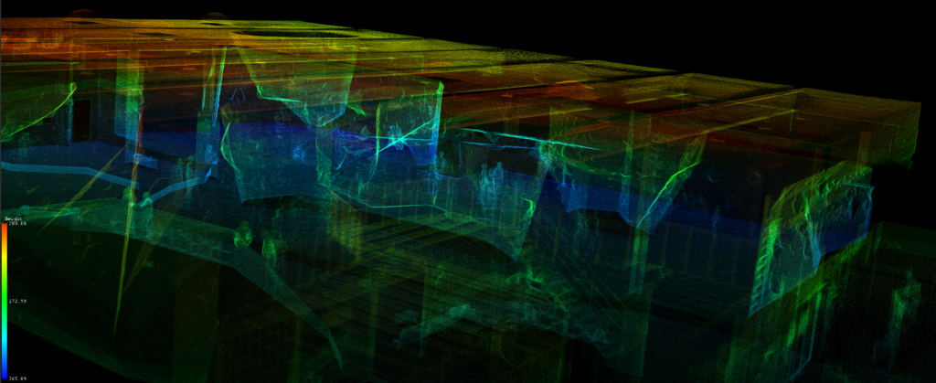
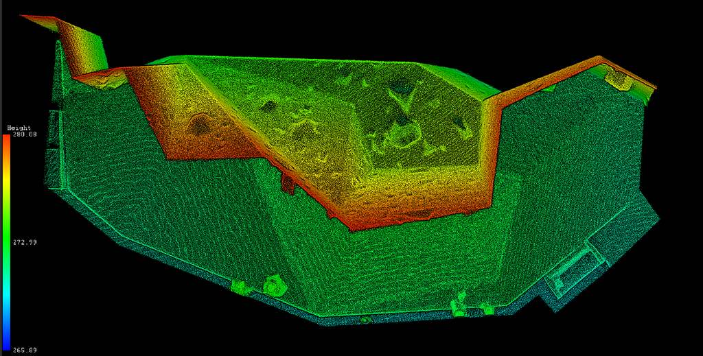
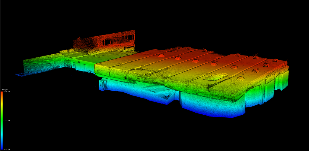
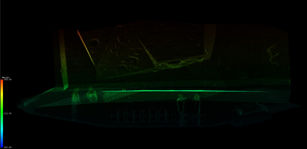
For our last year’s work outing in the bouldering hall, we decided to take the opportunity and test our Lidar BackPack system for mapping vertical climbing structures for a planned project. The preliminary results show promising opportunities to understand highly detailed vertical structures. The image shows the top view of the building, including the entrance of the building on the left side and the main bouldering hall on the right side. The colours in this image represent the different heights. Some additional captures of the dataset show part of one of the climbing walls located in the upper part of the hall. This capture includes four of our colleagues taking some time off in-between climbing routes.