New Phd student Itohan-Osa Abu

New Phd student Itohan-Osa Abu

October 28, 2020

In September 2020, Itohan-Osa Abu joined WASCAL-DE-Coop at the Department of Remote Sensing as a PhD student in the MigraWare project. Her work focuses on monitoring the migration of people as well as causes and effects of migration in Nigeria, Ghana and Burkina Faso.
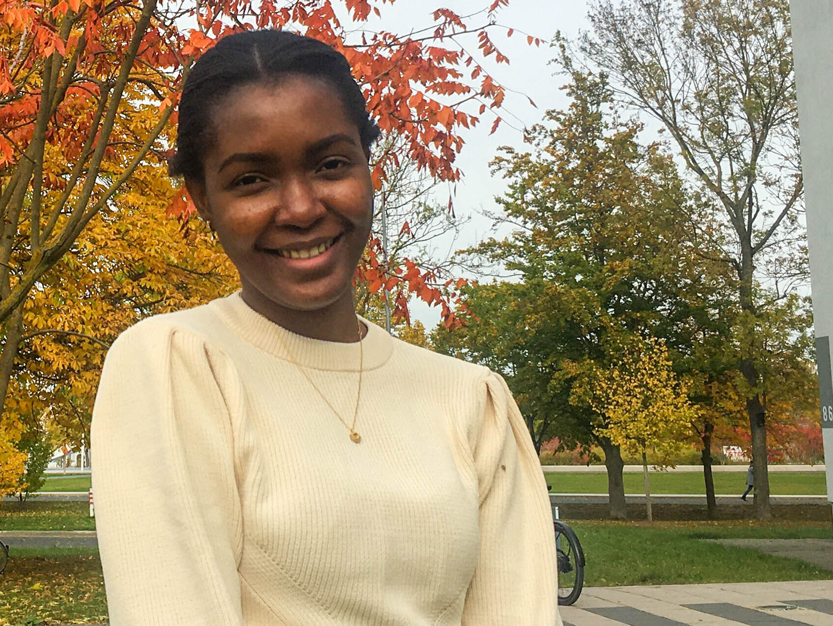
Itohan-Osa studied Geology at the University of Benin, Nigeria, with a focus on Environmental and Engineering Geology. Further, she holds a Master’s degree in Applied Earth Observation and GeoAnalysis of the Living Environment, which she completed within the EAGLE graduate program at the Department of Remote Sensing at the University of Würzburg. As part of her degree and trainee at The Joint Research Centre (JRC) in Ispra, she worked on the detection of cocoa plantages in Ghana and Ivory Coast.

Itohan-Osa is interested in the synergistic use of radar and optical images, African topics and EU-AU partnerships.

you may also like:

Urbanization in China – A review of 12 years of research

Urbanization in China – A review of 12 years of research

The world has experienced a tremendous wave of urbanization. In 1975, 37.7% of the world's population lived in urban areas; 50 years later in 2025, this figure has risen to 58.3%. In China, in particular, the dynamics were even more dramatic: in 1975, only 17.4% of...

End of the Year & New Year’s Eve Greetings

End of the Year & New Year’s Eve Greetings

As we approach the end of 2024, we take a moment to reflect on the various great collaborations and project goals we have achieved throughout the year. We extend our heartfelt thanks to our colleagues, collaborators, and partners for your collaboration, contributions,...

EAGLE Daria did her internship in Bergen

EAGLE Daria did her internship in Bergen

Our EAGLE student Daria recently wrapped up an internship at the University of Bergen in the Remote Sensing research group. With the support of her supervisor, Dr. Benjamin Abreu Robson, she got to work on the Jostedalsbreen glacier using drone and satellite data. Her...