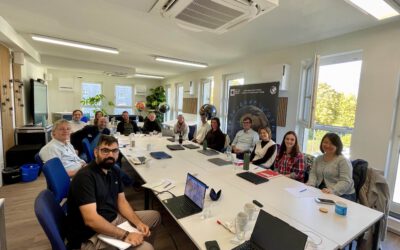
Do you want to become an Earth Observation scientist, working with a variety of sensors, techniques and other ways to monitor our planet? Apply before May 15th to our M.Sc. program and join our international group of EAGLE students.
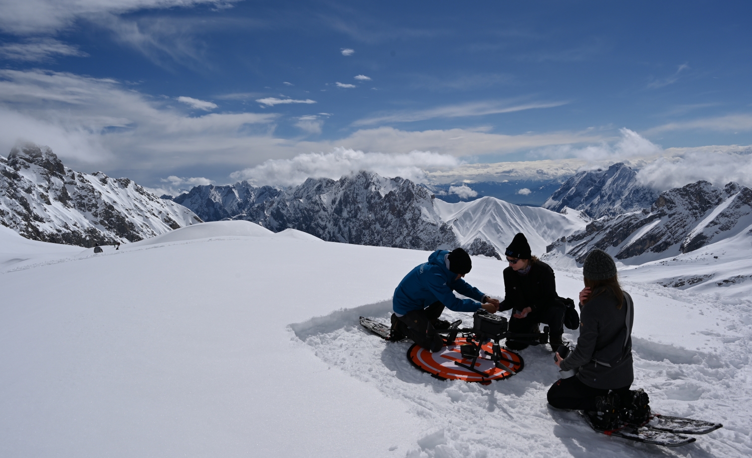
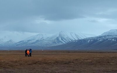
You will learn how to apply space-borne sensors such as Sentinel-1 or Sentinel-2 as well as UAS based sensors for small scale mapping of environmental features in agricultural landscapes, high mountain ecosystems or arctic environments.
Apply your remote sensing skills in various fields, from geography to conservation, collaborate with farmers, city planner, biologists or animal-environment scientists on the application of Earth Observation.
Last week, Sebastian Buchelt and
Jakob Schwalb-Willmann
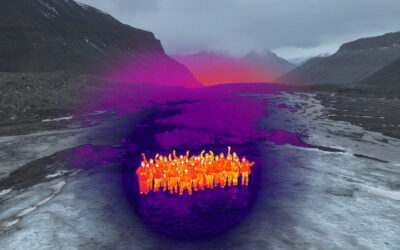
traveled to Longyearbyen, Svalbard, for a teaching stay on the high-arctic island hosted by the University Centre in Svalbard (UNIS). Sebastian taught a three-day block course on...
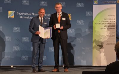
Big news for the whole EORC family: Prof. Stefan Dech has received the Bavarian State Medal for Services to the Environment, one of the state’s official honors for environmental achievement. In the laudatio, the Bavarian State Ministry for the Environment and Consumer...
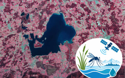
In October 2026, the EORC launched AQUAMOS: “AQUAtic Breeding Habitats and Early MOSquito Warning Systems Using Remote Sensing and Environmental Monitoring”. The pilot project aims to develop a monitoring and early-warning approach for the formation of temporary water...
On October 15, 2026, researchers from the EO4CAM (Earth
Observation Laboratory for Climate Adaptation and Mitigation)
project gathered in Würzburg for a dedicated biodiversity meeting.
The meeting brought together researchers working on...
It started a few years ago, when Mirjana Bevanda built up a collaboration with partners at UNIS, the University Centre in Svalbard. Jakob Schwalb-Willmann joined soon after, and today a growing group from EORC heads north to teach there, including Antonio...
A new EAGLE generation means new faces, new ideas, and the start of another journey in Earth Observation. And what better way to kick things off than with a relaxed evening at the pub? Our first social event brought together the new students, older EAGLE generations,...
bzgl. Art. 50 Verordnung (EU) 2024/1689 (AI Act):
Überwiegend werden eigene originäre Texte und Bilder des EORC genutzt, jedoch sind einige Inhalte von blog post Texten teilweise mit Hilfe von KI überarbeitet worden und einige Bilder sind ganz mit KI erstellt, die jedoch deutlich keine photorealistische Darstellungen abbilden. Aussnahmen sind KI generierte fernerkundliche Datensätze, die explizit für Forschungszwecke mit KI erstellt wurden, hier wird aber durch den assoziierten Text der wissenschaftliche Grund der KI generierten Bilder erläutert.
We use cookies to ensure that we give you the best experience on our website. If you continue to use this site we will assume that you are happy with it.