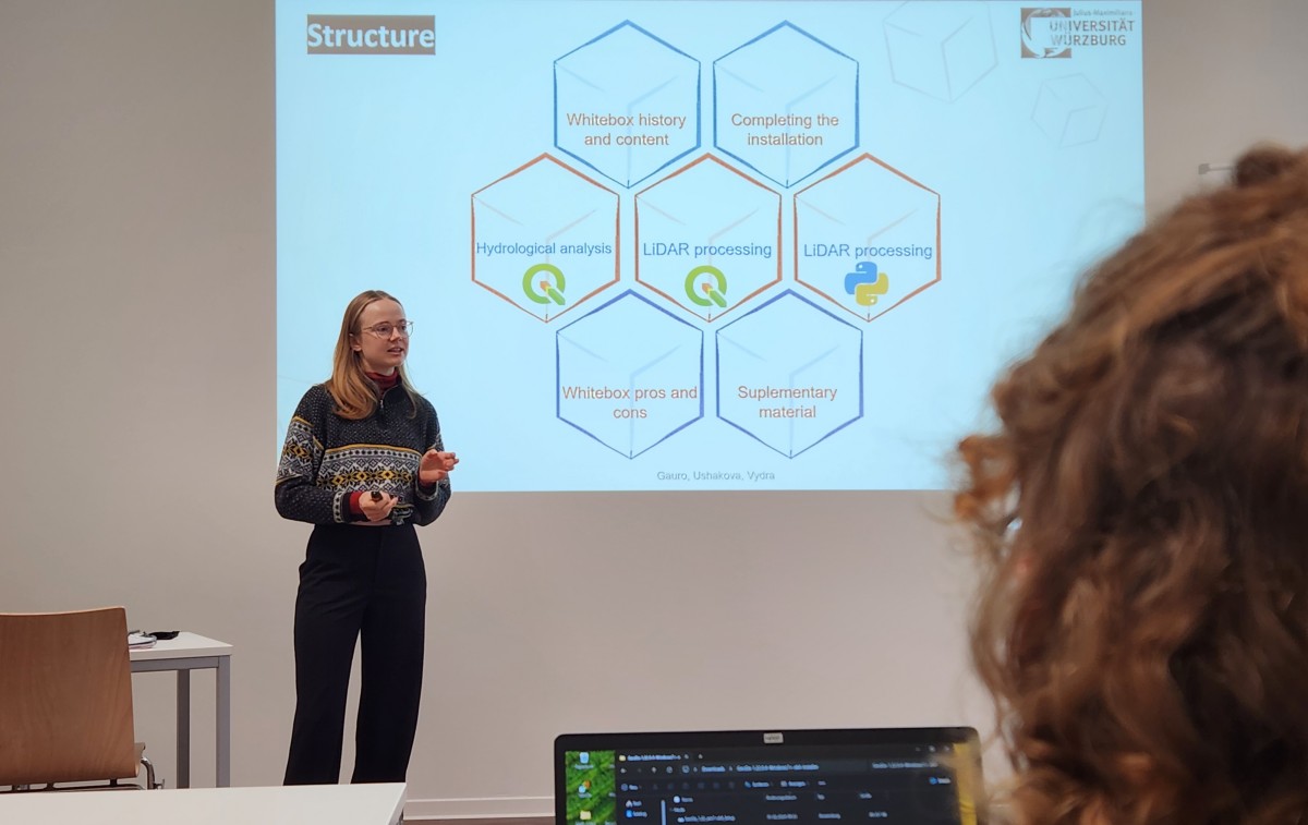
Today the whitebox software plus the python interface is introduced and nicely fits into the overarching framework of our EAGLE courses with Python programming or Lidar analysis. It provides additional analytical back-end functionality for GIS systems like QGIS. Due to the fact that we trained QGIS for various spatial tasks in the larger months, the use of whitebox functions with QGIS is easy and straight-forward.
Project EO4CAM Supports Municipal Adaptation to Heavy Rainfall Events
How can municipalities effectively reduce the impacts of increasingly frequent heavy rainfall events? This question brought together local and regional stakeholders on 24 February 2026 at Wartmannsroth town hall in the district of Bad Kissingen, Germany. Participants...


