you may also like:
🌍 Earth Observation News: Wrapping Up 2025, Looking Ahead to 2026
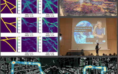
As 2025 draws to a close and 2026 begins, our Earth Observation Research Cluser News Blog on Remote-Sensing.org offers a rich overview of a year defined by scientific diversity, collaboration, and real-world impact. From peer-reviewed publications and innovative...
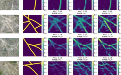
New publication: Mapping animal paths using drones and deep learning
We're pleased to share our latest open-access research on automatically detecting animal paths in Africa's Kruger National Park using drone imagery and deep learning. Published in Ecological Informatics, our study demonstrates how deep learning can be employed to...
A Thank You for a Remarkable 2025 🌍
As 2025 draws to a close, we at the Earth Observation Research Cluster (EORC) would like to take a moment to reflect on an inspiring and productive year—and to say thank you to everyone who made it possible - from EORC staff, EAGLE student to our collaborators. This...
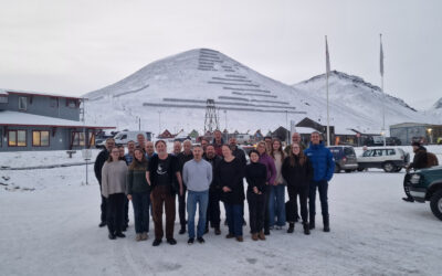
EORC participates in Svalbard vegetation and biomass monitoring workshop
Recently, EORC researches and partners participated in the SvalbardMonitoring workshop, a four-day event organized by the Norwegian Institute for Nature Research (NINA) in Longyearbyen, Svalbard. The workshop focused on Arctic vegetation and biomass research, with a...
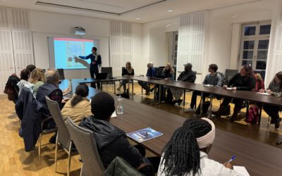
Exploring Innovative Science Communication: A Visit to Würzburg City Hall
As part of our seminar “Perspectives on Innovative Science Communication”, in which we are developing an exhibition on young scientists and future-oriented topics in Würzburg and its partner city Mwanza in Tanzania, we recently visited Würzburg City Hall. City...
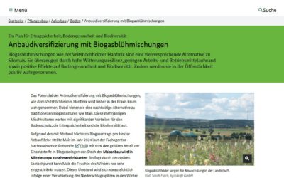
Remote sensing insights into biogas flowering mixtures
Perennial wildflower mixtures are gaining importance as an alternative to maize in biogas production. As highlighted in the praxis-agrar article on crop diversification with biogas flowering mixtures, they combine agricultural use with clear ecological benefits....

