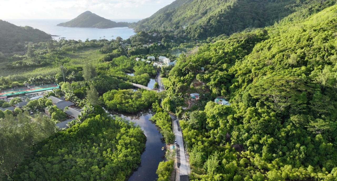
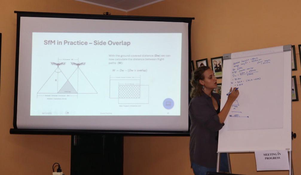
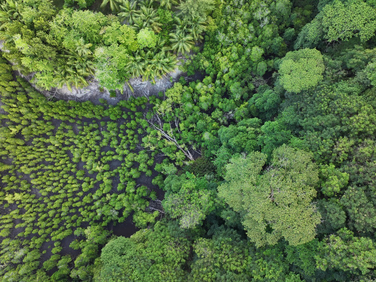
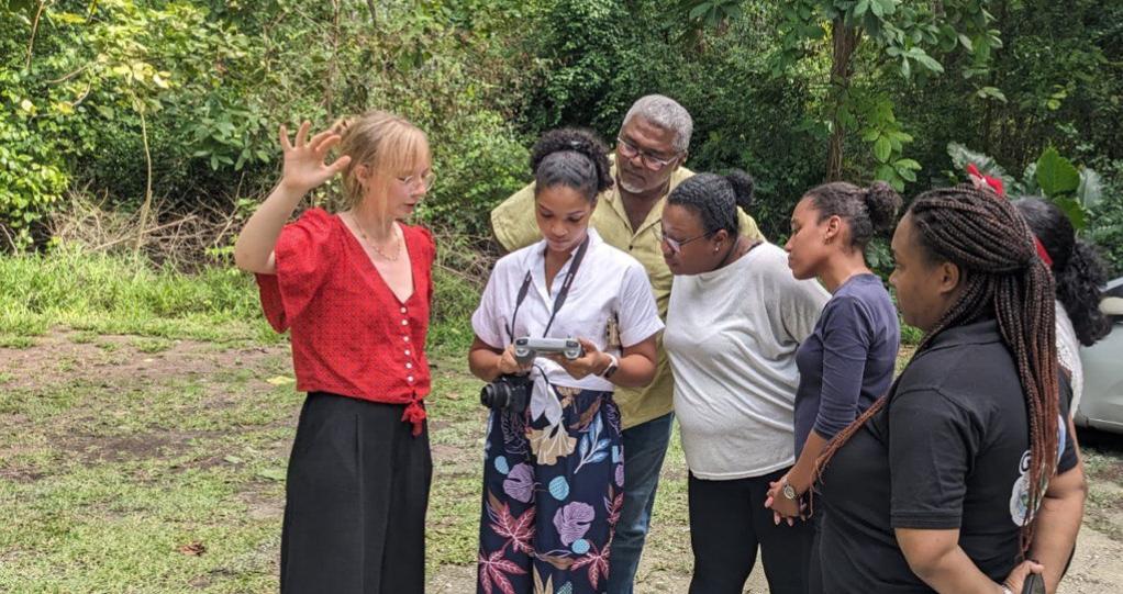
After completing their internship in South Africa, our 8th generation EAGLES, Marlene Bauer and Anna Bischof, continued their journey to the Seychelles. Here, they are conducting their InnoLab in collaboration with the local NGO, Nature Seychelles. The two are assisting the NGO in establishing drone operations to monitor the local mangroves. Since their arrival, they have flown drones over numerous wetlands on the main island, Mahé, and have prepared a drone training program for government officials from the Department of Agriculture. They will repeat this training on Cousin Island, known for its abundant birdlife and as an important breeding ground for turtles. On Cousin, local conservationists will use drones to help monitor these turtles.
Soon, Marlene and Anna will return to Germany, where they will continue their InnoLab under the guidance of PhD student Antonio Castañeda-Gómez and the supervision of team leader Dr. Mirjana Bevanda. The InnoLab will progress with the analysis of the collected UAS data and its integration with satellite data to further assist in the local monitoring of mangroves. Until then, they are enjoying the island’s stunning natural beauty and are eagerly anticipating next week, when they will take a well-deserved vacation to explore some of the world’s most beautiful beaches.
Soon, Marlene and Anna will return to Germany, where they will continue their InnoLab under the guidance of PhD student Antonio Castañeda-Gómez and the supervision of team leader Dr. Mirjana Bevanda. The InnoLab will progress with the analysis of the collected UAS data and its integration with satellite data to further assist in the local monitoring of mangroves. Until then, they are enjoying the island’s stunning natural beauty and are eagerly anticipating next week, when they will take a well-deserved vacation to explore some of the world’s most beautiful beaches.