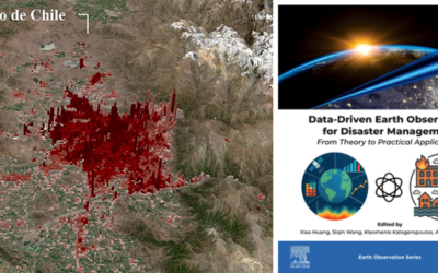
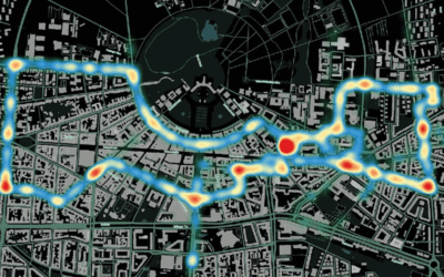
Our colleagues from DLR provided long-term Land Surface Temperature (LST) data for an interactive tool in the Zeit Magazine which was recently published online https://www.zeit.de/zeit-magazin/2025-06/stadtteile-grossstaedte-wohnen-deutschland-lebensqualitaet
The tool allows the comparison of 2,838 city districts in the 79 large cities (i.e. with population > 100,000 inhabitants) in Germany. It covers the following five categories:
- Economy and politics (e.g. rent, real estate prices, salary, creative professions)
- Environment and climate (e.g. air quality, heat exposure, population density, nature)
- Utilities and leisure (e.g. playgrounds, primary schools, supermarkets, restaurants, nightlife)
- Infrastructure and transport (e.g. internet access, traffic accidents, local and long-distance transport)
- Demographics and health (e.g. proportion of infants and seniors, population growth, healthcare, traffic noise)
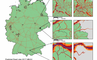
DLR provided data from the Landsat mission, covering a long-term time period from 2013 to 2024. Acquisitions from the summer months were prepared according to Leichtle et al. (2023).
Related studies on urban heat exposure from DLR for further reading:
- Leichtle et al. (2023): Quantifying urban heat exposure at fine scale – modeling outdoor and indoor temperatures using citizen science and VHR remote sensing. Urban Climate 49, 101522. https://doi.org/10.1016/j.uclim.2023.101522
- Massaro et al. (2023): Spatially-optimized urban greening for reduction of population exposure to land surface temperature extremes. Nature Communications 14, 2903. https://doi.org/10.1038/s41467-023-38596-1
- Iungman et al. (2024): The impact of urban configuration types on urban heat islands, air pollution, CO2 emissions, and mortality in Europe: a data science approach. The Lancet Planetary Health 8(7), e489-e505. https://doi.org/10.1016/S2542-5196(24)00120-7