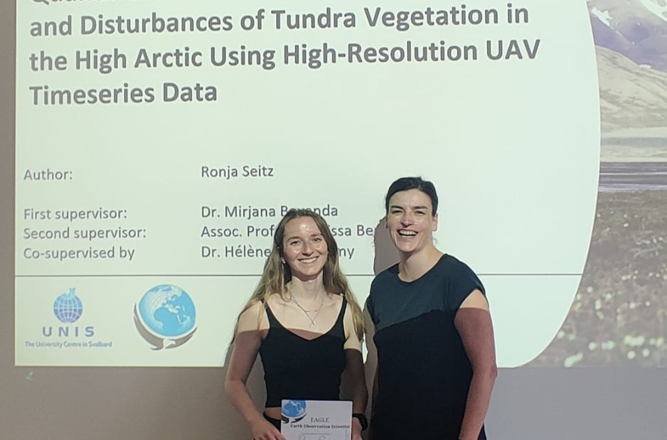
Successful MSc Thesis Defense by Ronja Seitz on UAV-Based Monitoring of High-Arctic Tundra Dynamics

Successful MSc Thesis Defense by Ronja Seitz on UAV-Based Monitoring of High-Arctic Tundra Dynamics

m

July 11, 2025

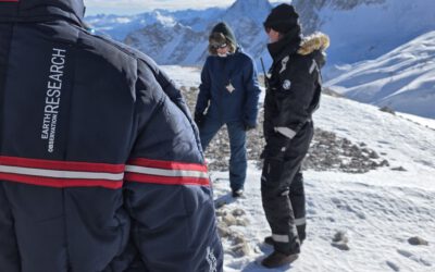
We warmly congratulate Ronja Seitz on the successful defense of her MSc thesis, which tackled one of the most pressing environmental challenges of our time: the rapid warming of the high Arctic. Her research focused on Svalbard, one of the fastest-warming regions on the planet, where climate change and human activities are increasingly stressing fragile tundra ecosystems.

In her thesis, Ronja developed and implemented an innovative UAV-based workflow to map and analyze vegetation disturbances—namely, winter basal ground icing damage and goose grubbing—as well as tundra vegetation types. Using a bi-weekly UAV time series, she trained a random forest classification model on a robust set of 23 features derived from RGB, multispectral (MS) imagery, digital surface models (DSM), and change metrics between image acquisition dates.

Her model achieved a remarkable overall accuracy of 89.33% (κ = 0.89), highlighting the effectiveness of time series data in detecting subtle ecological changes. The resulting 2 cm resolution land cover maps captured fine-scale vegetation dynamics with unprecedented detail. Notably, her analysis revealed delayed green-up in disturbed moss tundra areas, showcasing the added value of temporal data in understanding ecosystem responses.

This thesis not only demonstrates the power of UAV time series for ecological monitoring but also sets a precedent for high-resolution land cover mapping in rapidly changing Arctic environments.

Ronja was supervised by Dr. Mirjana Bevanda (EORC) and Prof. Dr. Larissa Beumer (UNIS). We wish her all the best for her future scientific endeavors!

you may also like:

🗺 Exploring Map Visualizations

🗺 Exploring Map Visualizations

Within our EAGLE courses our students have to learn a wide variety of skills - beside the fundamental earth observation theory and practice also skills like map creation is part of the curriculum. One of our students Ronja Seitz has created three visualizations guides...

Successful Completion of UNIversInternational Certificate

Successful Completion of UNIversInternational Certificate

In line with its internationalization strategy, the University of Würzburg supports administrative staff in their task of advising and supporting international students, guests, and academics. To this end, it has launched the "UNIversInternational" certificate...

The “Geolingual Studies” team visited the DLR EOC

The “Geolingual Studies” team visited the DLR EOC

The "Geolingual Studies" team of the University Würzburg visited the DLR-EOC on 3 and 4 July 2025. Geolingual Studies is an innovative area of research and teaching which takes a decisively applied linguistic approach and combines methodologies from linguistics,...

Course on Object-based image analysis

Course on Object-based image analysis

Dr. Michael Wurm from the German Aerospace Center (DLR) gave a class about Object-based image analysis (OBIA) using the eCognition Software for the EAGLE students. The course gives an insight into the theoretical basis of OBIA and using different datasets and tasks...

PhD defense by Thilo Erbertseder

PhD defense by Thilo Erbertseder

Thilo Erbertseder will defend his PhD thesis "Satellite-based analysis of NO2 air pollution: from global to urban aspect" on Wednesday 23rd of July at 3pm in John-Skilton Str. 4a, seminar room 1. All interested staff, students, family and friends are cordially invited...

Privacy Policy

Lehrstuhl für Fernerkundung & Lehrstuhl für Urbane Fernerkundung

Erdbeobachtung an der Universität Würzburg