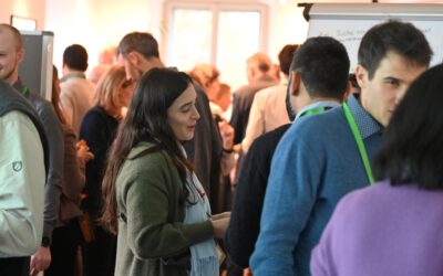
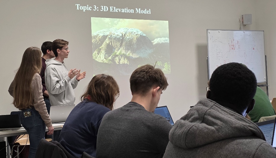
Our EAGLE M.Sc. students are in the middle of a series where they present scientific software for spatial work to each other. The idea is simple. Instead of just hearing about scientific spatial tools from a lecturer, the students pick one software, explore it and learn it on their own, that way they increase their skillset and confidence to deal with new environments, and show the rest of the cohort what it can do for earth observation and geoanalysis.
Blender is known from animation and game design but it can be also used in our domain. The session showed how to build a clean, good-looking globe from scratch, perfect for visualizing global Earth Observatoin datasets in a way a flat map just can’t. It also covered turning terrain data into 3D mountain scenes, the same way we can bringing city models to life, from building footprints to full urban landscapes.
Why does this matter for a remote sensing program? Because results only help if people understand them. A well-made 3D view of an alpine valley or a urban footprint on a global scale can say more in five seconds than a page of figures. And these are skills the students can use for papers, talks, teaching and outreach.
The series continues with more tools from across the geospatial world such as whitebox, GRASS, OTB, SAGA, or RustGIS. We’ll share more here as the students keep presenting.
Blender is known from animation and game design but it can be also used in our domain. The session showed how to build a clean, good-looking globe from scratch, perfect for visualizing global Earth Observatoin datasets in a way a flat map just can’t. It also covered turning terrain data into 3D mountain scenes, the same way we can bringing city models to life, from building footprints to full urban landscapes.
Why does this matter for a remote sensing program? Because results only help if people understand them. A well-made 3D view of an alpine valley or a urban footprint on a global scale can say more in five seconds than a page of figures. And these are skills the students can use for papers, talks, teaching and outreach.
The series continues with more tools from across the geospatial world such as whitebox, GRASS, OTB, SAGA, or RustGIS. We’ll share more here as the students keep presenting.