The Earth Observation Research Cluster (EORC) and the Earth Observation Center (EOC) of the German Aerospace Center (DLR) contributed also on the third and last day of the JURSE conference. JURSE gave us a great opportunity to present our research work, to generate new ideas, to network with the community and make new friends.
Today, Moritz Hertrich presented his work titled “Instance Segmentation of Informal Buildings in Medellín for Assessing Population at Risk from Landslides“. In this study he introduced a methodology to estimate the population at risk from landslides in informal areas by combining deep learning-based building detection on aerial remote sensing images with a population estimation.
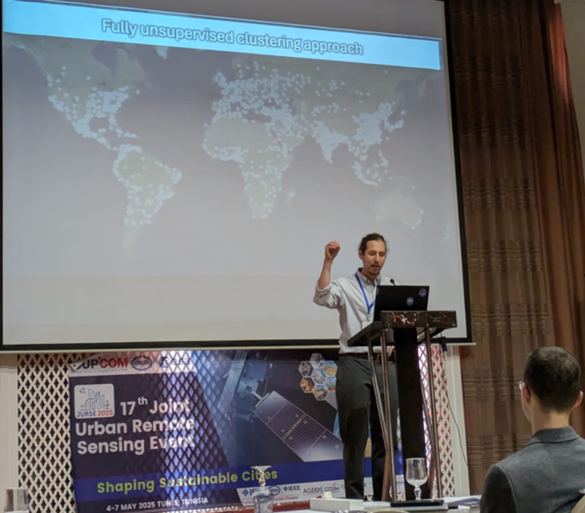
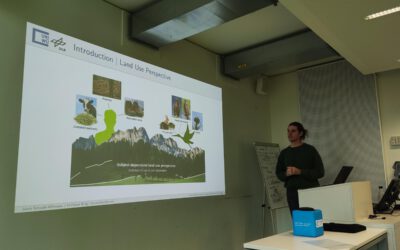
Henri Debray presented his work titled “The uneven distribution of morphological diversity: A global investigation on intra-urban forms” focusing on building up a global repository of intra-urban morphology types and on the analysis of their geographical distributions across the world. With this work, we hope to better understand how global urbanization is structured at a very local and very global scale to inform urban planning practices better.
Johannes Mast presented in his talk titled “Spatial delineations of cities based on web content and built-up age – a case study on North African growth poles from 2010 to 2020” an approach to jointly analyze heterogeneous data sources, such as remotely-sensed built-up age and texts from social media posts. By considering these different input data in the partitioning of urban space, places in the city can be delineated, identified, characterized, and visualised.
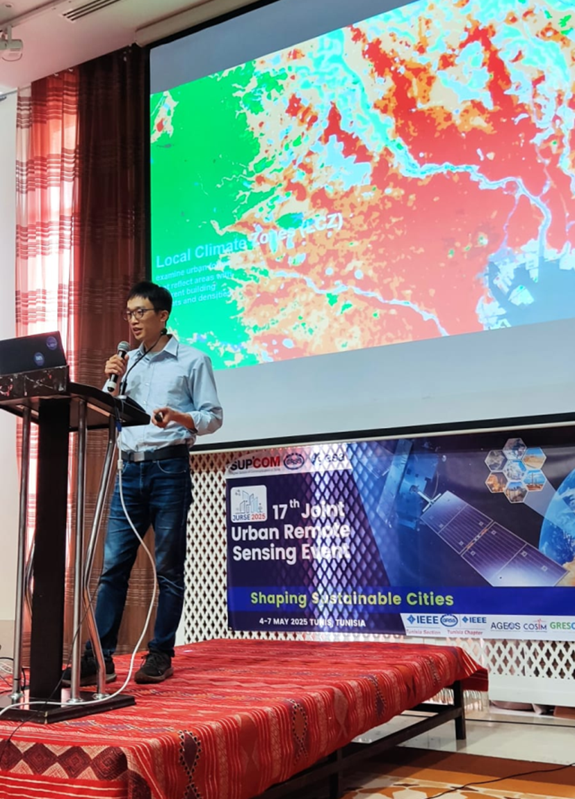
Ariane Droin presented her talk about “Assessing the x-minuteness for different urban structural types in Berlin, Germany”. The study takes a closer look at how different urban structural types influence the accessibility, and thus the x-minuteness within the residential areas of the city of Berlin. The findings show that there is a significant difference in accessibility within the city, and that urban structural types are determining this difference.
De-Cyuan Jheng demonstrated in his presentation titled “The Relationship Between Urban Morphology and the Citizens’ Social Media Footprints: A Case Study on Tokyo” that social media data, when combined with Earth observation-based mapping products, can be used to explore the relationship between social media posts and urban morphology. This study revealed a complex interaction between the topics discussed on social media, urban morphology, and urban functions, highlighting the potential of social media data as a valuable resource for enhancing the representation of urban complexity.
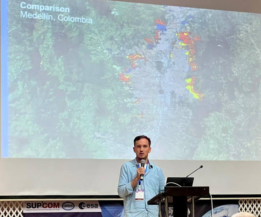
John Friesen presented a study titled “Comparative Analysis of Manual Slum Identification Using Satellite Data: A Case Study of Medellín, Colombia”, which investigates how two independent research teams mapped slums in Medellín using high-resolution satellite data and manual visual image interpretation. The study compares the Atlas of Informality dataset with a manually created Morphological Slums dataset, highlighting areas of overlap and divergence in the identified informal settlements. The results show strong agreement in core high-density areas but notable differences in peripheral and less dense zones, reflecting how different methodological choices affect mapping outcomes. These findings emphasize the importance of transparent definitions, standardized methods, and methodological awareness for improving the accuracy of slum mapping. The work contributes to global efforts to better monitor informal settlements and supports the development of robust data for tracking progress on Sustainable Development Goal 11.1.1—ensuring adequate, safe, and affordable housing and upgrading slums.
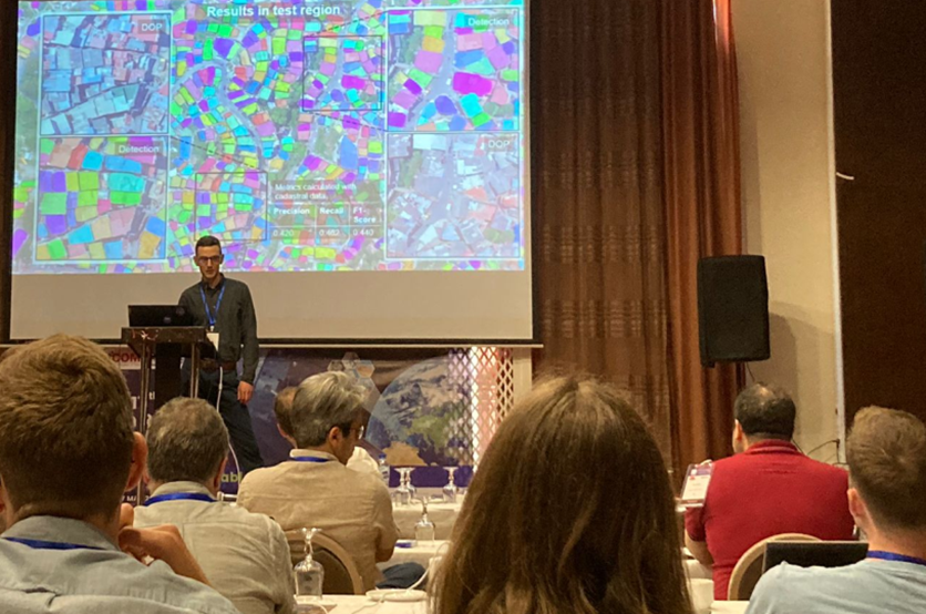
On behalf of Christian Geiß and others, Hannes Taubenböck presented the study on “Characterization of agricultural cultivation areas between 2019-2023 in war zones of Eastern Ukraine using Sentinel-2 data“. In this work the development of agricultural cultivation areas has been characterized based on multiple spectral indices using Sentinel-2 imagery to reflect wartime effects for two test sites in Eastern Ukraine between 2019-2023.
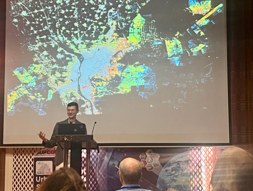
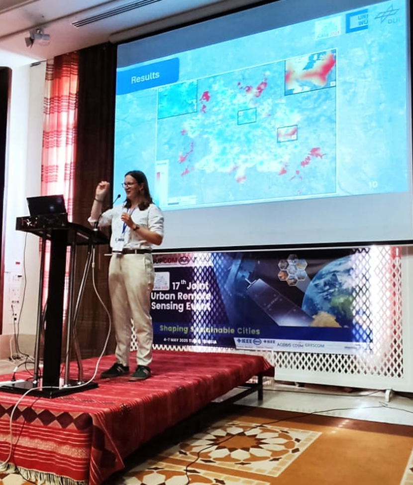
Mohammad Kazemi Garajeh presented work he conducted in collaboration with Christian Geiß, among others. His talk was titled “Urban Infrastructure at Risk: Assessing Landslide Impacts“. In this study landslides have been detected from remote sensing imagery and the impact of landslides on urban infrastructure has been evaluated. For landslide detection, a machine learning technique has been implemented.