


Our EAGLE student Daria recently wrapped up an internship at the University of Bergen in the Remote Sensing research group.
With the support of her supervisor, Dr. Benjamin Abreu Robson, she got to work on the Jostedalsbreen glacier using drone and satellite data. Her focus was on studying changes in glacier elevation, velocity, and roughness, as well as analyzing Snow Line Altitude (SLA) and Snow Cover Ratio (SCR) over the past 20 years. She also explored radar backscatter and glacier elevation changes using various datasets. “Being able to contribute to such meaningful research while working with cutting-edge technology has been truly rewarding,” Daria shared.
In August, she had the incredible opportunity to participate in a field trip to the glacier, where they used drones for hands-on data collection—an unforgettable adventure! “The field trip was definitely a highlight. It felt surreal to see the glaciers up close and collect data in such a dynamic, real-world setting,” Daria reflected.
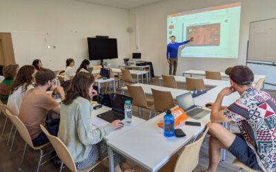
Beyond the technical work, Daria met so many inspiring scientists and students from around the world. They had great discussions, weekly presentations, and even some fun group activities like hiking and cultural evenings. “The people I met during this internship made the experience even more special. Collaborating with such a diverse and passionate group of individuals was truly inspiring,” she said.
The city of Bergen was the perfect backdrop for this internship. With its stunning mountains and fjords, it’s a haven for nature lovers and hiking enthusiasts. Exploring trails like Mount Fløyen and enjoying breathtaking views made every day special. “Bergen’s natural beauty added a whole new dimension to this experience. Hiking through the mountains was the perfect way to unwind after a busy day of research,” Daria recalled.
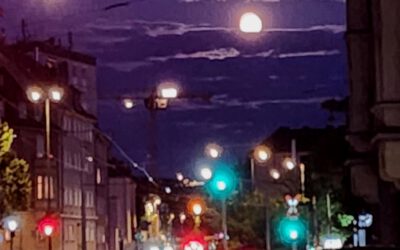
Moreover, she was lucky to see the Aurora. “Witnessing the Northern Lights was a magical moment. It felt like nature was celebrating my time in Bergen with me.”
This internship was a mix of learning, connecting, and adventure. Daria is super grateful for the opportunity and all the wonderful memories she’s made. “I’ll always look back on this experience with gratitude. It’s been a perfect blend of professional growth and personal adventure.”
you may also like:
EORC and EAGLE summer BBQ
We’re happy to announce that our summer BBQ is happening again on Thursday, July 24th at 4pm! Alongside good food and a relaxed atmosphere, we’re also hosting a series of short talks highlighting exciting topics in Earth Observation and environmental science: “The...
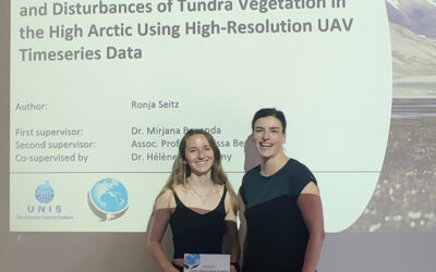
Successful MSc Thesis Defense by Ronja Seitz on UAV-Based Monitoring of High-Arctic Tundra Dynamics
We warmly congratulate Ronja Seitz on the successful defense of her MSc thesis, which tackled one of the most pressing environmental challenges of our time: the rapid warming of the high Arctic. Her research focused on Svalbard, one of the fastest-warming regions on...
🗺 Exploring Map Visualizations
Within our EAGLE courses our students have to learn a wide variety of skills - beside the fundamental earth observation theory and practice also skills like map creation is part of the curriculum. One of our students Ronja Seitz has created three visualizations guides...
Successful Completion of UNIversInternational Certificate
In line with its internationalization strategy, the University of Würzburg supports administrative staff in their task of advising and supporting international students, guests, and academics. To this end, it has launched the "UNIversInternational" certificate...

The “Geolingual Studies” team visited the DLR EOC
The "Geolingual Studies" team of the University Würzburg visited the DLR-EOC on 3 and 4 July 2025. Geolingual Studies is an innovative area of research and teaching which takes a decisively applied linguistic approach and combines methodologies from linguistics,...
Course on Object-based image analysis
Dr. Michael Wurm from the German Aerospace Center (DLR) gave a class about Object-based image analysis (OBIA) using the eCognition Software for the EAGLE students. The course gives an insight into the theoretical basis of OBIA and using different datasets and tasks...