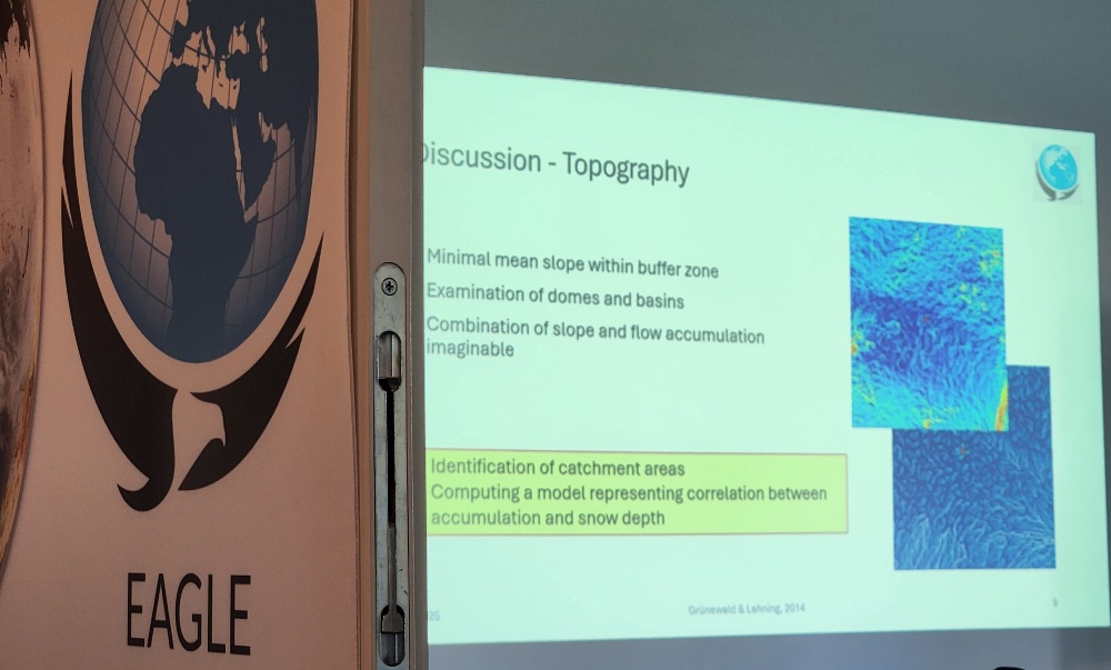
EAGLE MSc students recently showcased their research findings on snow depth and its driving factors at the Schneefernerhaus Environmental Research Station on Zugspitze, Germany’s highest peak. Their work, conducted under the supervision of PhD students Elio Rauth and Basil Tufail, is part of the EORC UAS team’s ongoing efforts to advance environmental monitoring through Unoccupied Aerial Systems (UAS).
Cutting-Edge Data Collection at High Altitude
Using state-of-the-art drone technology, the students carried out high-resolution UAS data acquisition over the snow-covered terrain. Their analysis focused on measuring snow depth variations and identifying key influencing factors such as temperature, wind patterns, and solar radiation. The project contributes to a better understanding of alpine snow dynamics, which are critical for climate studies, hydrology, and avalanche risk assessment.
Presenting Findings at Schneefernerhaus
The students presented their preliminary results to fellow researchers at EORC. Their work highlights the potential of UAS-based remote sensing in improving the accuracy and efficiency of snow monitoring compared to traditional methods. The collaborative environment at Schneefernerhaus allowed for insightful discussions, further refining their approaches for future research.
Strengthening UAS Applications in Environmental Science
This field study is part of the EORC UAS team’s broader mission to integrate drone-based remote sensing into environmental and climate research. Our EAGLE MSc students will continue to acquire more data and explore other approaches of in-situ measurements and UAS applications, paving the way for more innovative, data-driven approaches in alpine research.
The EAGLE program remains committed to equipping students with hands-on experience in cutting-edge geospatial technologies, preparing them for impactful careers in environmental research and beyond.
Stay tuned for more updates on our students’ exciting research adventures!
you may also like:
Guest talk at ENS Lyon
Our PI Florian Betz was invited to give a seminar talk about his research on remote sensing of river dynamics at the ENS Lyon in France. The seminar "Cafe Fluvial" is part of the doctoral training and research network "H2O Lyon" in which a number of research...
Successful MSc Defense by Lena Jäger
On 24 February 2026, EAGLE MSc student Lena Jäger successfully defended her Master’s thesis titled “Assessing the potential of thermal UAS for spatio-temporal Arctic snow monitoring – A pilot study in Bjørndalen, Svalbard.” Her work focused on one of the Arctic’s most...
Henri Debray Successfully Defends PhD on Global Urban Morphology
We are delighted to announce that our PhD student Henri Debray has successfully defended his doctoral thesis, “Characterizing Urban Morphology at a Global Scale: Geospatial Perspectives,”. Henri’s thesis builds on a series of his scientific publications investigating...
Dr. Simon Plank interviewed by NASA Earth Observatory
Home Reef, which is part of the Tonga Volcanic Arc, is the youngest volcanic island on Earth. Dr. Simon Plank, our habilitation candidate and guest lecturer from DLR, has been monitoring the evolution of Home Reef since the island emerged above sea level in September...
EOCap4Africa Training in Kinshasa
This week, 14 students are attending a test run of our Remote Sensing module on Remote Sensing for Biodiversity Conservation at the University of Kinshasa. This module is part of the EOCap4Africa project (funded by the Federal Agency for Nature Conservation, lead Dr....
KI4Stereo – Hybrid kick-off meeting at DLR
KI4Stereo – Hybrid kick-off meeting at DLR: AI-based analysis of stereo image data for tree monitoringOn January 23rd, 2026, a hybrid kick-off meeting was held at DLR to officially launch the research project KI4Stereo (funded under the KMU-innovativ programme,...


