Empowering Students with SAGA GIS for Environmental Applications

Empowering Students with SAGA GIS for Environmental Applications

m

January 16, 2025

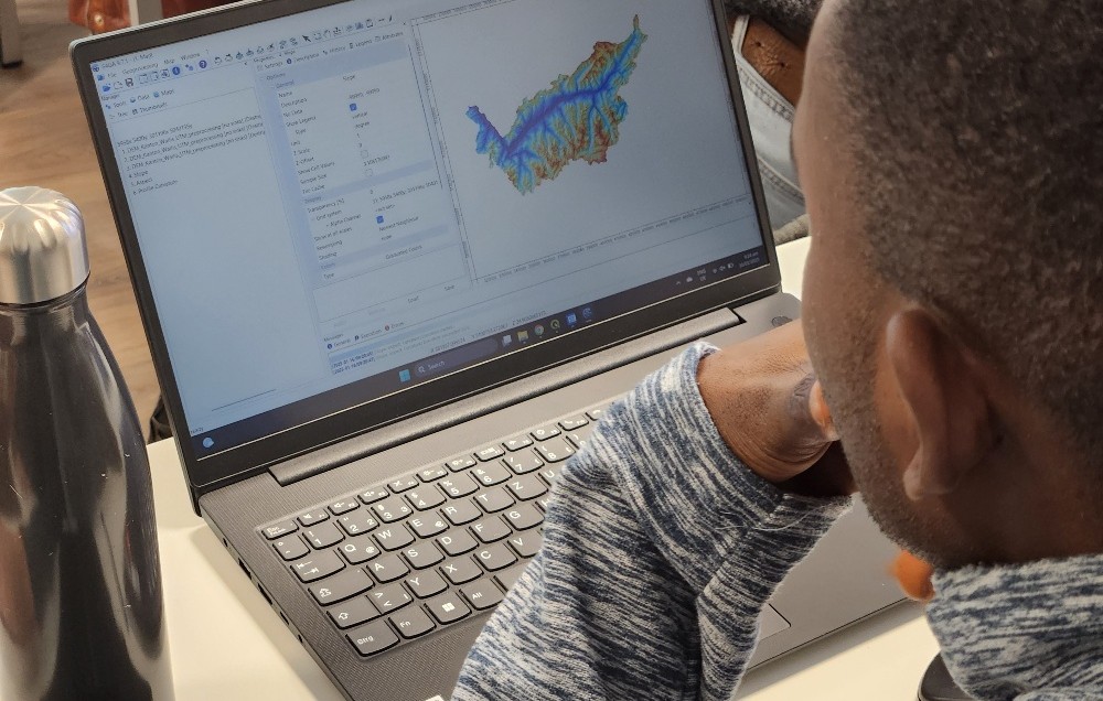
At EAGLE Earth Observation, we are committed to equipping our students with the tools and knowledge needed to excel in the field of environmental science. As part of this effort, our students are exploring the power of various scientific open-source software packages tailored for specific environmental applications, such as hydrology modeling using SAGA GIS.

SAGA GIS (System for Automated Geoscientific Analyses) is a robust open-source Geographic Information System designed for spatial analysis and modeling. Known for its versatility and user-friendly interface, SAGA GIS is widely used in environmental research, enabling users to process and analyze geodata with a focus on tasks like terrain analysis, hydrology, and climate data processing.

It’s inspiring to see the growing expertise of our students, supported by diverse software tools, programming languages, and methodologies that prepare them for a successful scientific future. This training is guided by Dr. Martin Wegmann and Ariane Droin, as part of the international M.Sc. program EAGLE.

Together, we’re fostering a generation of scientists ready to tackle environmental challenges with confidence and innovation.

you may also like:

EORC and EAGLE summer BBQ

EORC and EAGLE summer BBQ

We’re happy to announce that our summer BBQ is happening again on Thursday, July 24th at 4pm! Alongside good food and a relaxed atmosphere, we’re also hosting a series of short talks highlighting exciting topics in Earth Observation and environmental science: “The...

🗺 Exploring Map Visualizations

🗺 Exploring Map Visualizations

Within our EAGLE courses our students have to learn a wide variety of skills - beside the fundamental earth observation theory and practice also skills like map creation is part of the curriculum. One of our students Ronja Seitz has created three visualizations guides...

Successful Completion of UNIversInternational Certificate

Successful Completion of UNIversInternational Certificate

In line with its internationalization strategy, the University of Würzburg supports administrative staff in their task of advising and supporting international students, guests, and academics. To this end, it has launched the "UNIversInternational" certificate...

The “Geolingual Studies” team visited the DLR EOC

The “Geolingual Studies” team visited the DLR EOC

The "Geolingual Studies" team of the University Würzburg visited the DLR-EOC on 3 and 4 July 2025. Geolingual Studies is an innovative area of research and teaching which takes a decisively applied linguistic approach and combines methodologies from linguistics,...

Course on Object-based image analysis

Course on Object-based image analysis

Dr. Michael Wurm from the German Aerospace Center (DLR) gave a class about Object-based image analysis (OBIA) using the eCognition Software for the EAGLE students. The course gives an insight into the theoretical basis of OBIA and using different datasets and tasks...

Privacy Policy

Lehrstuhl für Fernerkundung & Lehrstuhl für Urbane Fernerkundung

Erdbeobachtung an der Universität Würzburg