EORC Talk: Practical Forestry Research – Use of Forestry Remote Sensing at the Bavarian State Institute of Forestry (LWF)

EORC Talk: Practical Forestry Research – Use of Forestry Remote Sensing at the Bavarian State Institute of Forestry (LWF)

m

July 8, 2024

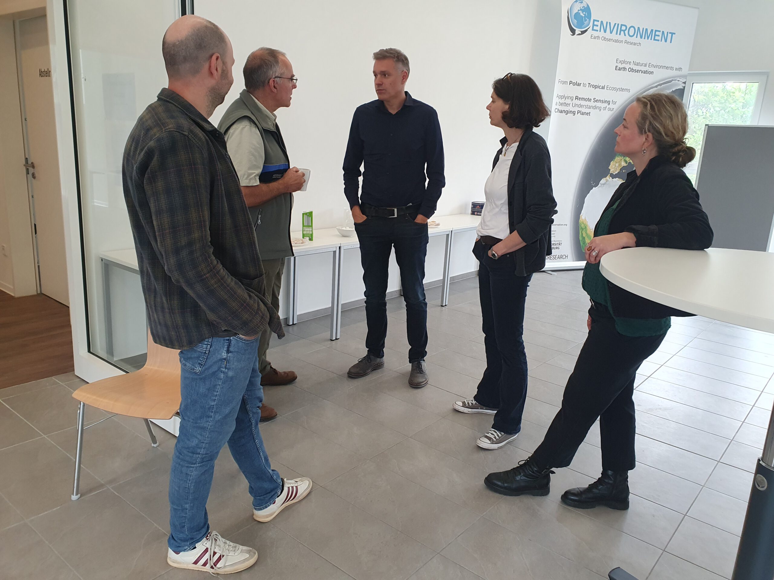
On July 4, the Earth Observation Research Cluster (EORC) welcomed Rudolf Seitz, Head of Department 1: Forest-related Information-technology, from the Bavarian State Institute of Forestry (LWF) in Freising, Bavaria.

Rudolf Seitz is a distinguished expert in remote sensing in the context of forestry and has many years of project experience, e..g., with the DLR.

The EORC Talk was dedicated to the practice-oriented research of the remote sensing team at the LWF, such as applying different sensor systems to analyze and detect calamities and other damaging events such as drought and windthrow.

The presentation provided an excellent insight into the status of forests in Bavaria. Numerous questions were asked by the scientists and students present and answered comprehensively by Rudolf Seitz. The interesting discussions and exchanges continued seamlessly into the EAGLE Summer Dialog and talks on the same day.

We are happy that Rudolf Seitz was a guest at the EORC and hope to welcome him again soon.

Joint discussion of Rudolf Seitz from the Bavarian State Institute of Forestry (LWF; second from left) with colleagues from the EORC.

follow us and share it on:

you may also like:

Seeing the World in Points: Lidar Course for the EAGLEs

Seeing the World in Points: Lidar Course for the EAGLEs

Lidar has a funny way of sneaking up on you. You think you know what it is, a laser that measures distance, fine, but then someone shows you a point cloud of a forest canopy with individual branches floating in 3D space and suddenly you realize there's a whole...

RTL covers EORC: TV Crew Films MONID Habitrack Fieldwork

RTL covers EORC: TV Crew Films MONID Habitrack Fieldwork

A bit of extra excitement at EORC recently, an RTL television crew showed up to film a segment on the MONID Habitrack project, and Dr. Ariane Droin was right in the middle of it, walking them through what Earth Observation actually brings to the table for a project...

Ticks from Above: UAS Fieldwork for the MONID Habitrack Project

Ticks from Above: UAS Fieldwork for the MONID Habitrack Project

Forest edges are tricky places. They're where woodland meets open ground, where light and shade trade off every few meters, and where, it turns out, ticks tend to do really well. That last bit is exactly why Dr. Ariane Droin, Sofica Garcia de Leon, Dr. Jakob...

Course on urban EO by Michael Wurm

Course on urban EO by Michael Wurm

Walk through any city and you pick up on things that are hard to put a number on. The noise of a main road, the heat that sits between buildings in summer, the question of whether that little park around the corner is really enough green space for the whole...

EireR R package: unified gateway to Irish geospatial data

EireR R package: unified gateway to Irish geospatial data

Anyone who's tried to do geospatial work across the whole island of Ireland knows the headache. Ireland is one island geographically, but it's split across two jurisdictions, the Republic and Northern Ireland, and each one runs its own data infrastructure. Different...

Impact of agrophotovoltaic facilities – an R package

Impact of agrophotovoltaic facilities – an R package

There's a new R package on the block, and it's solving a problem that sounds simple until you actually try to do it: how do you tell whether putting solar panels over a farm field is good or bad for the soil and the crops around them? Marlene, one of our EAGLE...

Share This