First Field Trip to the Western Aquifer Basin within the MedWater Project

First Field Trip to the Western Aquifer Basin within the MedWater Project

March 21, 2018

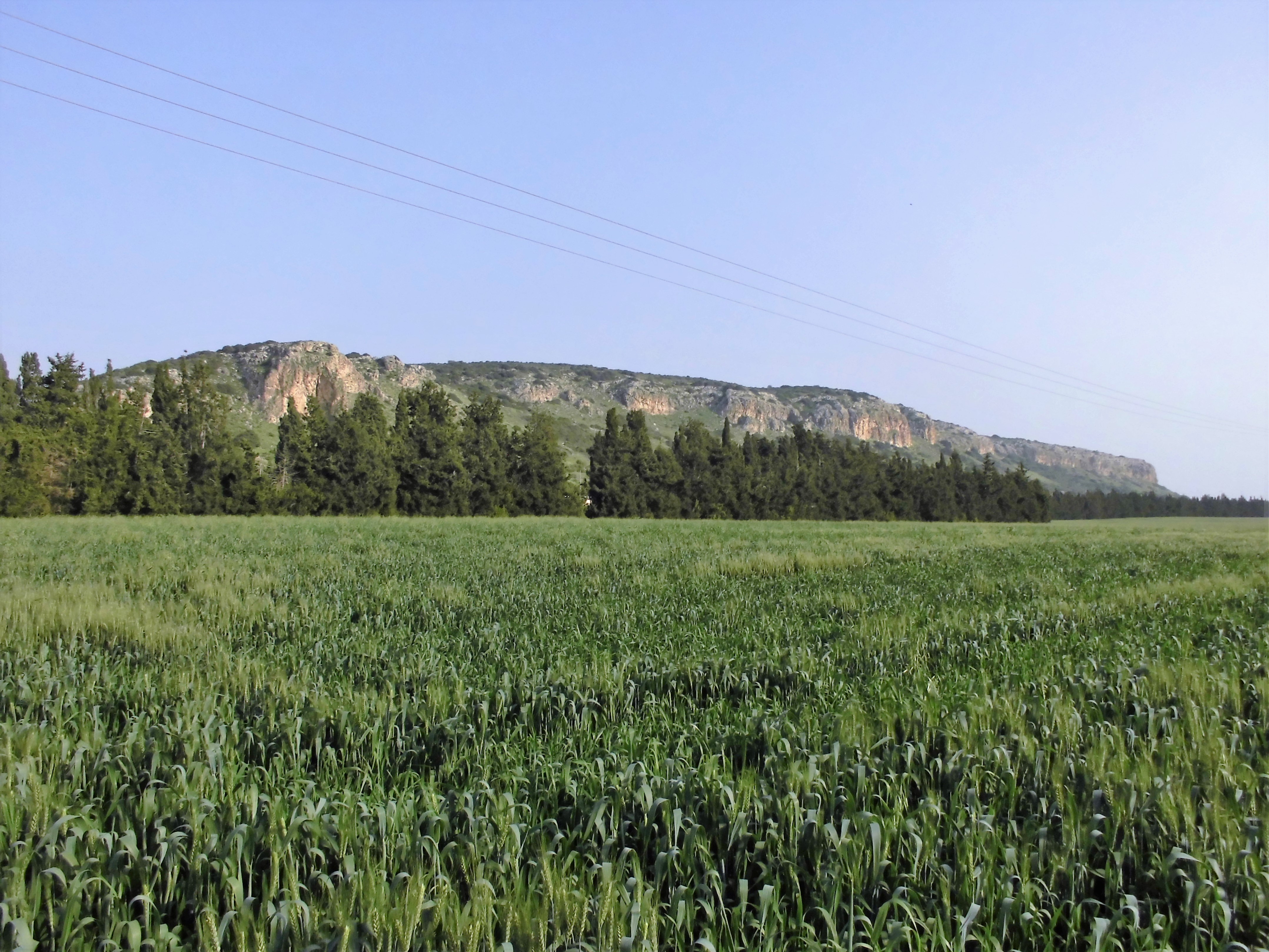
Land use (here cropping of wheat) in the Taninim catchment close to the Taninim spring in northern Isreal. In the backround, the Carmel mountain range is shown. Picture taken by S. Schönbrodt-Stitt (March 2018)

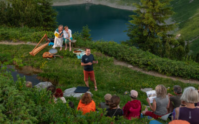
In March 2018, a colleague from the Department of Remote Sensing at University of Würzburg has joined the field trip to Isreal within the framework of the BMBF-funded project MedWater.

Together with the partners from the Chair of Hydrology at the Technical University of Berlin, the Research Group on Ecological Service at the University of Bayreuth, the Chair of Applied Geology at the University of Göttingen, and from Mekorot Water Company Ltd. In Israel, a first survey of – inter alia – the physio-geographic situation and land use pattern in the Western Aquifer Basin was conducted. Particularly, the topics of groundwater resources and water management in the Taninim catchment were discussed. Knowledge gained from this first field survey will be used to conduct remote sensing based assessment and analysis of the land use and land cover in the focus study area of the MedWater project.

MedWater (GRoW) – Sustainable use of politically and economically relevant water resources in hydraulically, climatically and ecologically highly dynamic hard-rock aquifers in the Mediterranean region

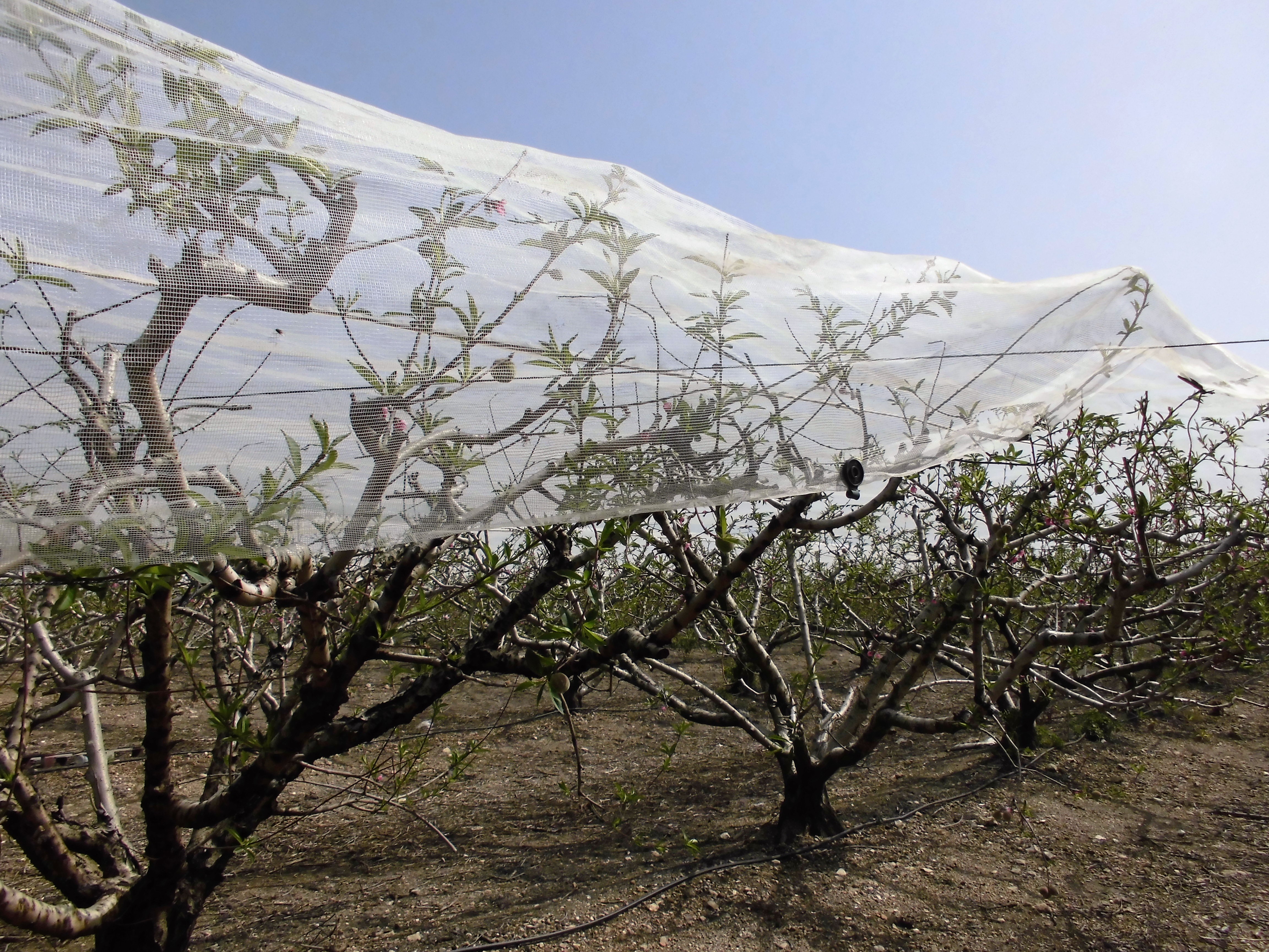
Peach orchard with a typical anti-bird mesh in the Taninim catchment. Picture taken by S. Schönbrodt-Stitt (March 2018).

The MedWater project is part of the GRoW funding measure funded by the German Federal Ministry of Education and Research (BMBF) within the FONA framework. The overall objective of MedWater is the optimal management of scarce groundwater resources in vulnerable aquifers subject to the Mediterranean climate by developing management tools for improving efficiency in water use and preserving existing water resources and ecosystem services. The international MedWater consortium involves multi-disciplinary partners from the side of research and industry.


you may also like:

Our research site and project covered by BR

Our research site and project covered by BR

The University forest at Sailershausen is a unique forest owned by the University of Wuerzburg. It comes with a high diversity of trees and most important is part of various research projects. We conducted various UAS/UAV/drone flights with Lidar, multispectral and...

Meeting of the FluBig Project Team

Meeting of the FluBig Project Team

During the last two days, the team of the FluBig project (remote-sensing.org/new-dfg-project-on-fluvial-research/) met at the EORC for discussing the ongoing work on fluvial biogeomorphology. After returning from a successful field expedition to Kyrgyzstan a couple of...

‘Super Test Site Würzburg’ project meeting

‘Super Test Site Würzburg’ project meeting

After the successful "Super Test Site Würzburg" measurement campaign in June (please see here: https://remote-sensing.org/super-test-site-wurzburg-from-the-idea-to-realization/ ), the core team from the University of Würzburg, the Karlsruhe Institute of Technology,...

EORC Talk: Geolingual Studies: A New Research Direction

EORC Talk: Geolingual Studies: A New Research Direction

On July 19th, Lisa Lehnen and Richard Lemoine Rodríguez, two postdoctoral researchers of the Geolingual Studies project, gave an inspiring presentation at the EORC talk series.   In the talk titled "Geolingual Studies – a new research direction", they...

EO support for UrbanPArt field work

EO support for UrbanPArt field work

From May to September, Karla Wenner, a PhD student at the Juniorprofessorship for Applied Biodiversity Science, will be sampling urban green spaces and semi-natural grasslands in Würzburg as part of the UrbanPArt project. Our cargo bikes support the research project...

Cinematic drone shots

Cinematic drone shots

We spend quite some time in the field conducting field work, from lidar measurements to vegetation samples in order to correlate it with remote sensing data to answer various research questions concerning global change. Field work is always a 24/7 work load and...