Global Urbanization

Global Urbanization

m

May 20, 2015

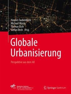
Globale_UrbanisierungBook “Global Urbanization – Perspective from space” published with Springer Spektrum

In the year 2050 there will be 6 billion people living in cities all over the world. This dramatic migration of mankind into the cities has massive impacts on global settlements: especially in Asia, Africa and South America cities with millions of inhabitants are developing rapidly; megacities grow almost unstoppably and create new dimensions of urbanization such as megaregions with more than 100 million inhabitants. Many different kinds of urban structures are formed in this process of urbanization: e.g. decentralized agglomerations of high-rise buildings, monotonous suburbias or slum dwellings. These structures can be identified from space, using multisensoral remote sensing data.

In this book the focus is on transforming multisensoral Earth observation data into new geographic notions. We answer questions such as “which megacities have the highest rates of urban expansion?“, “which spatial patterns of settlements are existing?”, are informal settlements or planned suburbs morphologically similar across the globe?“, “are current urban population estimates correct?“, “how do refugee camps turn into permant settlements?“, “where are the global hubs of NO2 atmospheric loading?” or “can we observe systematics in people sensing the city and the urban structure?”. In addition, these matter-of-fact scientific analyses from space are connected with reports of people sensing the atmosphere of cities.

Beyond this, well-known experts in the fields of remote sensing, geo-informatics, urban geography, sociology or socio-economy discuss requirements, expectations and challenges for urban remote sensing for the future.

This book is published at SpringerSpektrum: http://www.springer.com/de/book/9783662448403

you may also like:

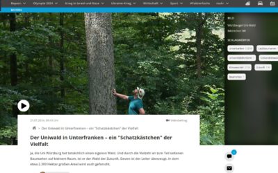
Our research site and project covered by BR

Our research site and project covered by BR

The University forest at Sailershausen is a unique forest owned by the University of Wuerzburg. It comes with a high diversity of trees and most important is part of various research projects. We conducted various UAS/UAV/drone flights with Lidar, multispectral and...

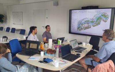
Meeting of the FluBig Project Team

Meeting of the FluBig Project Team

During the last two days, the team of the FluBig project (remote-sensing.org/new-dfg-project-on-fluvial-research/) met at the EORC for discussing the ongoing work on fluvial biogeomorphology. After returning from a successful field expedition to Kyrgyzstan a couple of...

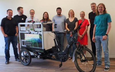
‘Super Test Site Würzburg’ project meeting

‘Super Test Site Würzburg’ project meeting

After the successful "Super Test Site Würzburg" measurement campaign in June (please see here: https://remote-sensing.org/super-test-site-wurzburg-from-the-idea-to-realization/ ), the core team from the University of Würzburg, the Karlsruhe Institute of Technology,...

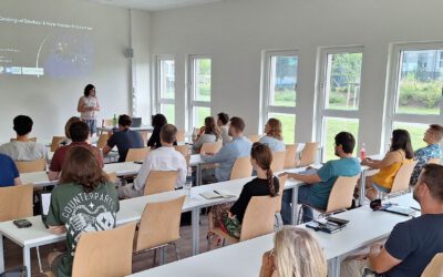
EORC Talk: Geolingual Studies: A New Research Direction

EORC Talk: Geolingual Studies: A New Research Direction

On July 19th, Lisa Lehnen and Richard Lemoine Rodríguez, two postdoctoral researchers of the Geolingual Studies project, gave an inspiring presentation at the EORC talk series.   In the talk titled "Geolingual Studies – a new research direction", they...

EO support for UrbanPArt field work

EO support for UrbanPArt field work

From May to September, Karla Wenner, a PhD student at the Juniorprofessorship for Applied Biodiversity Science, will be sampling urban green spaces and semi-natural grasslands in Würzburg as part of the UrbanPArt project. Our cargo bikes support the research project...

Cinematic drone shots

Cinematic drone shots

We spend quite some time in the field conducting field work, from lidar measurements to vegetation samples in order to correlate it with remote sensing data to answer various research questions concerning global change. Field work is always a 24/7 work load and...