In situ soil moisture campaign in a Mediterranean environment

In situ soil moisture campaign in a Mediterranean environment

November 25, 2019

Spatially explicit near-surface soil moisture (θ) patterns at high temporal resolution are essential in environmental modelling for improving risk assessment and for quantifying the effects of climatic seasonality and land use/land cover change on ecosystem services and functions in Mediterranean catchments. Remote sensing data from the European Copernicus mission are highly acknowledged to serve as fast, reliable, and available suppliers for the derivation of area wide, high grid-resolution information on near-surface soil moisture patterns acquired at a regular temporal resolution (satellite overpass is every six days). To reliably map θ from remote sensing radar (i.e., Sentinel-1) satellite products, robust calibration with gridded ground-data is needed and use of either sporadically measured or continuously monitored θ is of crucial importance for validation procedures.

Monteforte Cilento in the Upper Alento River catchment in southern Italy. Picture by S. Schönbrodt-Stitt (Oct 23, 2019)

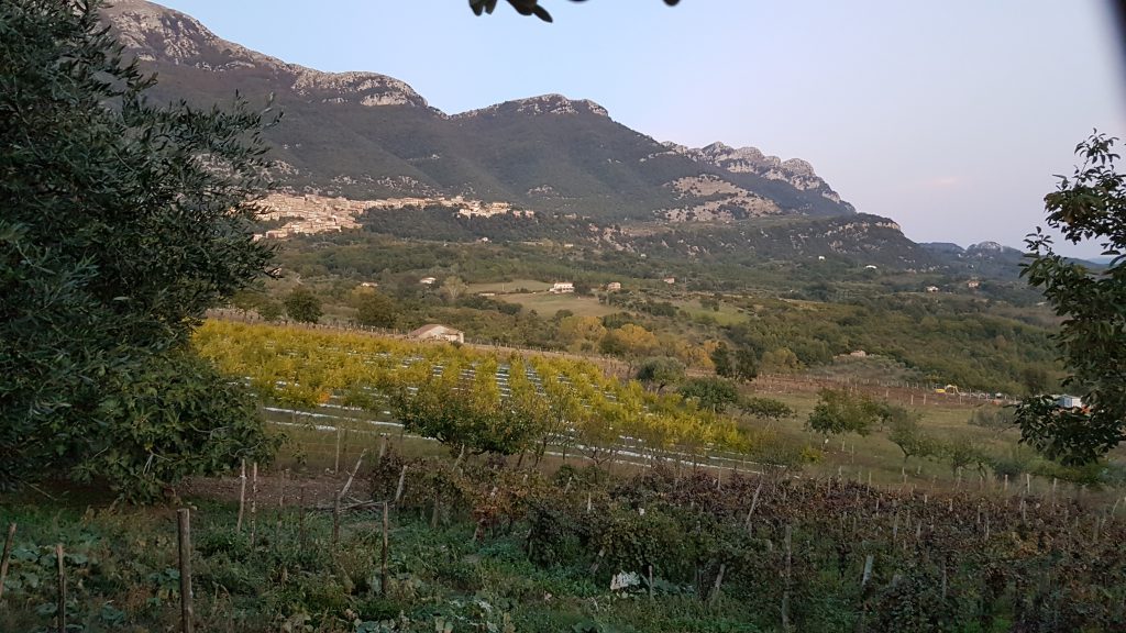
Together with partners from the Department of Agricultural Sciences (AFBE Division) at the University of Napoli Federico II (Portici, Italy), staff members from the Department of Remote Sensing at the University of Würzburg conducted a short field trip and in situ campaign at end of October 2019. Focus of sampling was on soil moisture and electrical conductivity, and intercalibration of sensors. The campaign took place in the Upper Alento River catchment in southern Italy (Salerno province).

The stay in Italy was completed with presenting first group’s results about “Remote sensing-based monitoring of soil moisture in a small-scale agricultural catchment” at the IEEE workshop on “Metrology for Agriculture and Forestry” in Portici.

you may also like:

EORC at the International Africa Festival 2025 in Würzburg

EORC at the International Africa Festival 2025 in Würzburg

If you know Würzburg, you certainly know the International Africa Festival, Europe's largest and oldest festival for African music and culture. For 15 years in a row now, the university tent has been an integral part of the festival. This is where the...

EO4CAM meeting at LfU in Augburg on grassland in Bavaria

EO4CAM meeting at LfU in Augburg on grassland in Bavaria

As part of the EO4CAM project (Earth Observation Laboratory for Climate Adaption and Mitigation), representatives of the Bavarian Environment Agency (LfU), the German Aerospace Centre (DLR), and the Earth Observation Research Cluster (EORC) met at the LfU in...

New R Package Enhances UAS Research and Planning

New R Package Enhances UAS Research and Planning

We’re excited to share the development of a new R package created by our PhD student, Antonio Castaneda Gomez, whose contributions to Uncrewed Aerial Systems (UAS) research continue to impress. Known as the brain behind many of our UAS data collection...

Radio Bavaria BR2 covered our activities at the Africa-Festival

Radio Bavaria BR2 covered our activities at the Africa-Festival

Once again, our team proudly took part in the International Africa Festival in Würzburg, continuing our active participation within the University of Würzburg's exhibition—a tradition we’ve upheld for many years. This year’s event highlighted the ongoing commitment of...

Mapping Paleontology using UAS on cliffs

Mapping Paleontology using UAS on cliffs

We’ve recently started an exciting research project focused on mapping steep rock slopes that contain valuable paleontological information. Unlike most drone surveys that focus on horizontal ground surfaces, our work is aimed vertically—capturing data along exposed...