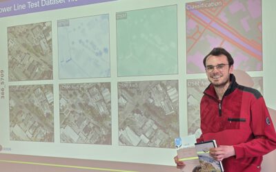
On November 26, 2024, Jean de Dieu Tuyizere will present his internship results on ” Mapping leaf area index in Ghana and Senegal using Gaussian process regression and Sentinel-2 Imagery” at 12:00 in seminar room 3, John-Skilton-Str. 4a.
From the abstract: This study focused on mapping the leaf area index (LAI) across various tiles in Ghana and Senegal using Sentinel-2 Level 2A imagery and Gaussian process regression (GPR) within the Google Earth Engine (GEE) platform. The GPR model predicts green LAI by processing Sentinel-2 imagery, applying cloud masking techniques to handle cloud cover, and performing time series gap-filling to account for missing data. Temporal covariance is used to model the relationships between observed and missing LAI values across different time points allowing the GPR model to accurately infer and fill gaps caused by cloud cover, thereby ensuring continuous and consistent spatiotemporal coverage of the LAI data. Therefore, final gap-filled and original LAI maps for the processed tiles were visualized and exported for further analysis, showcasing the effectiveness of GPR-based processing for accurate vegetation monitoring in clouded regions.
1st supervisor: Dr. Insa Otte
Hosting Institution: DLR