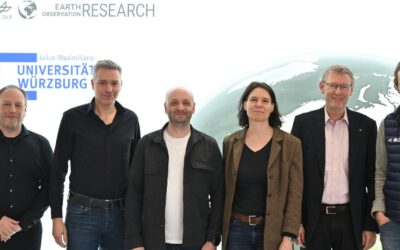
In this series about our permanent staff, we are pleased to introduce Dr. Martin Wegmann, the managing director of our Earth Observation Research (EOR) Hub. The EOR Hub is located at the University of Würzburg within the Institute of Geography. The EOR hub is formed by the two chairholders Prof. Stefan Dech (chair for Remote Sensing) and Prof. Hannes Taubenböck (chair for Urban remote Sensing), within the EOR hub also Prof. Claudia Künzer and Prof. Tobias Ullmann are appointed at the department of remote sensing lead by Stefan Dech. The EOR is linked to DLR, since Prof. Stefan Dech is director of the DLR-EOC in Oberpfaffenhofen near Munich, Prof. Hannes Taubenböck is head of the department of georisk and civil security and Prof. Claudia Künzer head of the department of land surface dynamics within DFD.
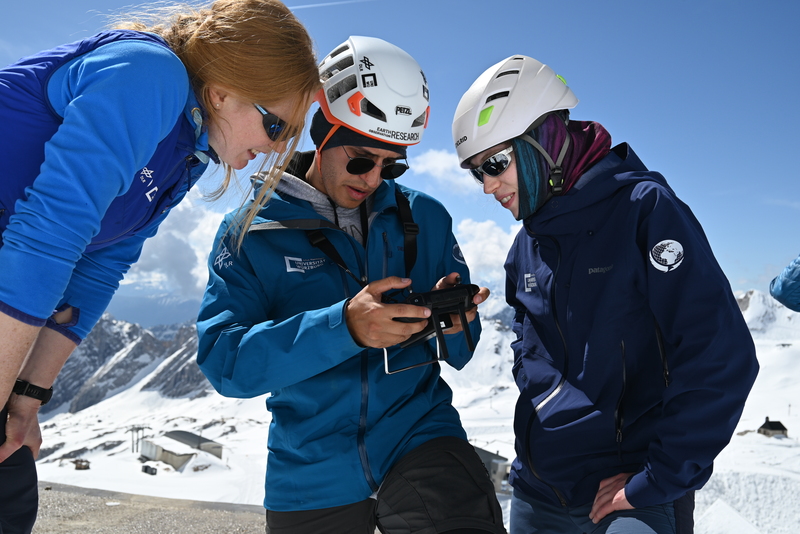
Martin manages the 30+ EOR staff members and growing research activities in Würzburg. He is responsible for all daily operations whilst coordinating the EOR hub expansion and different new research initiatives. He initiates collaborations, identifies (and solves) upcoming challenges and potential, and oversees various activities in lecturing, supervision, research projects and research itself. Moreover, he is responsible for the international EAGLE M.Sc. program which he has developed and led in recent years. Within the EAGLE M.Sc. program he teaches spatial coding, software applications, spatial modeling and applications in biodiversity sciences among other topics.
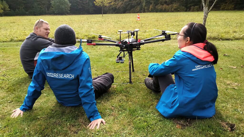
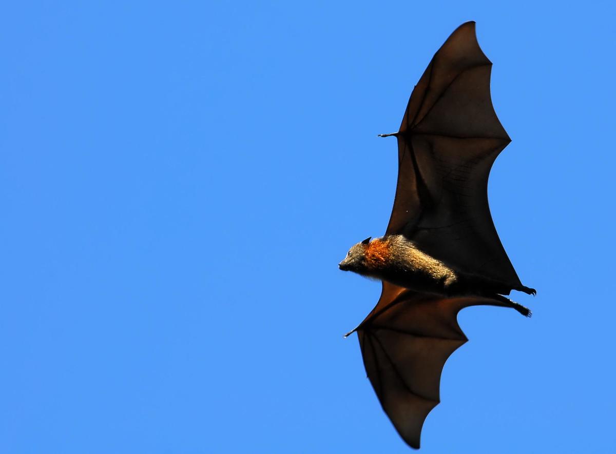
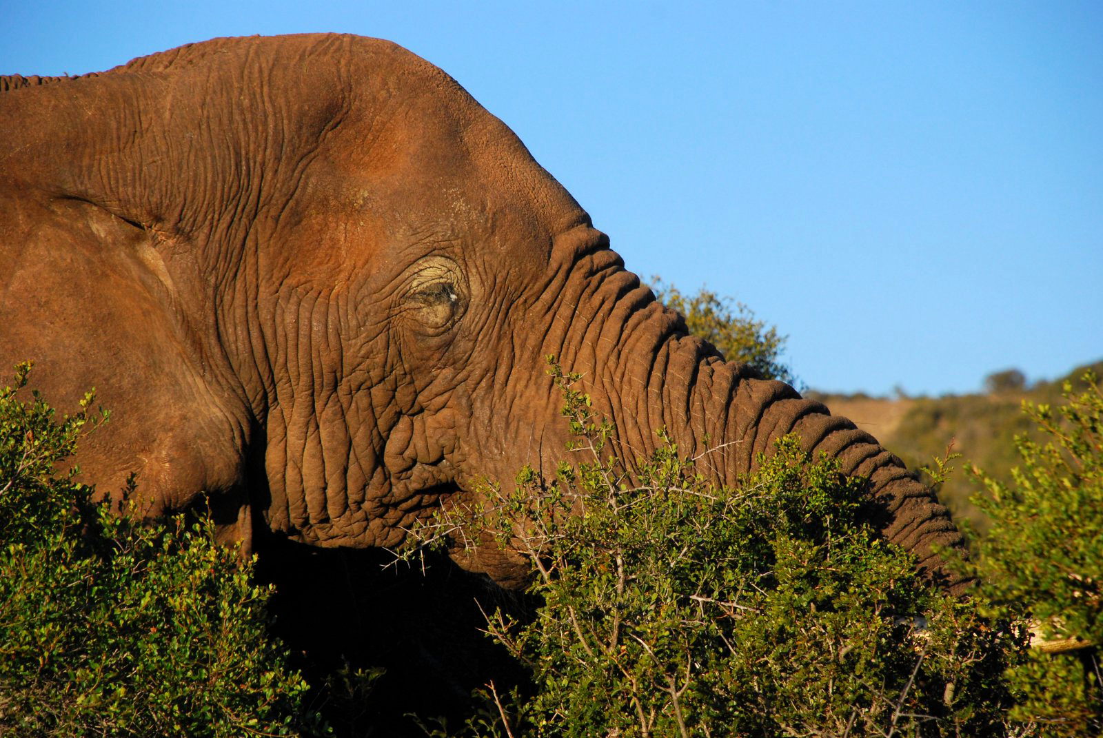
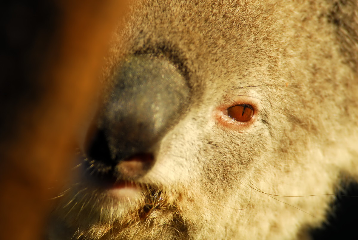
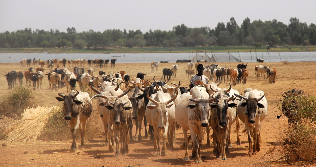
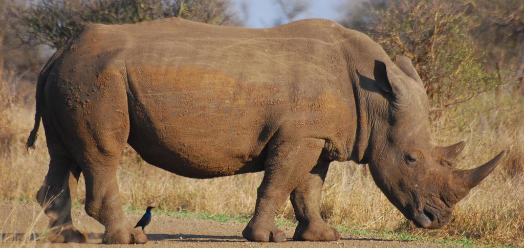
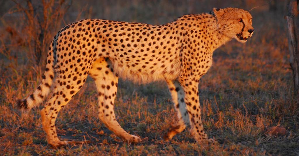
Martin has a long history in Earth Observation for biodiversity and conservation research. Today he continues to push these topics forward in collaboration with an international network of EO researchers by expanding his activity into agriculture, urban, and forest remote sensing. Due to the increasing diversity of Earth Observation applications within our EOR hub, he is also involved in other remote sensing research such as detecting trucks via Sentinel 2 data, the development of EO software such as RStoolbox, moveVis, r.pi, and rsMove. Additionally, he supports the mapping of urban properties and UAS-based research within our EOR hub activities. His work activities stretches across the globe, from warm to cold climates in Europe, Africa, South America or Asia.
Martin has published two textbooks on applied Earth Observation and is working on a third book aimed at advanced earth observation methods and applications. Due to his open source and open access philosophy he is only using freely available data and software in his textbooks and courses.
In recent years he also initiated the AniMove science school and the Earth Observation Network, as well as the GeoSens Training activity. Martin is also engaged in international networks of earth observation scientists, specifically GEO and CEOS Biodiversity.
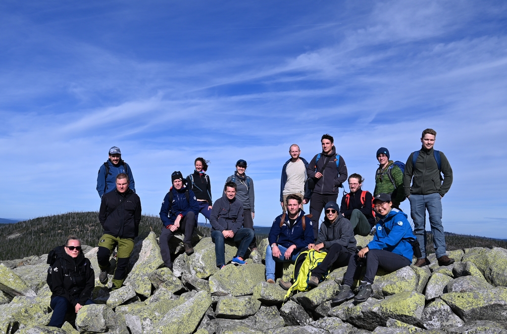
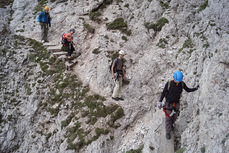
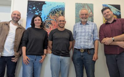
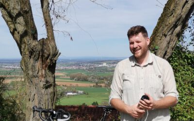
He is interested in photography and many of our pictures from field work are in fact taken by him and hence you rarely see him in any pictures. We are very happy to have Martin as EOR hub managing director – pushing the diverse research topics and developments forward.