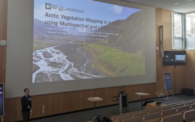
At the Arctic System Science Conference 2026 in Potsdam, researchers gathered to explore the complexity of Arctic systems and the rapid changes they are undergoing. Hosted by the Alfred Wegener Institute (AWI), the event highlighted interdisciplinary approaches to understanding Arctic environments.
Representing the Earth Observation Research Cluster (EORC) at the University of Würzburg, Jakob Schwalb-Willmann presented innovative research on UAV-based LiDAR snow depth mapping and its implications for Arctic ecosystem dynamics in Svalbard together with his co-authors among others Dr. Mirjana Bevanda, Dr. Sebastian Buchelt, Antonio Castaneda-Gomez, Ronja Seitz, Lena Jäger etc. and colleagues from UNIS, Prof. Larissa Beumer and Prof. Simone Lang.
Snow: a key ecological driver
Snow depth is far more than a seasonal feature in Arctic environments—it is a fundamental control on ecosystem processes. Acting as an insulating layer, snow influences:
-
Subnivean temperatures
-
Active layer thickness
-
Soil moisture and nutrient availability
At the same time, it shapes habitat conditions for wildlife. For example, while deeper snow can protect vegetation, it may also limit access to forage and increase energy expenditure for herbivores such as reindeer.
Despite its importance, snow depth remains poorly characterized at ecologically relevant spatial scales.
UAV LiDAR for high-resolution snow mapping
Jakob’s work addresses this gap using a LiDAR-equipped fixed-wing UAV to derive spatially continuous snow depth data. By comparing surface elevations under snow-covered and snow-free conditions, the study achieves:
-
A spatial resolution of 2.5 cm across 216.5 hectares
-
Centimetre-level positional accuracy using RTK/PPK GNSS
-
High agreement with field measurements (R² = 0.93, n = 340)
This level of detail represents a significant advance over traditional snow measurement techniques and coarse remote sensing products.
Understanding spatial patterns
Beyond mapping, the study investigates the spatial structure of snow depth using semi-variogram and autocorrelation analyses. The results reveal characteristic spatial scales of variation, including folding patterns at or below 2.5 metres.
One particularly striking finding is that commonly used proxy variables in Arctic ecology—often relied upon when direct snow data are unavailable—do not show consistent spatial relationships with measured snow depth.
Implications for Arctic ecosystems
These findings suggest that high-resolution, spatially continuous snow data are essential for:
-
Accurately quantifying snow-vegetation interactions
-
Improving habitat and resource availability models
-
Understanding ecosystem responses to changing snow regimes
The study highlights the transformative potential of UAV-based LiDAR in Arctic research, enabling new insights into the fine-scale processes that govern ecosystem dynamics.
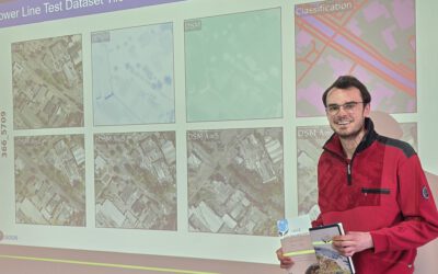
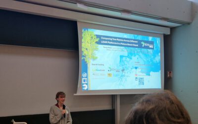
Like the vegetation mapping work presented at the conference, this project is a collaborative effort between the University of Würzburg and the University Centre in Svalbard (UNIS), emphasizing the strength of joint research initiatives in challenging environments.
The Arctic System Science Conference once again proved to be an invaluable forum for connecting researchers across disciplines and regions. We are thankful for the opportunity to contribute and engage, and we look forward to continuing these discussions in future editions.