I started my academic career in Bergen, Norway where I studied geophysics. During my bachelor’s degree I became more interested in Earth’s surface and surface dynamics, rather than the interior of the Earth, which is what geophysics focuses on. After obtaining my bachelors degree I moved to The Netherlands to pursue an MSc in Geohazards and Earth Observation. My graduation project was on combining lab work and field work to map lithological units dating back to the Jurassic period in France. My interests lie in spatial and spectral analysis using optical and radar satellite data. Here at the Department of Remote Sensing I will work with agricultural mapping in East-Africa as part of UPSCALE project.

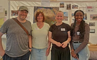
Congratulations to Julia Rieder on Her Successful PhD Defense
We are pleased to congratulate Julia Rieder on the successful defense of her PhD thesis! Over the past years, Julia has investigated how European beech forests respond to severe drought events and which factors determine whether individual trees survive or die under...