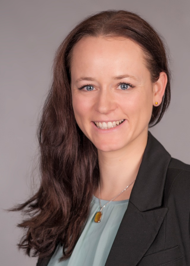
 Sarah Schönbrodt-Stitt has joined the Department of Remote Sensing as a new scientific staff member in April 2016. Her focus is mainly on the development of indicators on the land and water use in Central Asia within the Regional Research Network “Water in Central Asia” (CAWa). Further focus lies on the coordination of the scientific work on the webgis-tool WUEMoCA (Water Use Efficiency Monitor in Central Asia) and the contributing partners at the Department of Remote Sensing from Würzburg University, greenspin (Wuerzburg), SIC ICWC (Scientific-Information Center of the Interstate Coordination Water Commission of the Central Asia) and CAREC (Regional Environmental Center for Central Asia). Sarah Schönbrodt-Stitt studied Geography and Geology at the universities of Greifswald and Göttingen. In 2014, she received a Ph.D. in Natural Sciences from the University of Tübingen, Soil Science and Geomorphology work group (with Prof. Dr. Thomas Scholten), for her work on soil erosion and its dynamics in a highly dynamic, terraced environment with focus on the effect of the Three Gorges Dam in China. Since 2012, she was coordinator of the BMBF-funded Sino-German project ‘YANGTZE GEO’ studying the human-induced environmental changes and geo-hazards in the Three Gorges Reservoir area and was deeply involved in the multi-scale investigation methods and techniques from soil science, geology, hydrology, geophysics, remote sensing, and data survey and monitoring that have been applied in the participating subprojects. Her research focused on spatially regionalizing and modeling soil erosion factors and processes, and evaluating the human impact on soil losses.
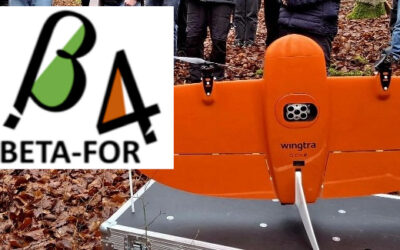
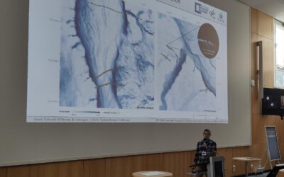
New Project: Multi-Scale Remote Sensing in DFG Project BETAFOR 2nd phase
We are pleased to share that our team is now officially part of the second phase of the DFG-funded project BetaFOR. In this context, Tobias Ullmann has joined the project as EO PI, the project consortium is led by Jörg Müller, and we will contribute our expertise in...