
New publication on quantifying urban heat exposure at fine scale using citizen science measurements and remote sensing data
Researchers from the Earth Observation Center (EOC) of the German Aerospace Center (DLR) in Oberpfaffenhofen, the Company for Remote Sensing and Environmental Research (SLU) in Munich, the University of Augsburg, the Ulm University, and the University of Würzburg teamed up to relate outdoor and indoor air temperature measurements to area-wide geospatial data regarding summertime urban heat. The paper titled “Quantifying urban heat exposure at fine scale – modeling outdoor
and indoor temperatures using citizen science and VHR remote sensing” was just published in the Journal Urban Climate by Tobias Leichtle, Marlene Kühnl, Ariane Droin, Christoph Beck, Michael Hiete and Hannes Taubenböck.
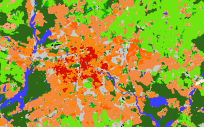
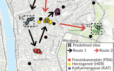
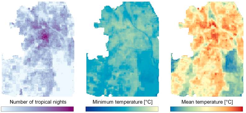
From the Abstract: Global warming and advancing urbanization lead to an increased heat exposure for city dwellers. Especially during summertime heatwaves, extreme daytime as well as high nighttime temperatures expose vulnerable people to potentially deadly heat risk. This applies specifically to indoor air temperatures, since people spend a lot of their time indoors. Against this background, this study relates outdoor and indoor air temperature measurements to area-wide geospatial data regarding summertime urban heat in the city of Augsburg, Germany. Air temperature data is collected from formalized as well as citizen science measurements, while remote sensing data with very-high spatial resolution (VHR) is utilized for assessment of their drivers and influencing factors. A land use regression approach is developed for city-wide modeling of outdoor and indoor air temperatures at the level of individual residential buildings. Daytime outdoor temperatures could be largely explained by vegetation parameters and imperviousness, whereas nighttime temperatures were more related to the building stock and radiation properties. For indoor temperatures, building density as well as building height and volume are additionally relevant. Outdoor air temperatures could be modeled with higher accuracies (mean absolute error (MAE) < 0.5 ◦C) compared to indoor temperatures (MAE < 1.5 ◦C), whereas outdoor and indoor modeling results are consistent with well-known patterns across different local climate zones (LCZ).
Read the full article here: https://www.sciencedirect.com/science/article/pii/S2212095523001165