I’m happy to share my newest publication on “Quantifying the Response of German Forests to Drought Events via Satellite Imagery” in the open access journal Remote Sensing by MDPI together with my co-authors Martin Wegmann and Carina Kübert-Flock.
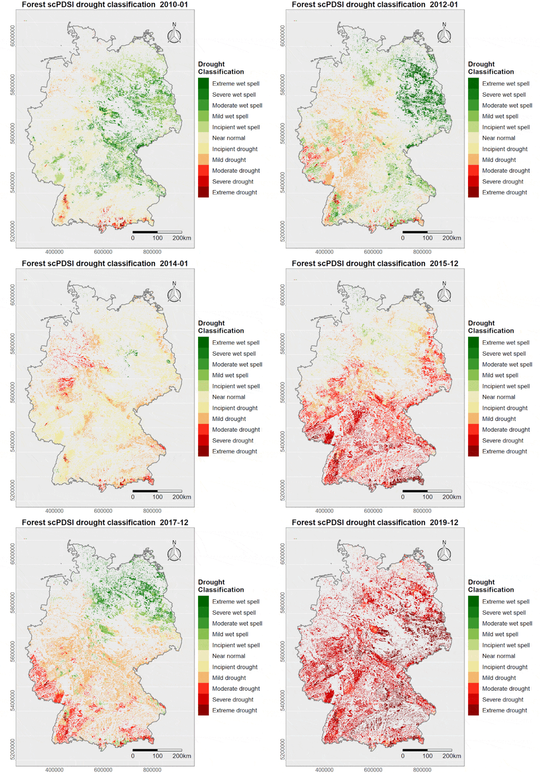
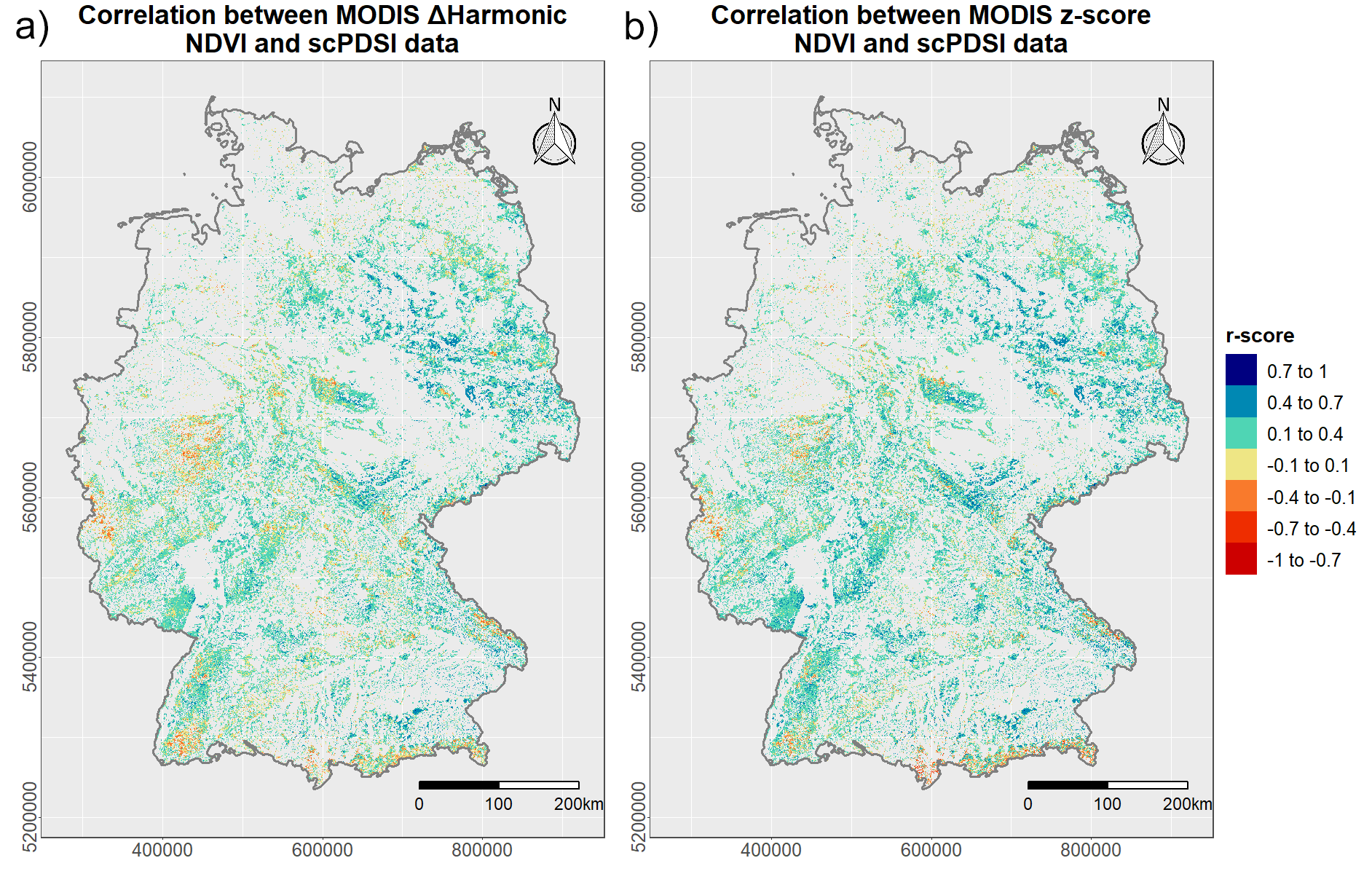
From the abstract: “Forest systems provide crucial ecosystem functions to our environment, such as balancing carbon stocks and influencing the local, regional and global climate. A trend towards an increasing frequency of climate change induced extreme weather events, including drought, is hereby a major challenge for forest management. Within this context, the application of remote sensing data provides a powerful means for fast, operational and inexpensive investigations over large spatial scales and time. This study was dedicated to explore the potential of satellite data in combination with harmonic analyses for quantifying the vegetation response to drought events in German forests. The harmonic modelling method was compared with a z-score standardization approach and correlated against both, meteorological and topographical data. Optical satellite imagery from Landsat and the Moderate Resolution Imaging Spectroradiometer (MODIS) was used in combination with three commonly applied vegetation indices. Highest correlation scores based on the harmonic modelling technique were computed for the 6th harmonic degree. MODIS imagery in combination with the Normalized Difference Vegetation Index (NDVI) generated hereby best results for measuring spectral response to drought conditions. Strongest correlation between remote sensing data and meteorological measures were observed for soil moisture and the self-calibrated Palmer Drought Severity Index (scPDSI). Furthermore, forests regions over sandy soils with pine as the dominant tree type were identified to be particularly vulnerable to drought. In addition, topographical analyses suggested mitigated drought affects along hill slopes. While the proposed approaches provide valuable information about vegetation dynamics as a response to meteorological weather conditions, standardized in-situ measurements over larger spatial scales and related to drought quantification are required for further in-depth quality assessment of the used methods and data.”

Full Article: Philipp, M.; Wegmann, M.; Kübert-Flock, C. Quantifying the Response of German Forests to Drought Events via Satellite Imagery. Remote Sens. 2021, 13, 1845. https://doi.org/10.3390/rs13091845


