new QGIS plugin and R package

new QGIS plugin and R package

m

November 15, 2023

our EAGLE student Konstantin Müller created a QGIS plugin and a corresponding R package for easy point density vizualisation. Create way to learn how to build QGIS plugins and R package for spatial analysis.

QGIS plugin:

  • The Bestagon QGIS plugin allows easy density visualizations for points and also lines since the newest version. Through a simple UI and background threading it holds up to most plugins available and makes density visualization fast and reliable. https://github.com/KonstiDE/Bestagon

Formizer R plugin

  • The Formizer R plugin mirrors what Bestagon does in QGIS, however, in R. Due to more self-made grids and algorithms, density visualizations are fast and easy, as well as uniquely customizable. Moreover, it provides exemplary data and 3d plot options. https://github.com/KonstiDE/FormizeR

you may also like:

Visit at the Institute for Geoinformatics (IFGI) at University of Münster

Visit at the Institute for Geoinformatics (IFGI) at University of Münster

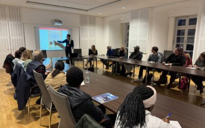
Two days ago, our PostDoc Dr. Jakob Schwalb-Willmann visited the Institute for Geoinformatics at University of Münster to give a talk at IFGI’s GI Forum titled “Can animals be used to classify land use? Employing movement-tracked animals as environmental informants using deep learning”.

EOCap4Africa training in Ruhengeri

EOCap4Africa training in Ruhengeri

This week, over 25 students are attending a training session at the Institute of Applied Sciences (INES) in Ruhengeri, Rwanda, using the MSc module on Remote Sensing for Biodiversity Conservation that we developed. This module is part of the EOCap4Africa project...

Privacy Policy

Lehrstuhl für Fernerkundung & Lehrstuhl für Urbane Fernerkundung

Erdbeobachtung an der Universität Würzburg