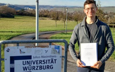
Sebastian joined the the new Earth Observation Research Hub in October and shares his gained knowledge about SAR theory, processing and applications within several courses of our EAGLE M.Sc. program as well as gives hands-on introductions to GIS software and remote sensing analysis in the B.Sc. Geography program.
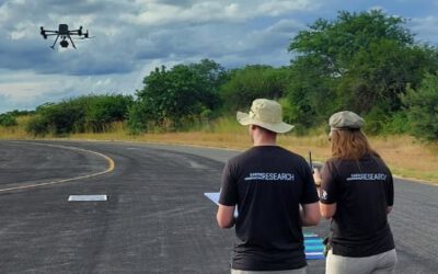
He also finishes his PhD, where he investigates the potential of SAR time series data for monitoring periglacial processes in alpine environments. One main goal is analysing displacement rates of rock glaciers derived from Differential SAR Interferometry (DInSAR), comparing the results with UAS derived information and combining them with in situ geophysical measurements. Besides, he uses SAR time series to detect and assess the timing of snowmelt (link to Publikation & GEE showcase).
Before starting his PhD, Sebastian did his Bachelor in Geography with a minor in Experimental Physics at the University of Munich (LMU). During that period, he also worked as a student assistant at the Radar Institute of DLR (DLR-HR) and got fascinated by SAR remote sensing. He then joined the EAGLE M.Sc. program in Wuerzburg to deepen his EO knowledge and finished the master with his thesis about the detection of snow cover using SAR time series and orthorectified time-lapse imagery.
see his contact page for more details: https://www.geographie.uni-wuerzburg.de/en/fernerkundung/staff/sebastian-buchelt-msc/