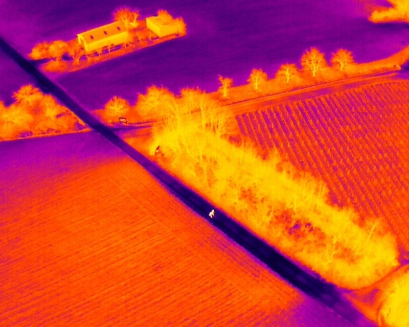
The first flyable days of the new year were used to train our new staff members Elio Rauth and Baturalp Arisoy in UAS data collection. We are happy that both will join the EORC UAS team. Dr. Mirjana Bevanda explained them the different systems and payloads, from small UAS systems up to large M600 or VTOL systems. Also the different payloads, multi-spectral, thermal and Lidar, were introduced, including their specific properties. However, the actual flight mission planning and sensor geometry settings were the focus of this day, in order to take advantage of the good weather. Our new pilots started with small Mavic multi-spectral and thermal systems and will progress in the next weeks and months to the larger systems to cover 700ha and more. Actual experiences are critical within UAS data collection, hence Elio and Baturalp will assist in actual field data collections and analysis of on-going projects from Antonio, Jakob and Mirjana to be able to take over the responsibility to fly within their own study sites soon.
Starkregenereignisse treten immer häufiger lokal, kurzfristig und mit hoher Intensität auf. Innerhalb weniger Stunden können sie erhebliche Überschwemmungen und Schäden verursachen. Um solche Ereignisse künftig besser zu verstehen und die wissenschaftliche Grundlage...
Lidar has a funny way of sneaking up on you. You think you know what it is, a laser that measures distance, fine, but then someone shows you a point cloud of a forest canopy with individual branches floating in 3D space and suddenly you realize there's a whole...
A bit of extra excitement at EORC recently, an RTL television crew showed up to film a segment on the MONID Habitrack project, and Dr. Ariane Droin was right in the middle of it, walking them through what Earth Observation actually brings to the table for a project...
Forest edges are tricky places. They're where woodland meets open ground, where light and shade trade off every few meters, and where, it turns out, ticks tend to do really well. That last bit is exactly why Dr. Ariane Droin, Sofica Garcia de Leon, Dr. Jakob...
Walk through any city and you pick up on things that are hard to put a number on. The noise of a main road, the heat that sits between buildings in summer, the question of whether that little park around the corner is really enough green space for the whole...
Anyone who's tried to do geospatial work across the whole island of Ireland knows the headache. Ireland is one island geographically, but it's split across two jurisdictions, the Republic and Northern Ireland, and each one runs its own data infrastructure. Different...
We use cookies to ensure that we give you the best experience on our website. If you continue to use this site we will assume that you are happy with it.