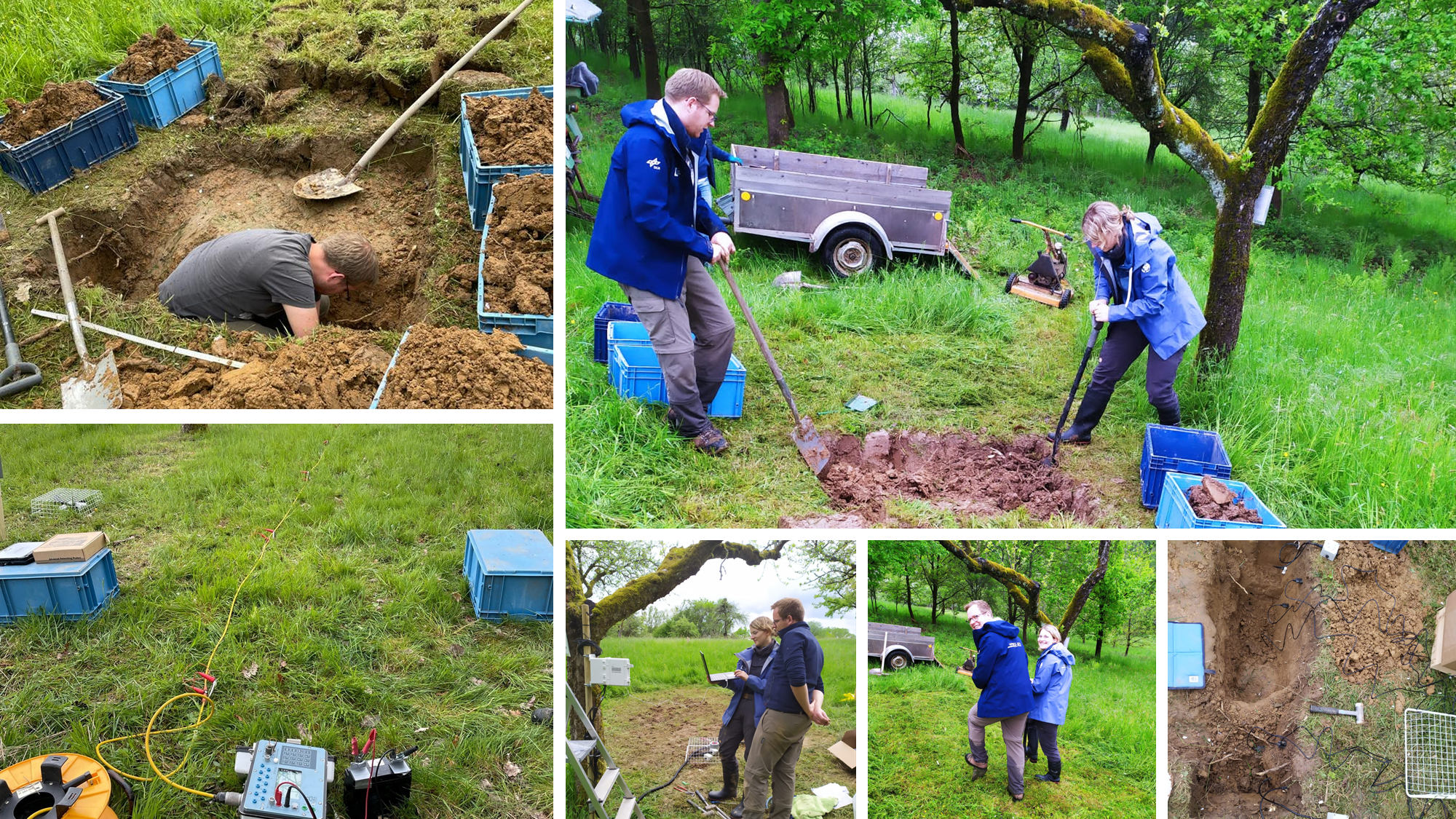
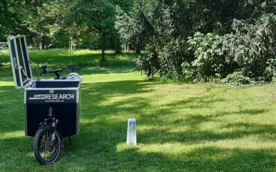
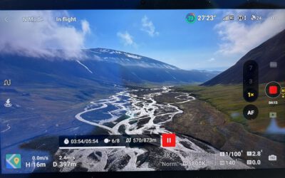
Our Earth Observation Hub – in cooperation with the physical geography Department (apl. Prof. Christof Kneisel) investigates orchard meadows regarding climate change-induced drought stress in northern Bavaria. Therefore, remote sensing techniques using LiDAR and multispectral drones and satellite data to capture vegetation structures, microtopography and vitality status are combined with geophysical methods. We started an ERT-Monitoring to study soil water dynamics during growing season. Additional sensors were installed to measure volumetric water content, temperature and water tension in different soil depths.

