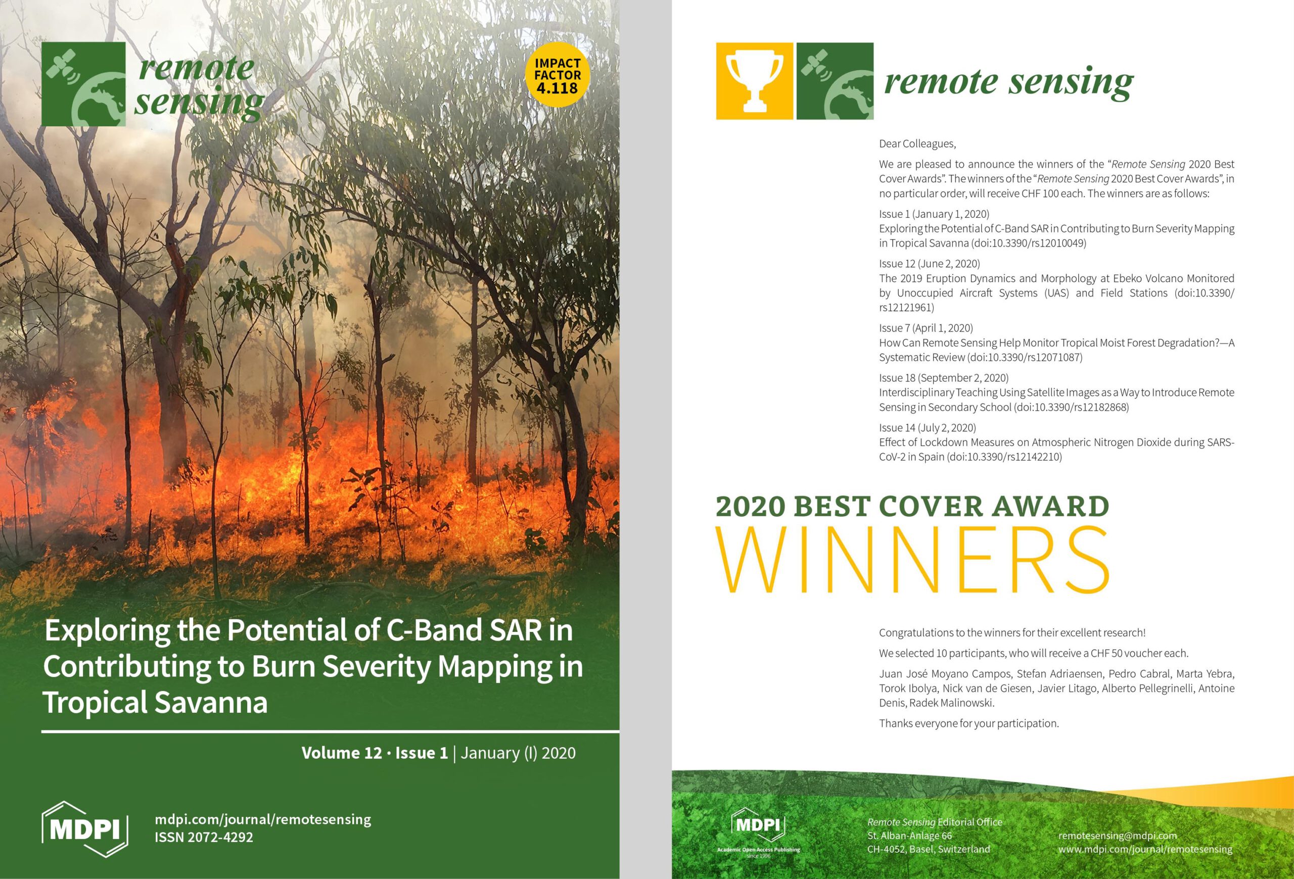
I’m pleased to share that one of my articles “Exploring the Potential of C-Band SAR in Contributing to Burn Severity Mapping in Tropical Savanna”, co-authored by Shaun Levick, is among the winners of the “Remote Sensing 2020 Best Cover Award“.
From the abstract: “The ability to map burn severity and to understand how it varies as a function of time of year and return frequency is an important tool for landscape management and carbon accounting in tropical savannas. Different indices based on optical satellite imagery are typically used for mapping fire scars and for estimating burn severity. However, cloud cover is a major limitation for analyses using optical data over tropical landscapes. To address this pitfall, we explored the suitability of C-band Synthetic Aperture Radar (SAR) data for detecting vegetation response to fire, using experimental fires in northern Australia. Pre- and post-fire results from Sentinel-1 C-band backscatter intensity data were compared to those of optical satellite imagery and were corroborated against structural changes on the ground that we documented through terrestrial laser scanning (TLS). Sentinel-1 C-band backscatter (VH) proved sensitive to the structural changes imparted by fire and was correlated with the Normalised Burn Ratio (NBR) derived from Sentinel-2 optical data. Our results suggest that C-band SAR holds potential to inform the mapping of burn severity in savannas, but further research is required over larger spatial scales and across a broader spectrum of fire regime conditions before automated products can be developed. Combining both Sentinel-1 SAR and Sentinel-2 multi-spectral data will likely yield the best results for mapping burn severity under a range of weather conditions.”
Full article: Philipp, M.B.; Levick, S.R. Exploring the Potential of C-Band SAR in Contributing to Burn Severity Mapping in Tropical Savanna. Remote Sens. 2020, 12, 49. https://doi.org/10.3390/rs12010049

