Orfeo Toolbox covered in our courses

Orfeo Toolbox covered in our courses

m

December 19, 2024

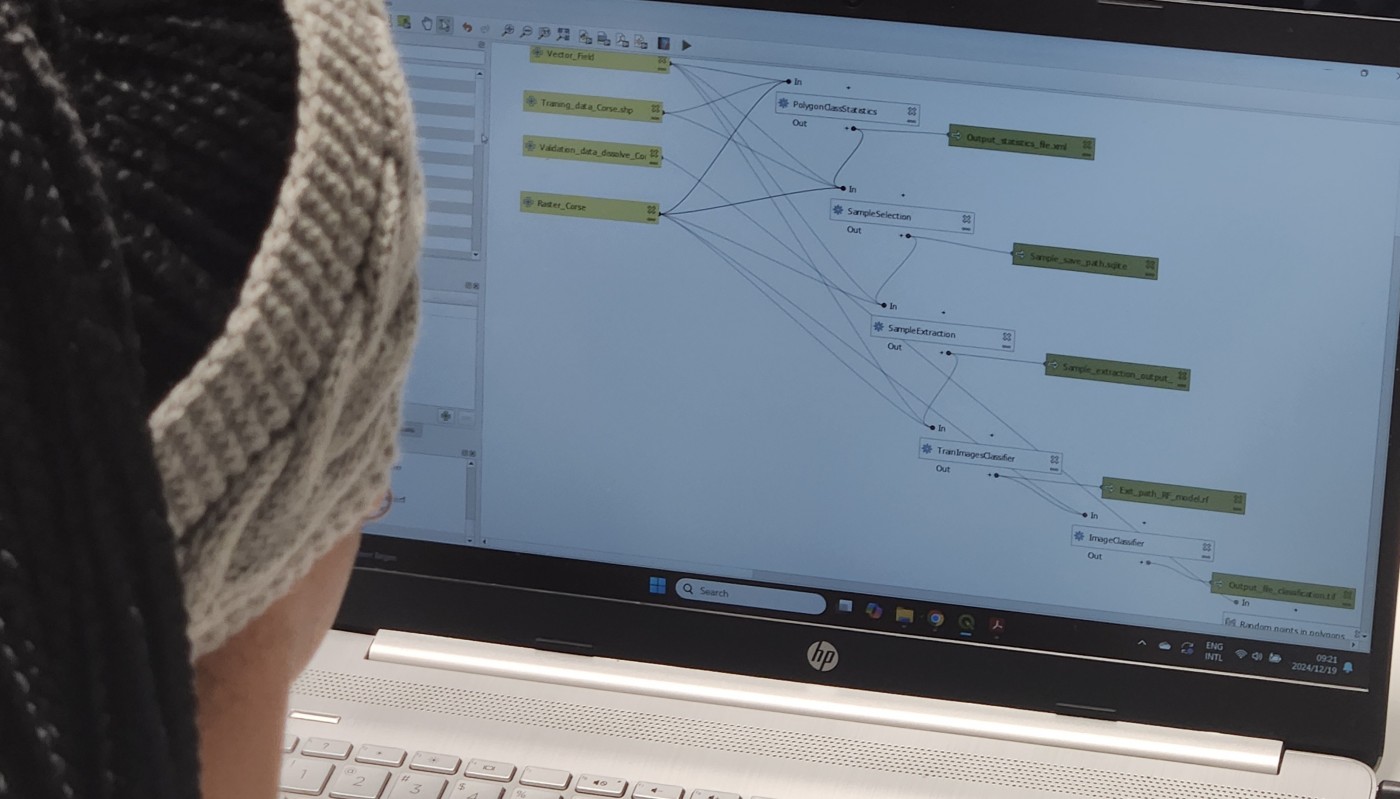
As part of our international EAGLE MSc courses, we include comprehensive training on the powerful Orfeo Toolbox (OTB) software. OTB is an open-source library for processing remote sensing imagery, offering advanced algorithms for tasks such as image segmentation, classification, change detection, and feature extraction. It supports high-dimensional data and is designed to handle large-scale Earth observation datasets efficiently.

Our students gain hands-on experience with a wide range of software, empowering them to understand the strengths, limitations, and optimal applications of various tools and programming environments. This holistic approach enables them to select the best tools for their scientific research and projects.

In the coming weeks, students will also delve into other advanced tools, including Whitebox Tools, a modern open-source geospatial analysis platform; SAGA GIS, known for its robust geoscientific analysis capabilities; and they’ll learn to develop custom QGIS plugins, expanding their technical expertise further.

By the end of the program, students are equipped with a comprehensive skill set, enabling them to tackle diverse geospatial challenges with confidence.

you may also like:

PhD position: Earth Observation of drought and fire impacts

PhD position: Earth Observation of drought and fire impacts

Job Announcement: PhD Position on EO research of Drought, Fire and Vegetation in Kruger National Park, South Africa Position: PhD ResearcherStudy Area: Kruger National Park, South AfricaApplication Deadline: until position is filledStart Date: as soon as possible...

Visit to Seestadt Aspern in Vienna

Visit to Seestadt Aspern in Vienna

Vienna's Seestadt Aspern is one of the current largest urban development areas in Europe. By the 2030s, a brand new city will be fully completed in the east of Vienna. Living space for more than 25,000 people and over 20,000 jobs, education, and formation...

Exchange with colleagues from AIT Austrian Institute of Technology

Exchange with colleagues from AIT Austrian Institute of Technology

On 16 January 2025, Ariane Droin, Henri Debray and Hannes Taubenböck from EORC and the EOC of DLR were invited to the AIT Austrian Institute of Technology GmbH in Vienna as part of the UrbanSky project. The Urban Sky research project is carrying out a needs and...

Empowering Students with SAGA GIS for Environmental Applications

Empowering Students with SAGA GIS for Environmental Applications

At EAGLE Earth Observation, we are committed to equipping our students with the tools and knowledge needed to excel in the field of environmental science. As part of this effort, our students are exploring the power of various scientific open-source software packages...

EUSI meets GZS

EUSI meets GZS

Following the European Space Imaging Conference (EUSI) in December 2024 (DLR and EORC contributed to the conference. We reported on this – please see here: https://remote-sensing.org/keynote-presentation-at-eusi-conference-2024/), the long-standing partners met...

Privacy Policy

Lehrstuhl für Fernerkundung & Lehrstuhl für Urbane Fernerkundung

Erdbeobachtung an der Universität Würzburg