


We are thrilled to share the amazing achievements of our talented students who recently completed their scientific presentation course with flying colors. Our eagles had the exciting opportunity to introduce over 100 BSc students to the world of remote sensing, showcasing a wide array of innovative applications with great success.
The presentations were not only informative but also visually stunning, with each presenter demonstrating a deep understanding of Earth observation technologies like LiDAR and remote sensing (Sentinel 1, 2, 3, and 5P). From fire mapping to analyzing urban green spaces, our students made complex concepts accessible and engaging. They skillfully connected theory with real-world applications, highlighting how remote sensing technologies are transforming fields such as environmental monitoring and urban planning.
What stood out the most was the professionalism and creativity displayed by all presenters. Their ability to present technical content in an engaging manner is truly commendable. The use of visuals and practical examples helped to demystify these technologies and showcase their potential in addressing pressing global challenges. The presentations were not only educational but also inspiring, demonstrating the impact that Earth observation tools can have on our world.
We are incredibly proud of how our eagles have stepped up and shown what they are capable of. Their hard work, attention to detail, and enthusiasm made the course a resounding success. We hope that they continue to develop their presentation skills in the years to come, setting new standards for excellence in both content and delivery.
As they embark on their future careers, we have no doubt that these students will continue to inspire and innovate in the field of remote sensing. Well done to all who participated—we look forward to seeing where your talents take you next!
you may also like:

EORC and EAGLE summer BBQ
We’re happy to announce that our summer BBQ is happening again on Thursday, July 24th at 4pm! Alongside good food and a relaxed atmosphere, we’re also hosting a series of short talks highlighting exciting topics in Earth Observation and environmental science: “The...
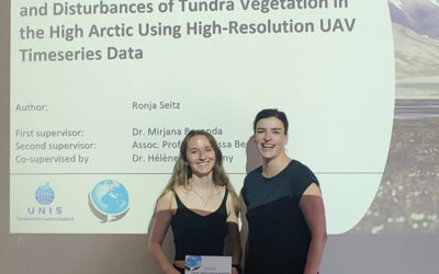
Successful MSc Thesis Defense by Ronja Seitz on UAV-Based Monitoring of High-Arctic Tundra Dynamics
We warmly congratulate Ronja Seitz on the successful defense of her MSc thesis, which tackled one of the most pressing environmental challenges of our time: the rapid warming of the high Arctic. Her research focused on Svalbard, one of the fastest-warming regions on...
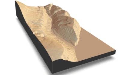
🗺 Exploring Map Visualizations
Within our EAGLE courses our students have to learn a wide variety of skills - beside the fundamental earth observation theory and practice also skills like map creation is part of the curriculum. One of our students Ronja Seitz has created three visualizations guides...
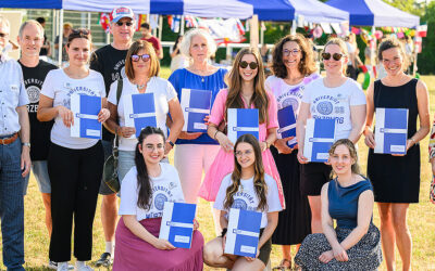
Successful Completion of UNIversInternational Certificate
In line with its internationalization strategy, the University of Würzburg supports administrative staff in their task of advising and supporting international students, guests, and academics. To this end, it has launched the "UNIversInternational" certificate...

The “Geolingual Studies” team visited the DLR EOC
The "Geolingual Studies" team of the University Würzburg visited the DLR-EOC on 3 and 4 July 2025. Geolingual Studies is an innovative area of research and teaching which takes a decisively applied linguistic approach and combines methodologies from linguistics,...
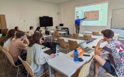
Course on Object-based image analysis
Dr. Michael Wurm from the German Aerospace Center (DLR) gave a class about Object-based image analysis (OBIA) using the eCognition Software for the EAGLE students. The course gives an insight into the theoretical basis of OBIA and using different datasets and tasks...