![]() The Department of Remote Sensing invited applications for a PhD position starting from January, 1st 2015 for a period of 3 years. The successful candidate will conduct her/his PhD in the project “Assessing Land Value Changes and Developing a Discussion-Support-Tool for Improved Land Use Planning in the Irrigated Lowlands of Central Asia” funded by the Volkswagen Foundation. Focus will be on analysis of spatial and socio economic drivers of land use change in the downstream regions in Central Asia (Uzbekistan and Kazakhstan).
The Department of Remote Sensing invited applications for a PhD position starting from January, 1st 2015 for a period of 3 years. The successful candidate will conduct her/his PhD in the project “Assessing Land Value Changes and Developing a Discussion-Support-Tool for Improved Land Use Planning in the Irrigated Lowlands of Central Asia” funded by the Volkswagen Foundation. Focus will be on analysis of spatial and socio economic drivers of land use change in the downstream regions in Central Asia (Uzbekistan and Kazakhstan).
LaVaCCA Project Description:
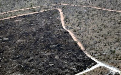
Immense losses of land productivity have been observed on eight million hectares of irrigated agricultural land in Central Asia (CA) during the past decades. Especially the irrigated lowlands of the Amu Darya and Syr Darya Rivers are affected by land degradation (LD) problems. One major shortcoming in the attempt to combat LD is the generally lack of spatially explicit data, especially after the breakdown of the Soviet Union. The proposed research addresses the identification of hotspots of decreasing land production (e.g. crop yield) and gaining knowledge about the drivers of change in land production and LD by analysing socio-economic and ecological indicators. A strong methodological focus is set on remote sensing, geographical information systems (GIS), indicator systems, and land use modelling. The generated information will be bundled in cooperation with the project partners and presented as a tool of discussion support for politicians and decision makers in their efforts to increase food security and combat environmental degradation in the irrigated areas of CA.
Further information:
Application is already closed!