Rayshader based maps

Rayshader based maps

m

February 27, 2023

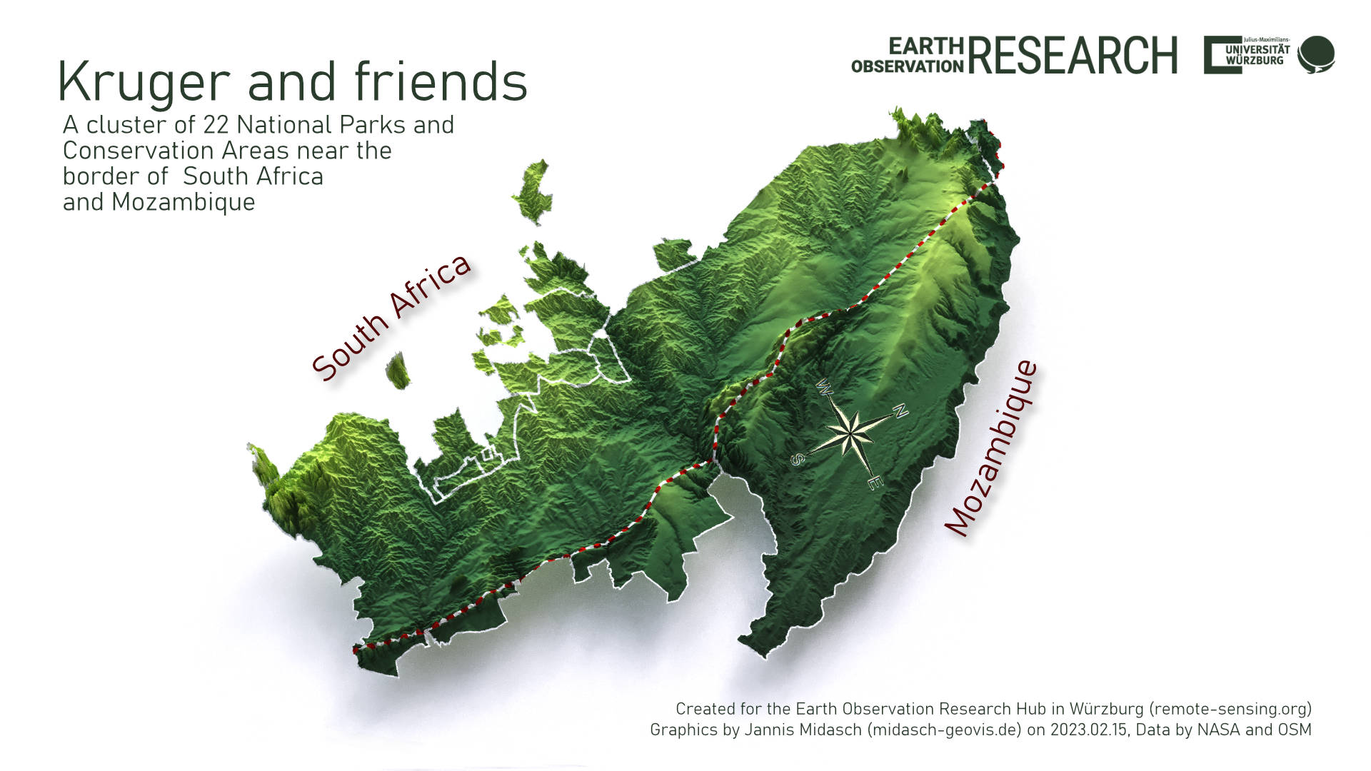
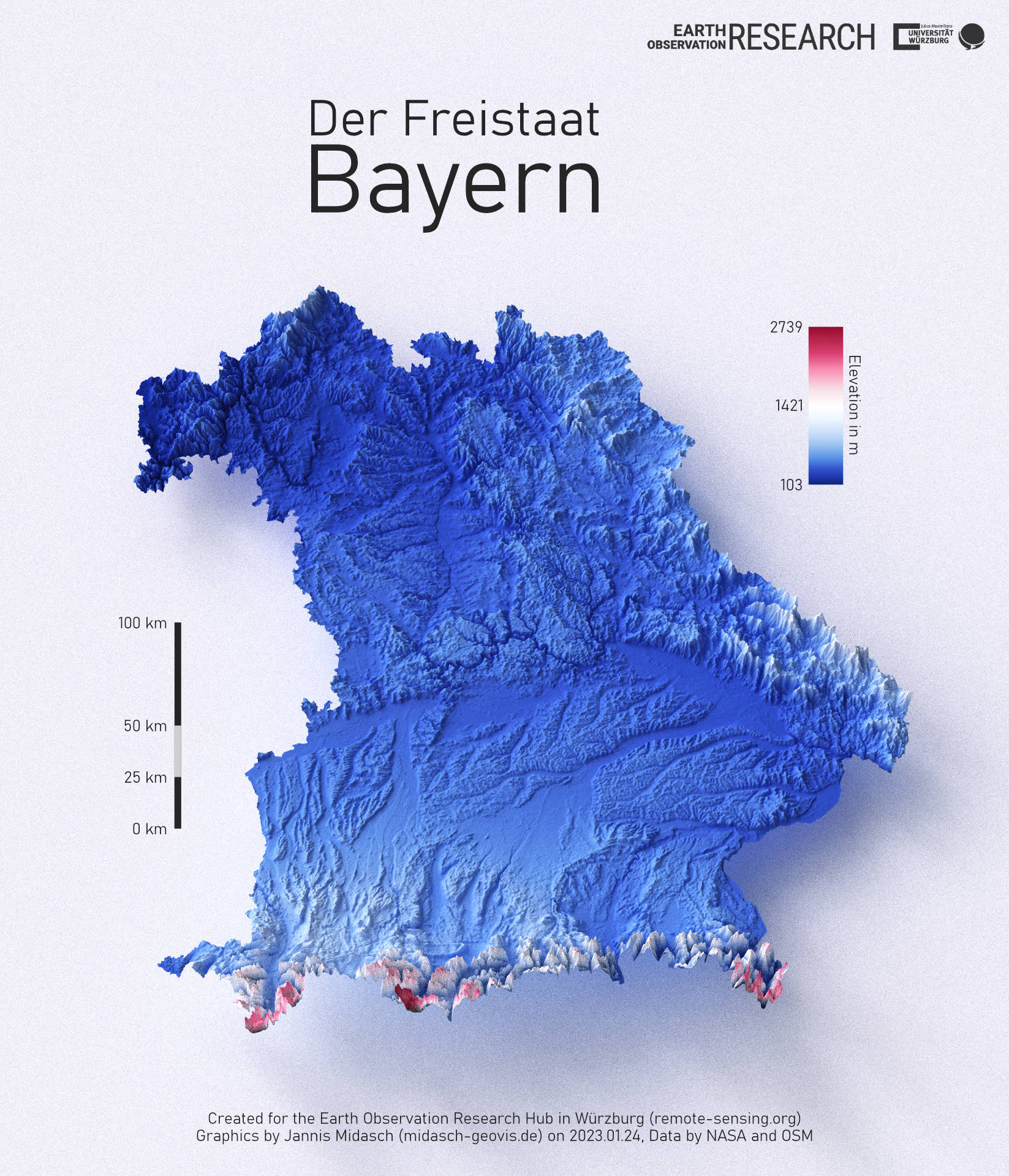
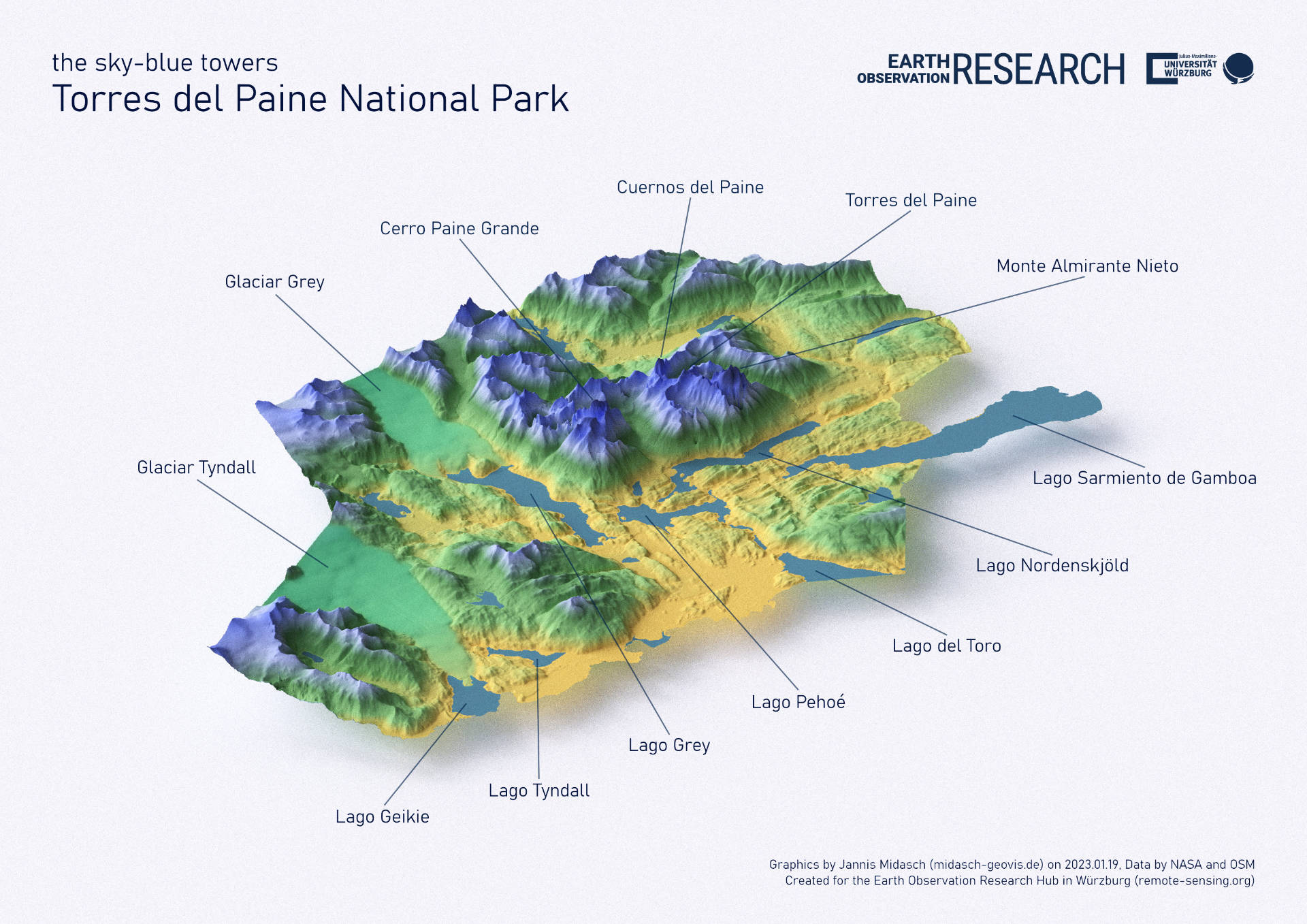
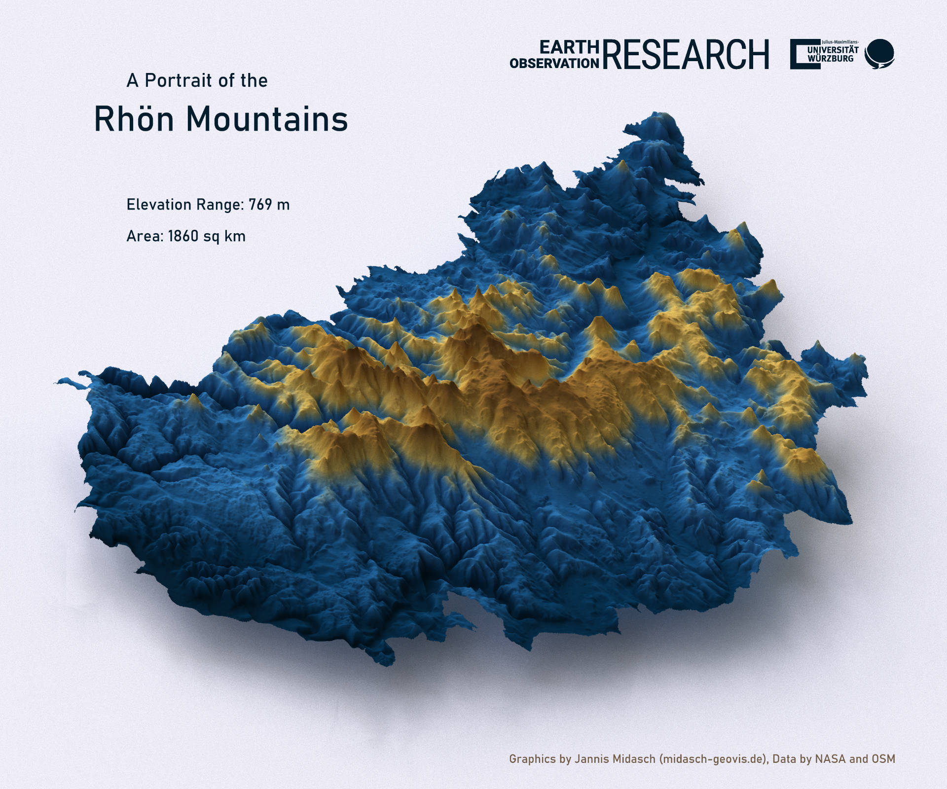
Our intern Jannis Midasch worked on various topics, from Data Cube, to webpage interfaces, QGIS plugins development or UAS Lidar data collection and visualization. And one topic was also the visualization of study areas we are working in using the great rayshader R package. He ran a first series of trials for maps and is now working as student assistant to add more features in the map e.g. concrete earth observation results and of course time-series data. Hence, these maps are just the start and more it to be expected in the next weeks and months.

check out the code for some of the graphics on his git: https://github.com/JMidasch/rayshader-templates

you may also like:

EOCap4Africa training in Kumasi

EOCap4Africa training in Kumasi

Today, we launched the testrun for our MSc module on Remote Sensing for Biodviversity Conservation which forms part of the EOCap4Africa project (funded by the Federal Agency of Nature Conservation) at the Kwame Nkrumah University of Science and Technology (KNUST) in...

Final workshop on research project OptiPlan

Final workshop on research project OptiPlan

Final workshop on research project OptiPlan (Ein innovatives KI-basiertes Planungstool zur Verkehrserfassung für nachhaltiges Flächenmanagement mittels Kamera- und Satellitenbilddaten)On September 19, 2025, the consortium of the OptiPlan project (German Aerospace...

Visit of ERASMUS+ partner Dr. Henno Havenga

Visit of ERASMUS+ partner Dr. Henno Havenga

 We were honored to welcome Dr. Henno Havenga from the North-West University (Potchefstroom, South Africa) to our EORC as part of the ERASMUS+ KA 171, a collaborative initiative aimed at fostering academic exchange and innovation. The visit provided a valuable...