Our PhD student Alexandra Bell recently published a review on “Scientific Evidence from Space—A Review of Spaceborne
Remote Sensing Applications at the Science–Policy Interface” in cooperation with colleaques from the German Aerospace Center (DLR) in Remote Sensing. This work was conducted within our project WASCAL-DE-Coop.
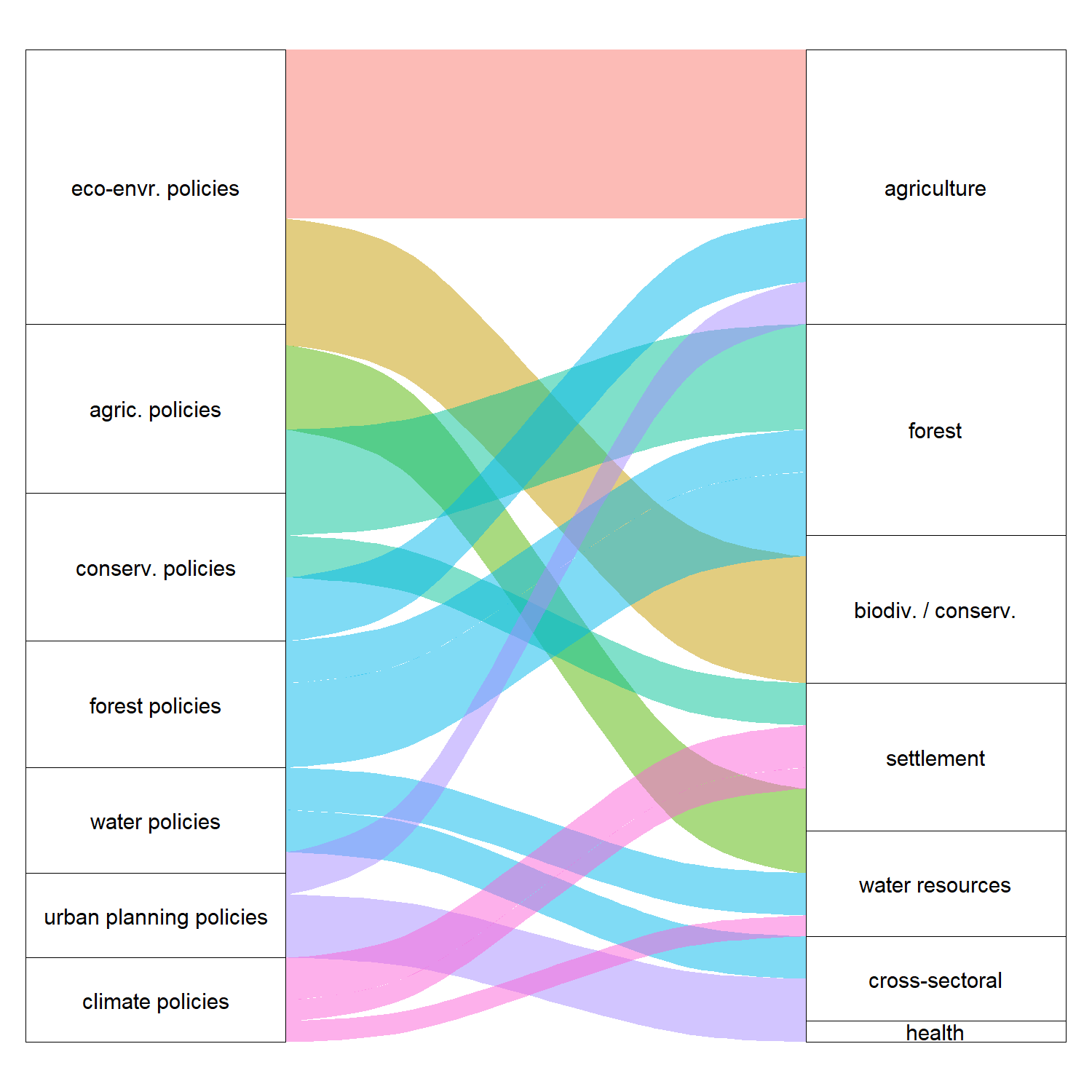
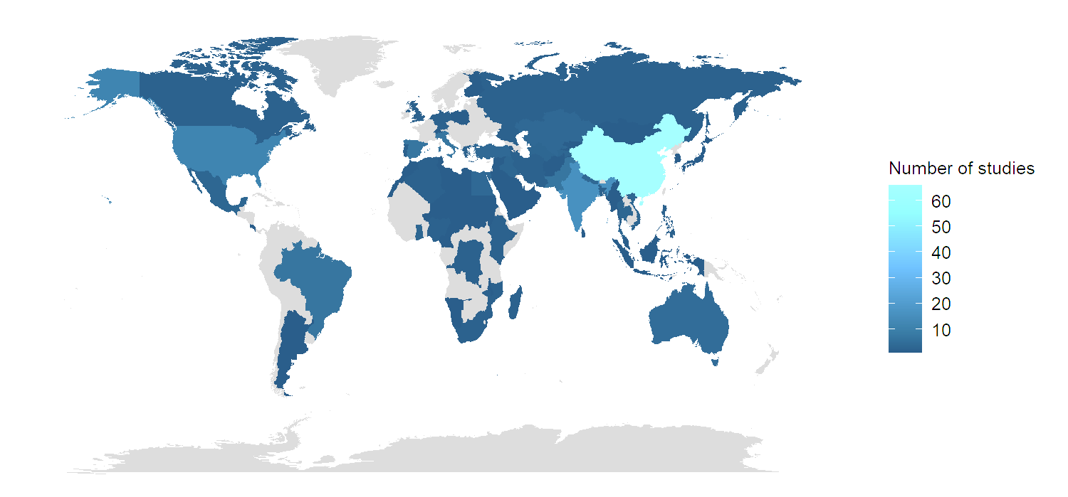
From the abstract: On a daily basis, political decisions are made, often with their full extent of impact being unclear. Not seldom, the decisions and policy measures implemented result in direct or indirect unintended negative impacts, such as on the natural environment, which can vary in time, space, nature, and severity. To achieve a more sustainable world with equitable societies requires fundamental rethinking of our policymaking. It calls for informed decision making and a monitoring of political impact for which evidence-based knowledge is necessary. The most powerful tool to derive objective and systematic spatial information and, thus, add to transparent decisions is remote sensing (RS). This review analyses how spaceborne RS is used by the scientific community to provide evidence for the policymaking process. We reviewed 194 scientific publications from 2015 to 2020 and analysed them based on general insights (e.g., study area) and RS application-related information (e.g., RS data and products). Further, we classified the studies according to their degree of science–policy integration by determining their engagement with the political field and their potential contribution towards four stages of the policy cycle: problem identification/knowledge building, policy formulation, policy implementation, and policy monitoring and evaluation. Except for four studies, we found that studies had not directly involved or informed the policy field or policymaking process. Most studies contributed to the stage problem identification/knowledge building, followed by ex post policy impact assessment. To strengthen the use of RS for policy-relevant studies, the concept of the policy cycle is used to showcase opportunities of RS application for the policymaking process. Topics gaining importance and future requirements of RS at the science–policy interface are identified. If tackled, RS can be a powerful complement to provide policy-relevant evidence to shed light on the impact of political decisions and thus help promote sustainable development from the core.
The link to the full paper: https://www.mdpi.com/2072-4292/15/4/940/pdf


