


follow us and share it on:
you may also like:
🦅 Don’t Miss the EAGLE M.Sc. Application Deadline – May 15
The deadline to apply for the EAGLE M.Sc. “Applied Earth Observation and Geoanalysis of the Living Environment” program is approaching quickly - applications must be submitted before midnight May 15th (CEST) for a winter term start in October. Located at our EORC at...
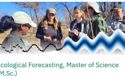
Remote Sensing meets Ecological Forecasting: A New ENB MSc at the University of Bayreuth
We would like to share that we are contributing to a newly launched Master of Science programme in Ecological Forecasting at the University of Bayreuth. The programme is supported by the Elite Network of Bavaria (ENB) and represents a valuable step toward...

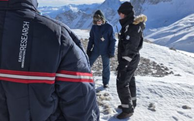
Easter Egg detection? No – UAV and satellite imagery derived grainsize estimates!
No, this is not our latest UAV based Easter egg detection system even though it would fit the season. This is a snapshot of the Master thesis of EAGLE student Leonie Sonntag who is using high resolution UAV imagery of gravel bars at the Naryn River in Kyrgyzstan to...
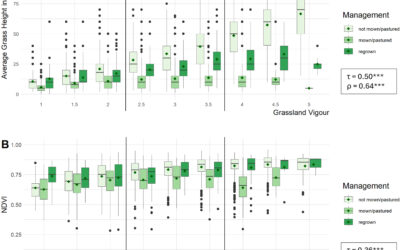
New Publication: Evaluating LUCAS in-situ and Sentinel data for grass height and vigour of vegetation in Europe
New publication led by our EORC team member Daniel Gruschwitz, together with colleagues from the European Commission (Joint Research Centre (JRC) and Agriculture & Rural Development (DG AGRI)) in the journal "Remote Sensing Applications: Society and Environment"....
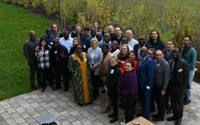
NetCDA Extended for Three More Years: A Strong Commitment to Sustainable Climate Research and Capacity Building in West Africa
Our project NetCDA – European Academic Network for Capacity Development in Climate Change Adaptations in Africa project led by Dr. Michael Thiel has been extended for an additional three years! Over the past two years, NetCDA has demonstrated an impactful close...
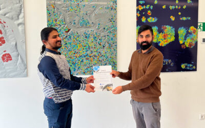
Successful MSc Defense: Developing a Farmland Habitat Biodiversity Indicator for Bavaria
On March 31, 2026, Suriya Elango successfully defended his Master’s thesis at the Earth Observation Research Cluster (EORC), University of Würzburg. His work addressed a question that is becoming increasingly important across Europe: how can biodiversity in...