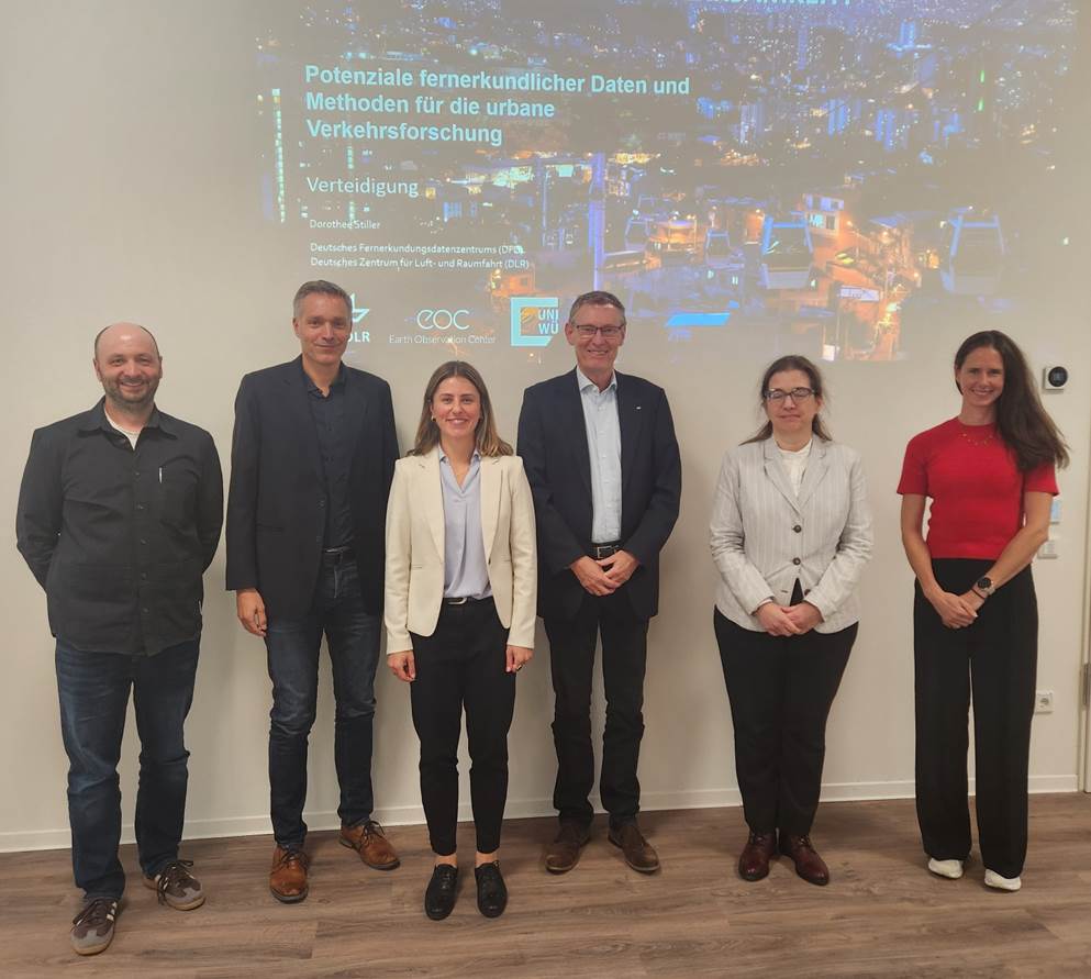
We congratulate Dorothee Stiller from the Earth Observation Center (EOC) of the German Aerospace Center (DLR) on her successful defense of her PhD thesis at the JMU.
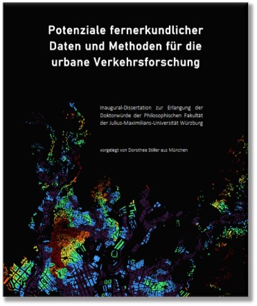
The thesis is titled “Potentiale fernerkundlicher Daten und Methoden für die urbane Verkehrsforschung” [engl. Potential of Remote Sensing Data and Methods for Urban Transport Research]. Dorothee explored how remote sensing data and open geospatial datasets, in combination with modern methods for analyzing urban structures and mobility patterns, can be used to reduce or close existing data gaps – and to what extent this can contribute to sustainable urban development.
Here is the abstract of the PhD-Thesis: Transport is a fundamental component of urban life. Urban mobility ensures access to key urban functions – such as employment, education, and healthcare – and thus plays a crucial role in promoting social inclusion. However, ongoing urbanization and steadily increasing traffic volumes present significant challenges for cities worldwide. High transport demand, coupled with dense population and expansive urban growth, leads to competition for limited space, bottlenecks in transport system capacity, adverse environmental impacts such as air pollution and noise, and associated social and health burdens. In this context, innovative technologies such as remote sensing and open geospatial data are becoming increasingly important, as they enable data-driven analyses that provide a sound foundation for urban and transport planning.
The primary objective of this dissertation is to explore how remote sensing data and open geospatial datasets, in combination with modern methods for analyzing urban structures and mobility patterns, can be used to reduce or close existing data gaps – and to what extent this can contribute to sustainable urban development.
This dissertation is divided into three main sections: The first focuses on deriving transport relevant urban spatial structures – specifically buildings, land use, and population – from remote sensing and publicly available geodata. Using the example of Santiago de Chile, a deep-learning based method for building segmentation was developed and successfully transferred to Medellín, Colombia. Combined with remote sensing-based elevation models, a high-resolution 3D building model was generated and semantically enriched using OpenStreetMap data and street-view imagery. This enabled the development of a multimodal approach for mapping urban spatial structure and for estimating population distribution at fine spatial scales, offering new perspectives for data-scarce regions.
The second part of the dissertation centers on the analysis of public transport accessibility. The analysis focuses on Sustainable Development Goal (SDG) Indicator 11.2, which addresses accessibility as well as related issues of social and spatial equity. Using the case of Medellín, the study investigates how various population datasets – including remote sensing-based and globally available data – can be leveraged to assess accessibility. The results show that semi-formal transport systems such as the local minibuses play a key role in improving accessibility. At the same time, the analysis highlights that socioeconomically disadvantaged groups often face significantly longer walking distances to formal public transport stops. These findings reveal persistent spatial and social inequalities and underscore the potential of remote sensing and geospatial data to serve as a valuable information base for enhancing data availability in transport planning.
The third part of the dissertation explores the potential of publicly accessible webcam data as a remote sensing-based approach for scalable and cost-effective traffic monitoring. Despite challenges such as variable image quality, the object detection model YOLOv8 was successfully applied to monitor road traffic. Applying the model to approximately 500,000 webcam images from Berlin, Germany, revealed significant changes in traffic volumes during the COVID-19 pandemic: motorized traffic decreased by 9.5 %, while bicycle traffic increased by 25.2 %. These findings emphasize the potential of open webcam data for efficient, large-scale traffic analysis that can complement traditional, more labor-intensive or costly methods.
Overall, the work presented in this dissertation demonstrates that the integration of modern technologies – such as remote sensing, open geospatial data, and deep learning – can provide a robust, data-driven foundation for analyzing urban structures. Moreover, this combination facilitates the collection of transport-relevant parameters, such as accessibility to public transport or automated traffic counts via webcams. The proposed approaches enable scalable, flexible, and cost-efficient data generation that can support sustainable, empirically grounded urban development and contribute to reducing social and spatial inequalities.
We would also like to refer to published papers related to her thesis:
- Does formal public transport serve the city well? The importance of semiformal transport for the accessibility in Medellín, Colombia https://journals.plos.org/plosone/article?id=10.1371/journal.pone.0321691
- Spatial parameters for transportation: A multi-modal approach for modelling the urban spatial structure using deep learning and remote sensing https://www.jtlu.org/index.php/jtlu/article/view/1855
- Efficiency of CNNs for Building Extraction: Comparative Analysis of Performance and Time https://ieeexplore.ieee.org/document/10144140
- Large-scale building extraction in very high-resolution aerial imagery using Mask R-CNN https://ieeexplore.ieee.org/abstract/document/8808977
- AI-Based Counting of Traffic Participants: An Explorative Study Using Public Webcams https://www.mdpi.com/2673-7590/5/3/87
- Instance Segmentation of Informal Buildings in Medellín for Assessing Population at Risk from Landslides https://ieeexplore.ieee.org/document/11076048