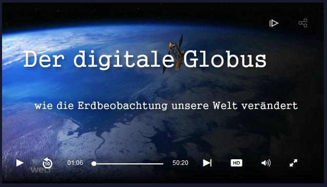
Yesterday evening, Welt, a German television news channel, was broadcasting a report called “Digital Globe – How Earth Observation changes our world“. Featuring animations created by our colleagues at DLR and ESA as well as several experts – including Stefan Dech (head of our Department) – the report shows how remote sensing helps gathering comprehensive information about our planet. The Copernicus program including Sentinel satellites is explained as well as techniques like RADAR, LiDAR and GPS. Learn about the applications of remote sensing here.
This post contains links to the websites of third parties (“external links”). As the content of these websites is not under our control, we cannot assume any liability for such external content. In all cases, the provider of information of the linked websites is liable for the content and accuracy of the information provided.


