


you may also like:

The “Geolingual Studies” team visited the DLR EOC
The "Geolingual Studies" team of the University Würzburg visited the DLR-EOC on 3 and 4 July 2025. Geolingual Studies is an innovative area of research and teaching which takes a decisively applied linguistic approach and combines methodologies from linguistics,...
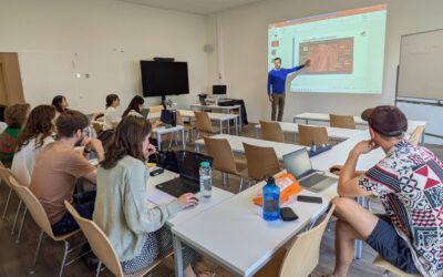
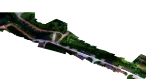
Course on Object-based image analysis
Dr. Michael Wurm from the German Aerospace Center (DLR) gave a class about Object-based image analysis (OBIA) using the eCognition Software for the EAGLE students. The course gives an insight into the theoretical basis of OBIA and using different datasets and tasks...
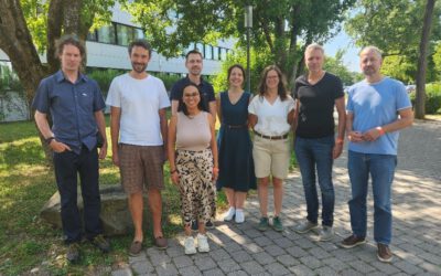
Strengthening Ties: Earth Observation Research Cluster Meets with DLR GZS Lecturers
Yesterday, members of our Earth Observation Research Cluster had the opportunity to connect with colleagues from DLR during the annual summer gathering of the DLR Earth Observation Center (EOC). The informal setting of the DLR EOC summer party provided a great...

PhD defense by Thilo Erbertseder
Thilo Erbertseder will defend his PhD thesis "Satellite-based analysis of NO2 air pollution: from global to urban aspect" on Wednesday 23rd of July at 3pm in John-Skilton Str. 4a, seminar room 1. All interested staff, students, family and friends are cordially invited...

upcoming PhD defense by Adomas Liepa
Our PhD student Adomas Liepa will defend his Phd "Potential of Satellite Earth Observation in seasonal monitoring of complex agricultural environments of East Africa" on Thursday 24th of July at 11am. The defense will take place at John Skilton Str. 4a, seminarroom 1....
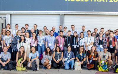
EORC Staff and EAGLE Students at ESA Living Planet Symposium 2025
This week, our EORC team and EAGLE MSc students are joining the global Earth observation community at the ESA Living Planet Symposium (LPS) 2025 — one of the most important gatherings for Earth system scientists, remote sensing experts, and space agencies worldwide....