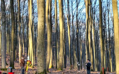
UAV or drone based multispectral, thermal and Lidar remote sensing.
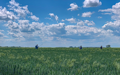
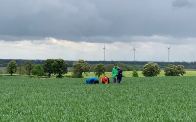
Bridging Scales: How Radar Satellites supports Crop Monitoring
In an era of climate uncertainty and increasing pressure on agricultural systems, understanding how crops grow and respond to environmental stress is more important than ever. A new study led by researchers from Martin-Luther-University Halle-Wittenberg, in close...