WASCAL Director of Research at the Department of Remote Sensing

WASCAL Director of Research at the Department of Remote Sensing

June 21, 2022

From 18th to 20th of June, the WASCAL Director of Research, Prof. Dr. Kehinde Ogunjobi, and the remote sensing expert at the WASCAL Competence Center (CoC), Dr. Kwame Hackman, paid a visit to the Department of Remote Sensing.

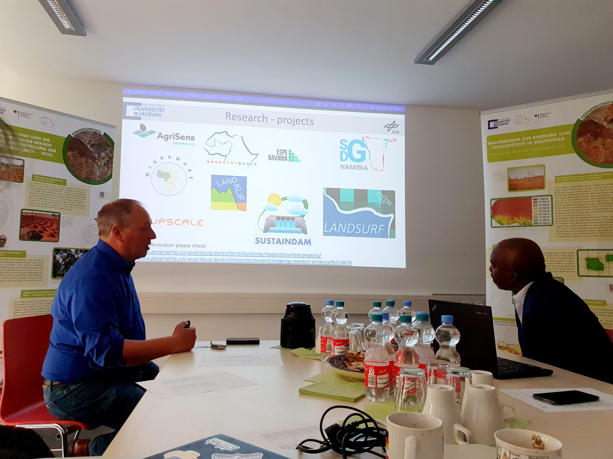
The two days were efficiently used for strategic planning as well as for discussing scientific activities and collaboration between BMBF-funded WASCAL-DE-Coop and WASCAL. In an invited open talk at the University of Würzburg, Ogunjobi presented the WASCAL research plan, its priority research topics, and their impact in West Africa and the 11 WASCAL member countries.

We are grateful for this fruitful visit and are looking forward to following up in further personal exchange.

Dr. Michael Thiel (left) from the Department of Remote Sensing at the University of Würzburg and Prof. Dr. Kehinde Ogunjobi (right), WASCAL Director of Research.

follow us and share it on:

you may also like:

KI4Stereo – Hybrid kick-off meeting at DLR

KI4Stereo – Hybrid kick-off meeting at DLR

KI4Stereo – Hybrid kick-off meeting at DLR: AI-based analysis of stereo image data for tree monitoringOn January 23rd, 2026, a hybrid kick-off meeting was held at DLR to officially launch the research project KI4Stereo (funded under the KMU-innovativ programme,...

EORC researchers teaching drone remote sensing at UNIS, Svalbard

EORC researchers teaching drone remote sensing at UNIS, Svalbard

During their current visit to Svalbard, EORC researchers have been teaching UNIS students from all over Europe on how drones can be used for remote sensing in the high Arctic. Invited by our UNIS collaborators Prof. Dr. Simone Lang (UNIS) and Prof. Dr. Eero Rinne...

New Funded Project on Automated Detection of Mining Areas

New Funded Project on Automated Detection of Mining Areas

In a newly launched research project funded by the KSB Foundation, we focus on the automated identification of mining areas based on remote sensing data. The aim is to systematically detect large-scale mining activities and to track their spatial and temporal...

Share This